It has been quite some time since I last did a station to station walk, for reasons that don’t need stating. While I remain wary, I am gradually re-acquiring my fondness for public transport – though I really wish that mask wearing remained compulsory. The day began with a walk of a couple of miles to the nearest place buses to Bristol call on a Sunday (another time, I’ll be happy to have a long discussion on the poor quality of public transport when the journey is between two council areas, despite the existence of West of England Combined Authority as regional transport authority… but not today). I’ve not done much walking recently, first because it was too hot, then because it was too wet. Today I had decided to keep smiling whatever the weather. Still, it was annoying to get soaked by an unexpected shower on this first leg, before I had even really started!
After a damp bus journey, I caught the train to Bridgwater from an eerily quiet Bristol Temple Meads. Network rail are currently making significant improvements to the track layout at Bristol East Junction, as well as to the station buildings (including restoring the roof and making a new station entrance). Excitingly this includes making provision for additional suburban services in the future. While all this is going on, the service from Temple Meads is limited.
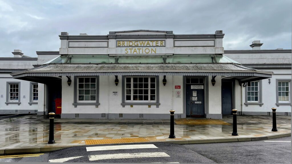
Bridgwater Station is rather magnificent, retaining the original buildings (not shown in their best light by my underwhelming photo). The start of the walk proper was complicated by being unsure how to get to the path – fortunately I spotted the unsigned narrow alley between two industrial buildings and emerged onto the banks of the River Parrett.
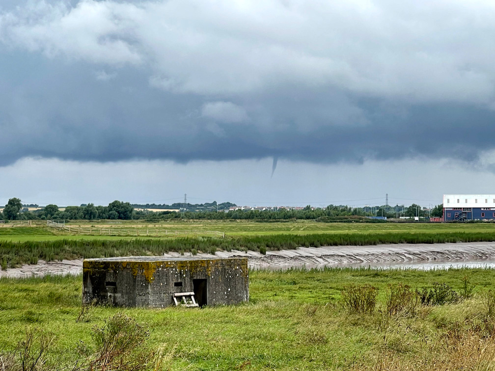
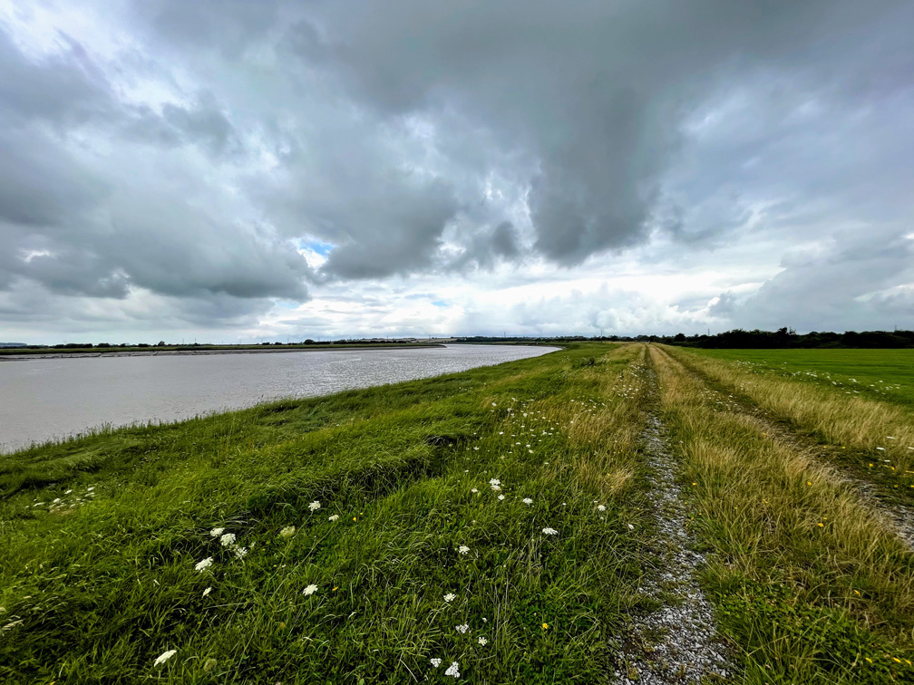
The weather continued to play its part. This first part of the walk was overgrown and my feet were quickly soaked. My shoes are waterproof, but there is only so much they can do! The situation improved markedly when the path became part of the England Coast Path. From that point on the walk is mostly on a gravelled, and very obvious, track. There was still a threat of a proper soaking though, and the funnel cloud and dark skies were a constant reminder.
The World War II pillboxes along the route were part of the Taunton Stop Line, intended to delay any invading forces long enough to allow reinforcements to arrive. There are (at least) five along this stretch of the river, and more at the Highbridge end. These are a reminder that there are much worse things than rain and poor bus services (though arguably decent, sustainable public transport will be one element in fighting climate change, which is likely to be the most important issue of all before too long.)
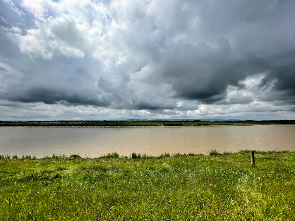
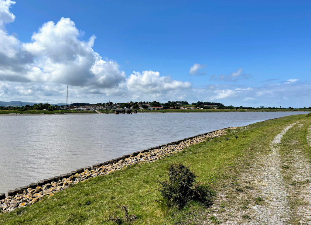
For the most part, the rest of the walk was easy and pleasant. The weather gradually improved, and the flat ground underfoot soon dried out. The walk is essentially a succession of views like those above. Big skies, and wide vistas across the slowly broadening river.
The outlook is very attractive, with the Quantocks to the left and the Mendips to the right.
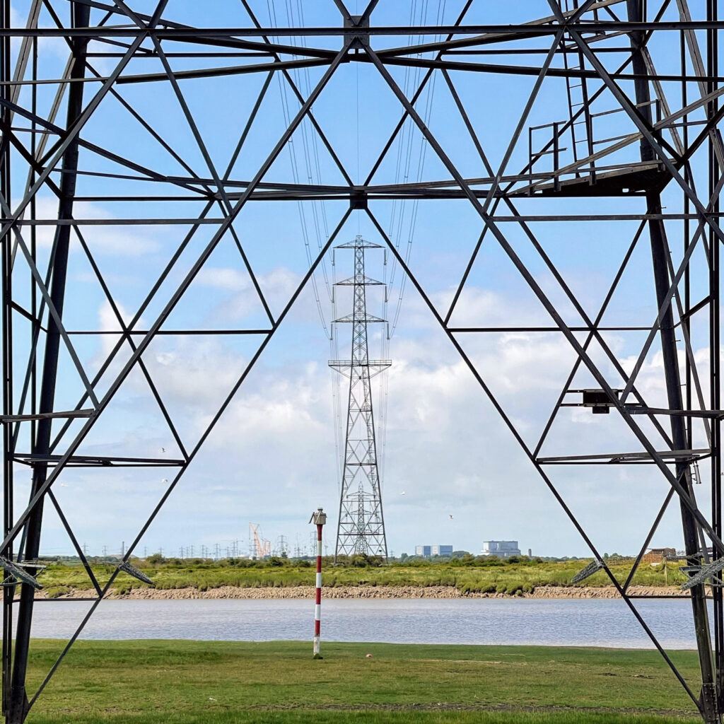
I stopped for lunch on the opposite bank to Combwich, which presumably owes its existence to the port. These days it is mostly used to serve the construction of nearby Hinckley Point C nuclear power station – the biggest building site in Europe.
Hinckley Point is ever present, visible for miles around and the pylons are impossible to ignore. Fortunately, I like pylons. Moreover on this walk they served as a useful compass in a landscape in which it can be difficult to maintain a sense of direction. I didn’t get a selfie in my “Atomenergie? Nein Danke” T-Shirt, which is a shame!
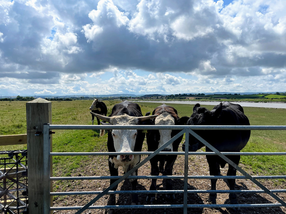
Earlier I noted that walk was pleasant “for the most part.” These fine looking fellows were the cause of the unpleasant part. Well, not exactly these guys but their over-protective harem. They resolutely stood exactly where I needed to get to. As I warily approached I was charged by around 30 cows. This was very scary. Cows are big, and they can move surprisingly fast. I am fairly experienced with cows, and don’t usually have a problem. Normally, unless they are with their calves, they either ignore or are quietly curious. I knew not to run, but had nowhere to go. All I could do was walk steadily close to the river, speak loudly and hope they realised I was not a threat. Most did, but a few came very close and gave me no room for manoeuvre. I couldn’t, of course, walk on the muddy bank and in a wetter season I couldn’t have been where I was either. The gate was the only way through a barbed wire fence, but fortunately I noticed a small section that looked climbable, and hopped over (probably more of a clumsy leap).
Unfortunately this incident means I cannot wholeheartedly recommend this walk. In parts the path is fenced off and this really needs to be done along the whole way. I was many miles from anywhere, if I had been hurt nobody would have been there to help. If I had been walking from Highbridge I would have been entirely stuck. I know it is legal to have bulls with cows in a field with a footpath, and it is often no problem, but on a national trail (like the England Coast Path) I think you should be assured of a safe passage.
Once I calmed down, I carried on, now worried about whether there would be any further encounters. There weren’t. The last few miles opposite the incredibly flat Stert Peninsula with Burnham-on-Sea coming into view, were fantastic. The England Coast Path winds around Steart Point so at some point I will be able to look back on this walk from a different perspective. Maybe I’ll shake my fist at the distant cows.
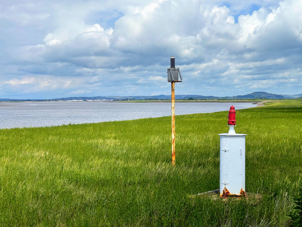
I had noticed several beacons marked on the OS map and was curious to see what they were like on the ground. Kinda cute!
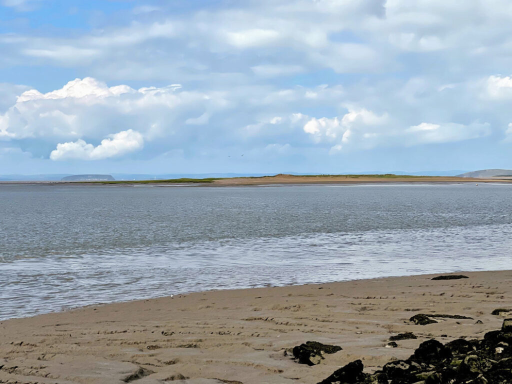
Another one of my (many) obsessions is islands, so I was keen to get a good look at Stert Island as I approached Burnham-on-Sea. It is not particularly impressive, but an island is an island. Gotta spot ’em all… According to wikipedia, it was formed in about 1798 when it broke off the Stert Peninsula. It is (as is so often the way) important for birds. You can see the (somewhat more impressive) Steep Holm in the background.
As an aside, Steart or Stert? Both it seems. According to A History of the County of Somerset: Volume 6, Andersfield, Cannington, and North Petherton Hundreds (Bridgwater and Neighbouring Parishes) “The name of the village and moors is pronounced locally with two syllables, that of the point and island with one.” The spelling seems to reflect that, though I am not sure I have it right everywhere in this post.
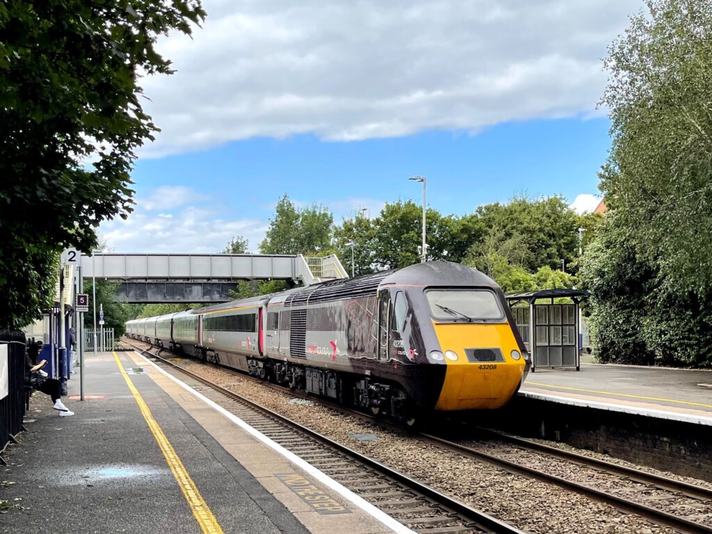
Finally, somewhat wearily, I arrived at Highbridge. I had about half an hour until the next train, so I popped in to the Coopers Arms next to the station. The fact I had a pint of Kronenbourg 1664 tells you about the selection of beer, but it was a decent looking pub nonetheless. It went down very nicely. The station itself is functional. It does have the unusual feature of being built on a bridge over the River Brue. I’m not sure how many other stations have a river.
Overall, apart from the cow incident, this was a really great walk. Easygoing, simple to navigate, relaxing and peaceful. Apart from the cows.
Distance: 14.5 miles.


