A few photos from a recent walk, starting and ending at Ivybridge station.

The walk began with a fairly lengthy climb up the Two Moors Way, entering the Moor itself at through a gate at the top of a lane and diverting due east to climb to the top of Western Beacon. The view from the top makes all the climbing well worth it though.
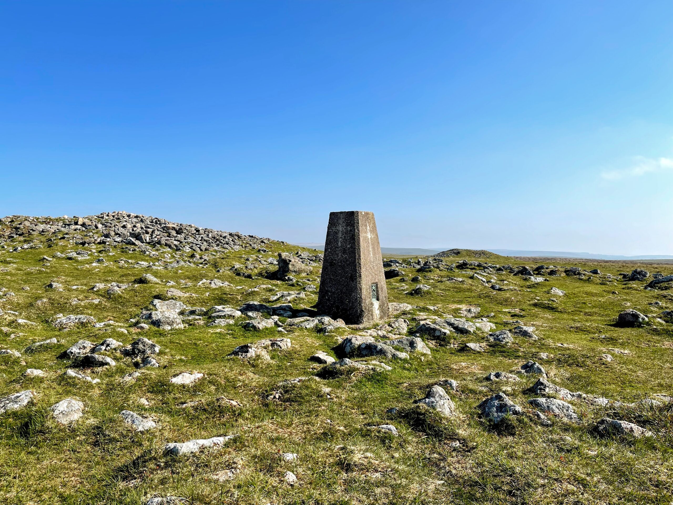
I then followed the line of boundary stones to reach Butterdon Hill, and the cross inscribed trig point. I’m not sure how long the trig has been decorated in this way, but it seems appropriate on Dartmoor.
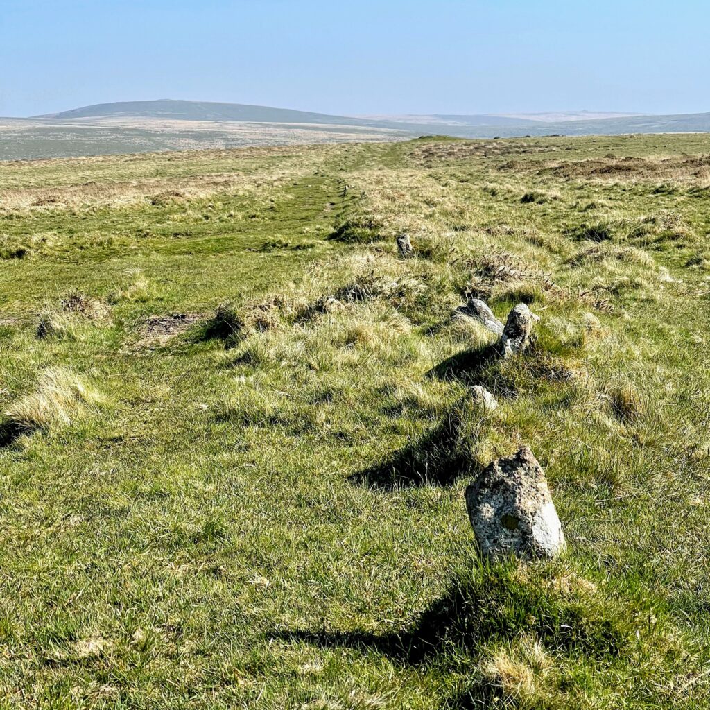
From here I followed the path of Butterdon Stone Row, the second longest on Dartmoor. Each individual stone was not always obvious, but the overall path was clear (and not just because of the track left by previous pilgrims). Stone rows have always fascinated me. A row on this scale, over a kilometre in length and comprising several hundred stones, must have taken considerable effort. Their association with cairns and other burial artefacts clearly hints at some sort of spiritual purpose. However, personally I’d love to think that that they had an entirely banal purpose and that the people who erected them would be astonished at the meanings we ascribe to them. After all, the line of boundary stones I was following before this is equally as impressive, just not really old.
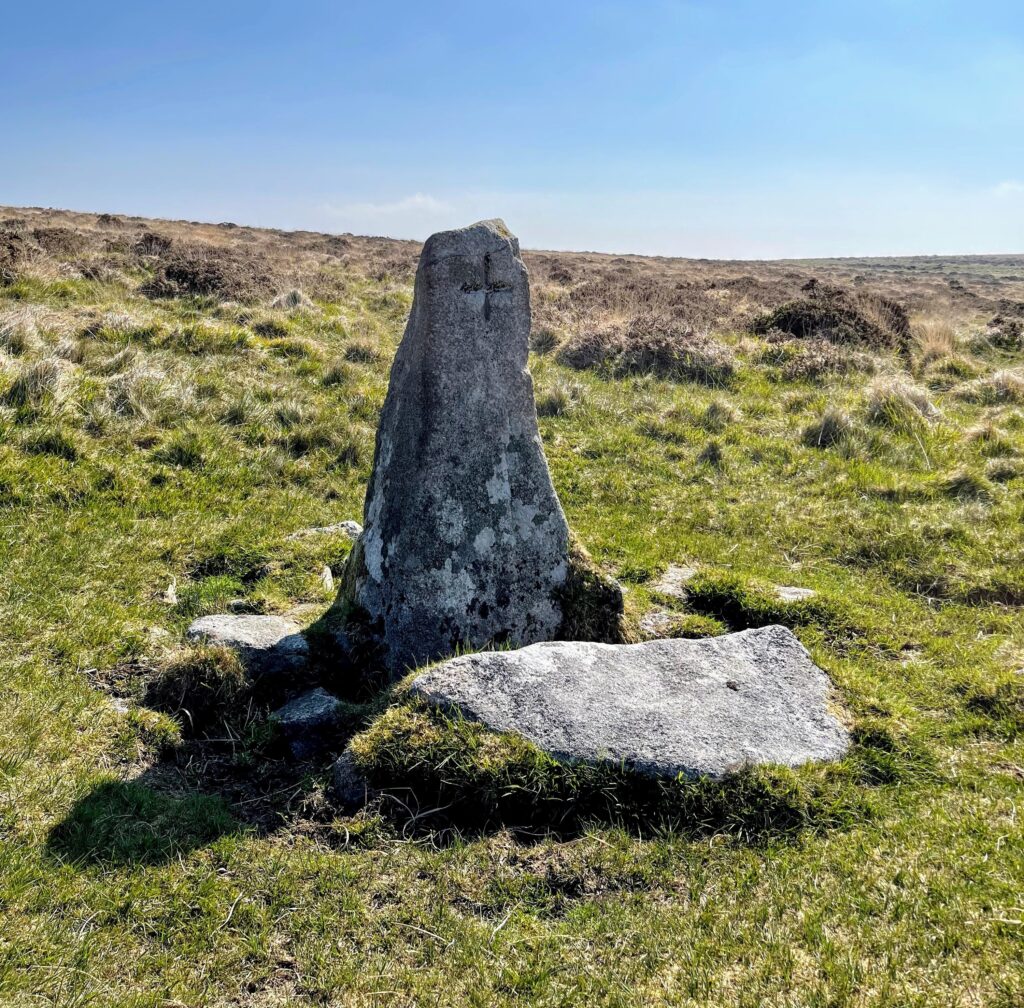
There are several theories as to where the Butterdon Stone Row originally terminated. One is that Hobajohn’s cross, as seen above, marks the end of the row. This certainly seems to be the case now. Hobajohn’s cross is a curious object – not really being a cross at all. There is evidence that the stone itself has always been the terminal stone, only later being rather crudely turned into a cross. However, there is an illustrations on an old map that shows Hobajohn’s Cross as an actual cross. One potential explanation is that there used to be a cross on this (or a nearby) location which suffered some misfortune, and that this crude carving was used as a convenient replacement. Another idea is that the original Hobajohn’s Cross was on Three Barrows, or indeed that there never was another cross and this is how it has always been. You can read more on the wonderful Legendary Dartmoor page on the topic.
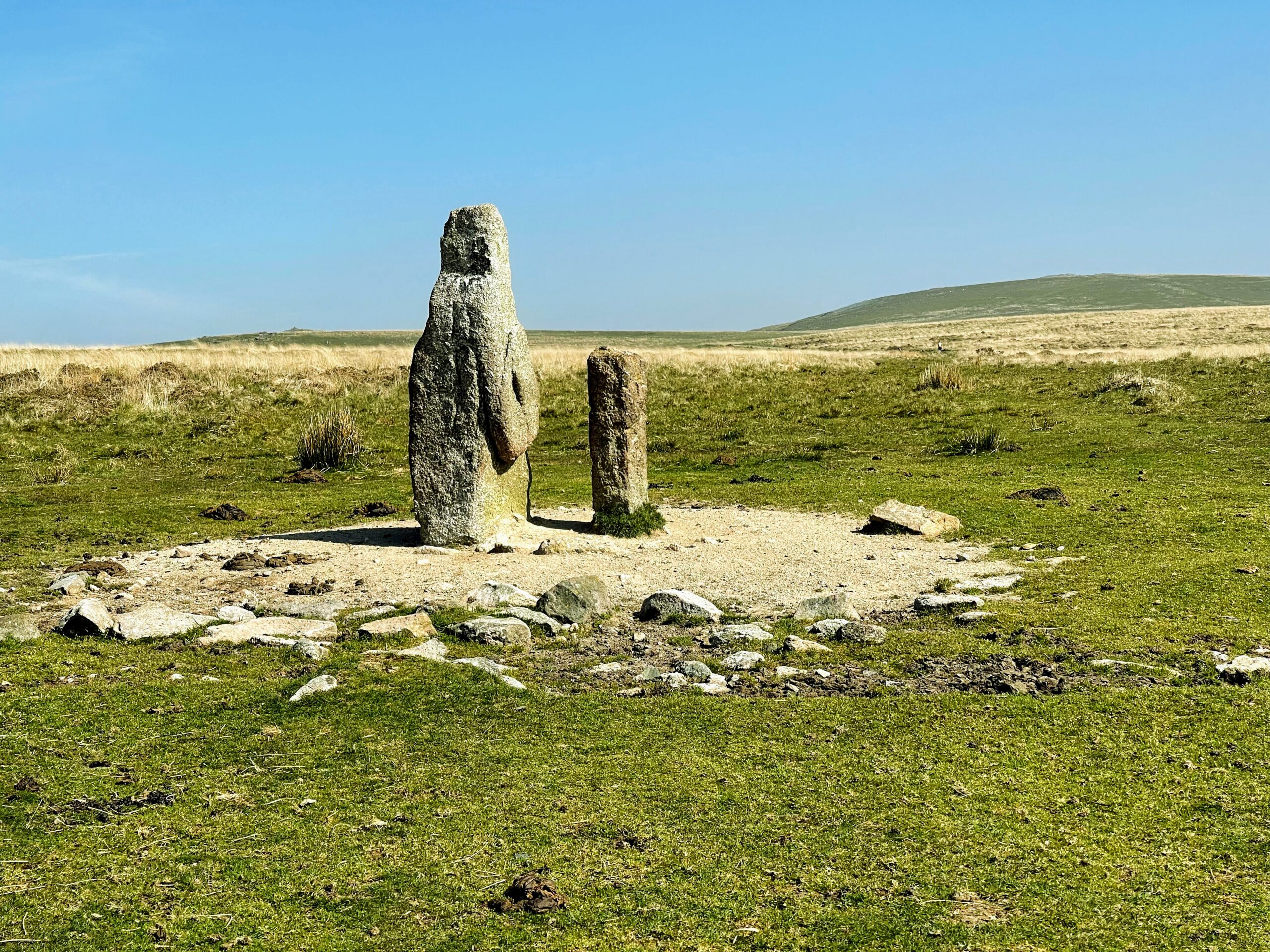
Another potential endpoint for the Butterdon Stone Row is the Piles Hill Longstone, which is marked on the map as recumbant but has recently been re-erected. According to the Legendary Dartmoor page on the topic, there was a boundary map from the 1800s that showed the row extending this far, although the stones are missing today. It does seem logical that this relatively impressive stone would be associated with the row, but these questions seem forever unresolvable – and I love the unknowableness.
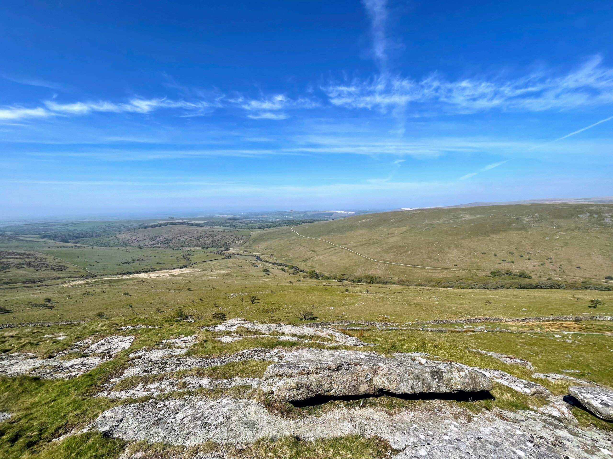
From Piles Hill I walked over to Sharp Tor. The view from here over the spectacular Stalldown Barrow and up the Erme Valley is simply wonderful. None of my photos even vaguely do it justice. I sat for quite a while just lost in the scene before my reveries were broken by a couple of runners who clearly welcomed the opportunity for a chat as an excuse for a little breather.

The downside of starting and ending a walk with public transport is that there is a timetable to consider, and I decided I need to head back. It was a bank holiday, and if I missed my train there was a four hour wait for the next one, and I had an important engagement with pitch and putt with my daughter! I headed back along the cycle path which forms the Two Moors Way, diverting briefly to take in Spurrell’s Cross, another fascinating object with a story to tell. These days it is in a sorry state, having lost an arm and the shaft, but it is clear that the cross has an interesting design. It was restored in 1931 and again in 1954, to place it on top of a new shaft and give it some sense of how it once would have looked.
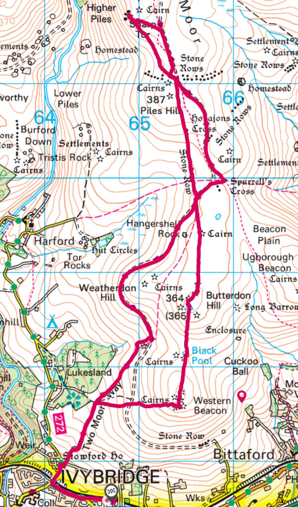
From Spurrell’s Cross I continued following the Two Moors Way and headed back to the station. I love walks from Public Transport, but Dartmoor is generally poorly served. Nevertheless this walk shows that there is much potential in walking from Ivybridge – and if I hadn’t had to hurry back there was much more to explore. I’ll be back.
Walk Distance: 9.2 miles
