I spent a very pleasant Sunday morning walking the Chew Valley 3 Peaks with a friend who is in training for the Cotswold Way Challenge in a few weeks time – a 100km walk from Bath to Cheltenham. This walk is not on that scale, and neither is it in any way comparable to the famous Yorkshire 3 Peaks walk. Instead it is a 17 mile circular route through the lush countryside surrounding the River Chew.
The 3 peaks in question are Maes Knoll, Knowle Hill and Blackberry Hill – although the route doesn’t actually take you to the top of the last two. We started in Pensford, and headed NW under the viaduct, up Guy’s Hill and through Norton Malreward. I’ve walked this route before (see this post) and remembered how much I struggled up the hills. It is gratifying that, while I was still very pleased to get to the top, it felt much easier. Progress.
Maes Knoll (flat top hill) refers to the iron age hill fort, rather than the hill itself. It was apparantly built around 250BC, by the Dobunni tribe (about whom I know very little, but I am instantly fascinated by) and if it had a defensive function, it was certainly in a commanding position. The views from the top are pretty amazing and wide ranging. There is also quite a lot still to see of the fort itself including the very prominent tump visible in the picture above.
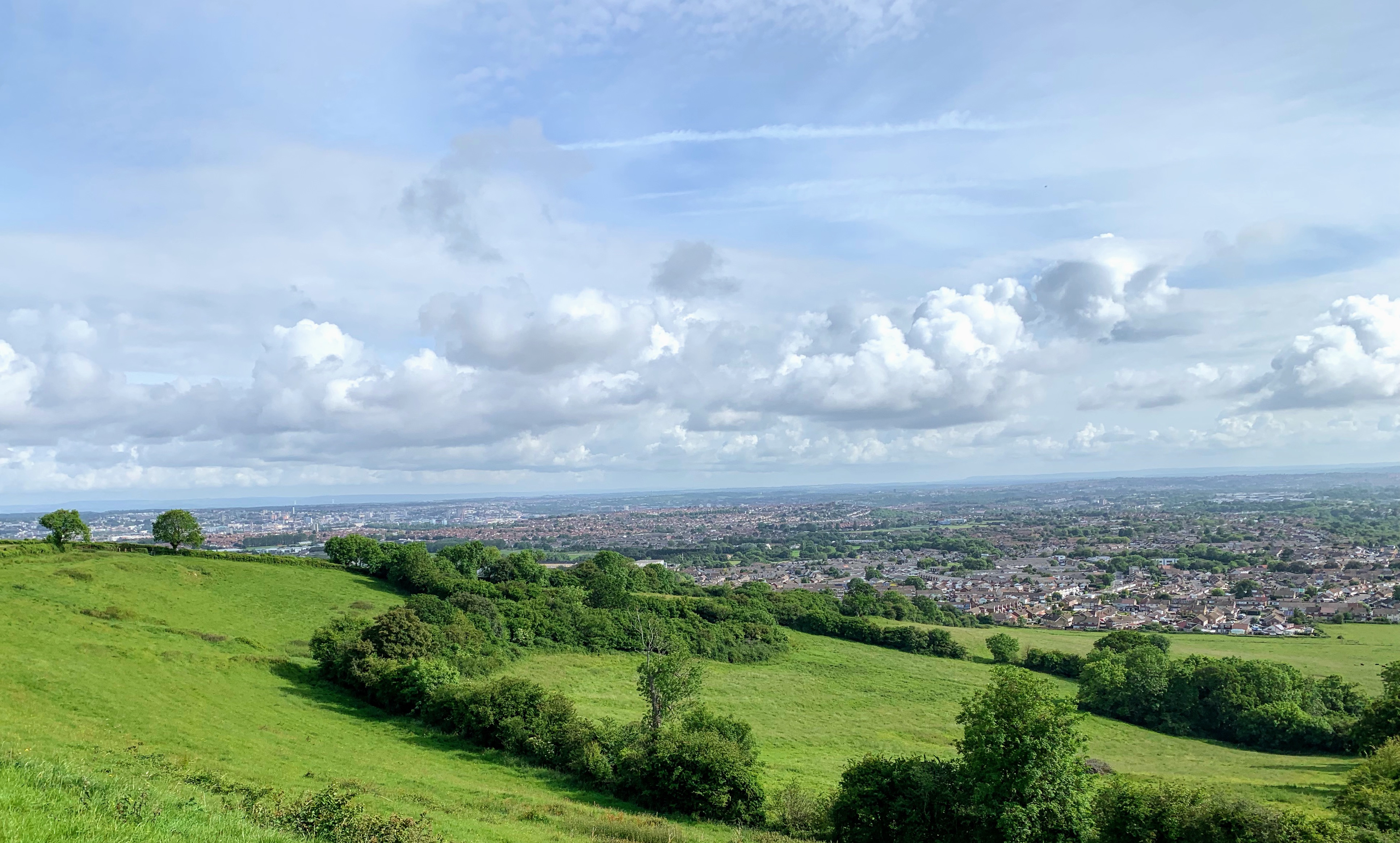
The walk continues along the Dundry Down ridge, taking in some great views of Bristol and on into Wales. This would be a wonderful vantage point for the Bristol Ballooon Festival.

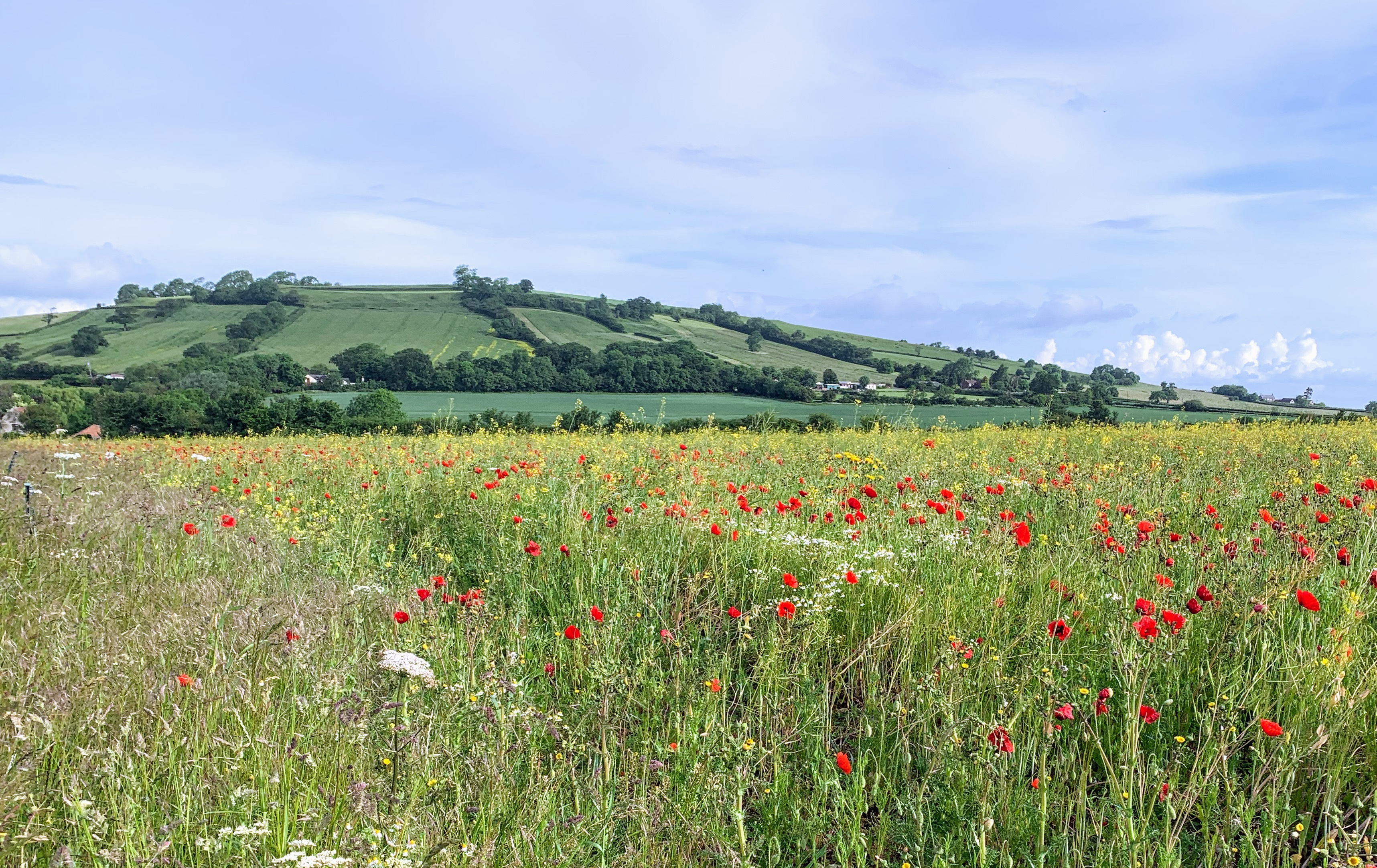
Sadly, the rest of the route, while green and plesant, doesn’t quite live up to the grandeur of the start. The path drops down the valley into Chew Magna, before heading across open fields towards Knowle Hill. We saw a lone runner from the Chew Valley 10k, suggesting he was either way behind or somewhat off piste! Sneaky shortcut perhaps?
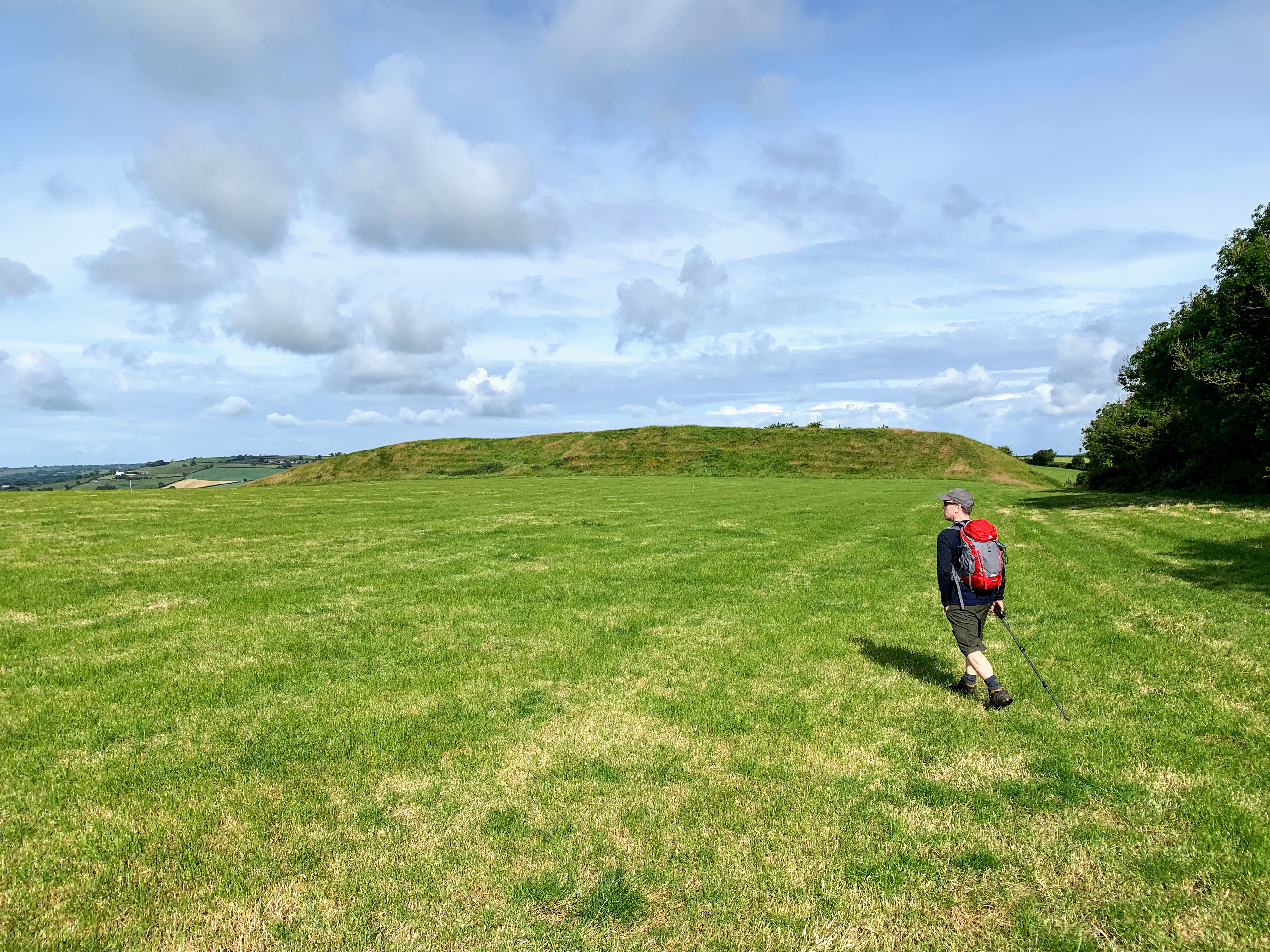
Knowle Hill, the second of the peaks, was entirely underwhelming. I envisaged views across the Chew Valley Lake, but instead the path skirted the edge of a low mound. There was no way to leave the path and reach the “peak” either. Underwhelming.
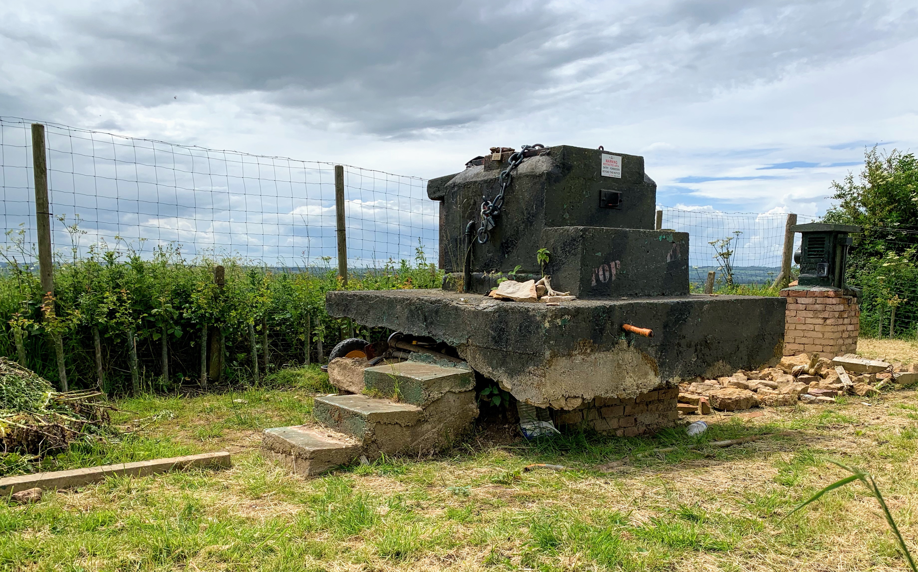
The third peak, Blackberry Hill, is also unreachable from the public footpath, but is certainly more impressive. It is the middle of 3 hills, known as The Ooozles. We didn’t trespass to reach the trig point, but instead reached the peak of Barrow Hill, the hill next door. On the top is a Cold War Bunker, locked and behind a fence of course, but interesting all the same. There are plenty of pictures of the inside online (see this interesting post from the Urban Explorer) and until recently you could visit on Heritage Open Days. It was sold last year (for £23,000) so I dont know if the new owner will keep that up.

This was the end of our walk, having done all 3 peaks. Obviously, given it is circular, the route loops back to Pensford. I’ll be back to complete the loop on another occasion. It is not far from here to the Hunters Rest, where we made our way for a well earned pint and Sunday Roast.
Distance: 13 miles.