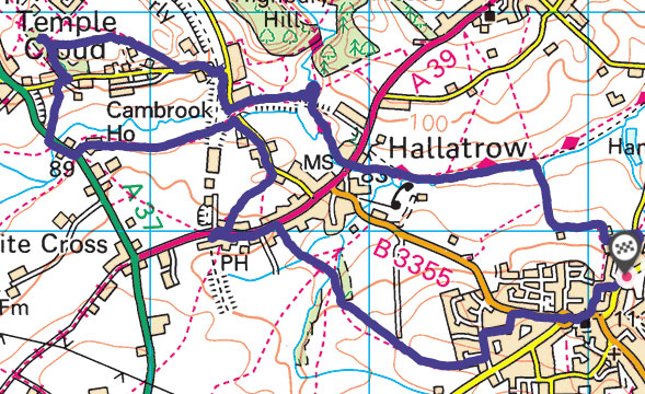
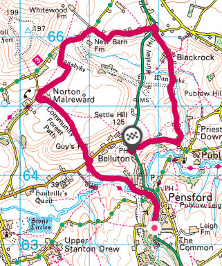
A walk starting and ending in Pensford taking in the Medieval Wasndyke and the more modern remains of the Bristol and North Somerset Railway.

This walk was basically a 6 mile circular route around Pensford, although on my route map below you’ll see that I stopped recording at the pub in Belluton. Can’t imagine what happened there…
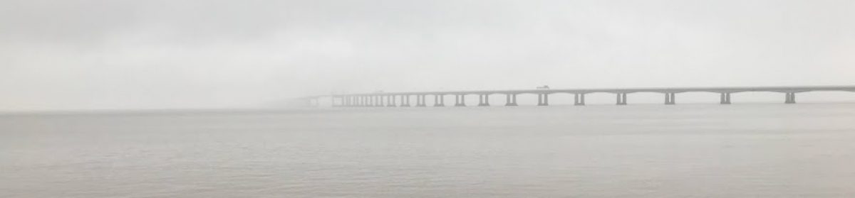
For anyone that knows Pensford at all, there is one very obvious and very impressive relic of the old B&NSR – Pensford Viaduct. At 995 feet long and 95 feet tall it dominates the local scenery. It was the most expensive and difficult part of the construction of line. It was reported at the shareholders meeting in January 1865 that the piers needed excavations of 20 feet to reach any sort of foundation [1]. Sadly there is no access to the viaduct itself these days, but even walking underneath is awe-inspiring.
The walk heads under the viaduct towards Norton Malreward – one of my favourite local place names – taking in some terrific views of the Chew Valley along the way, especially after the steep climb up Guy’s Hill.
Norton Malreward sits below the hill of Maes Knoll, an iron-age hill fort. Maes Knoll also marks one end of the Wansdyke, a medieval linear defensive earth work which (possibly) ran from here to Morgan’s Hill in Wiltshire. I say possibly – there is some debate about whether it used to extend further west, but if so there is very little if anything left of it . Also, it is not clear at all that it was one contiguous feature – the West Wansdyke from here to Monkton Combe and the (more impressive) East Wansdyke in Wiltshire may or may not have been connected.
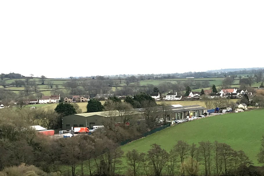
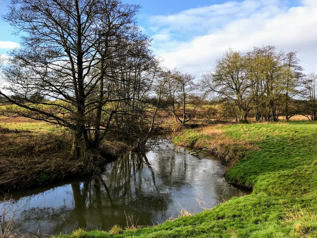
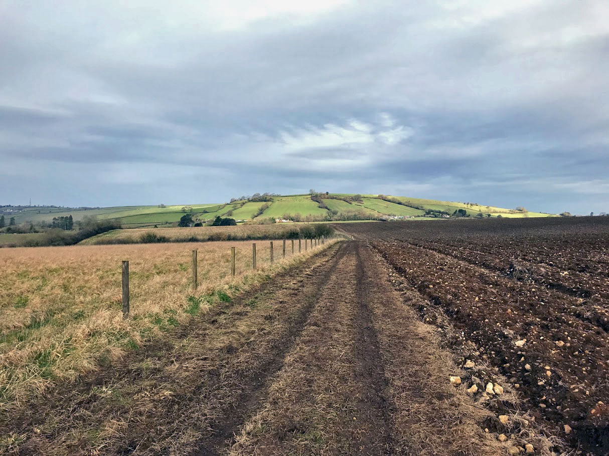
Either way, I tried to pick out what remains of the dyke can be seen on the ground. The answer, at least in the first site I visited, is “not much”. In the photo above the Wansdyke follows the route of the hedge. There is a scar of green grass highlighted against the ploughed field in the middle distance that may mark it out. The hill on the horizon is Stantonbury – the site of another hill-fort on the route of the Wansdyke and no doubt the target of another day’s walk.
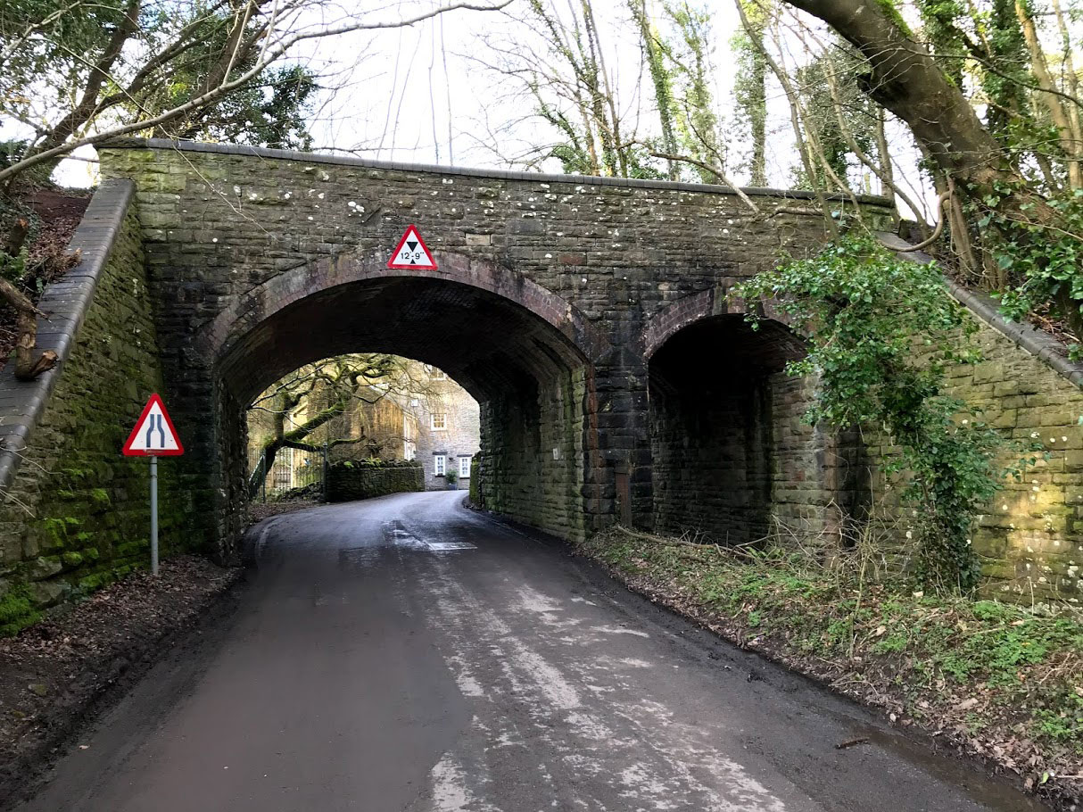
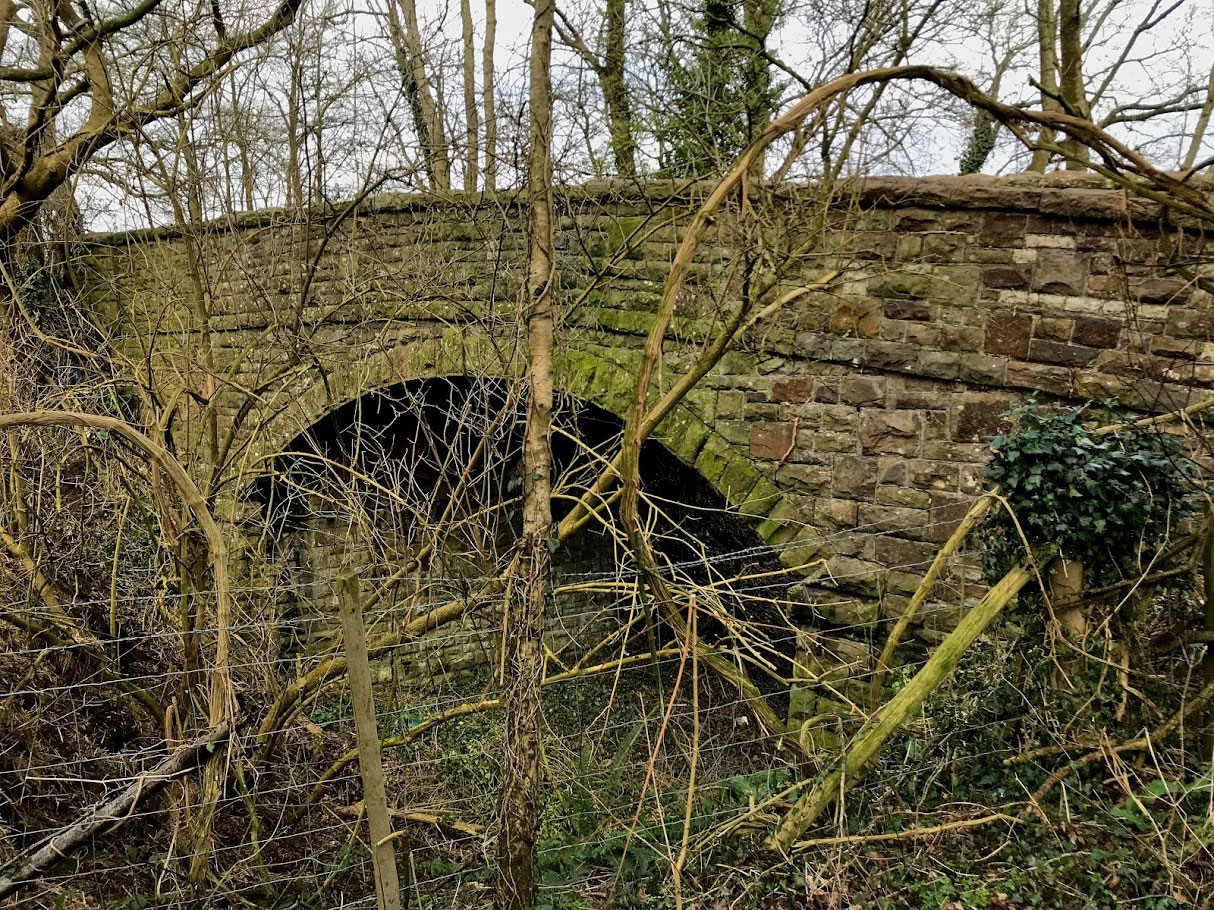
After the super impressive remains of the viaduct, the next encounter with the B&NSR is a little underwhelming. Still, the road-bridge near to New Barn Farm in the photo above is actually what I came to see. There was no obvious way to get a shot of the arch itself without leaning perilously out over the edge. Maybe I should get a selfie stick for this sort of thing!
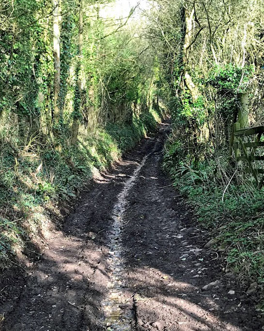
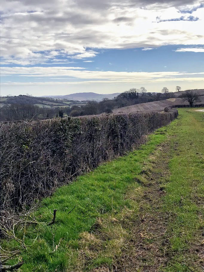
The rest of the walk was along minor roads – it turns out that I find this quite tedious, and after a few miles I was really missing the muddy fields! Nevertheless there were some interesting things to see along the way. Walking down Blackrock Lane I passed another section of the Wansdyke, which by eye was rather more obvious, but which I struggled to capture with the camera.
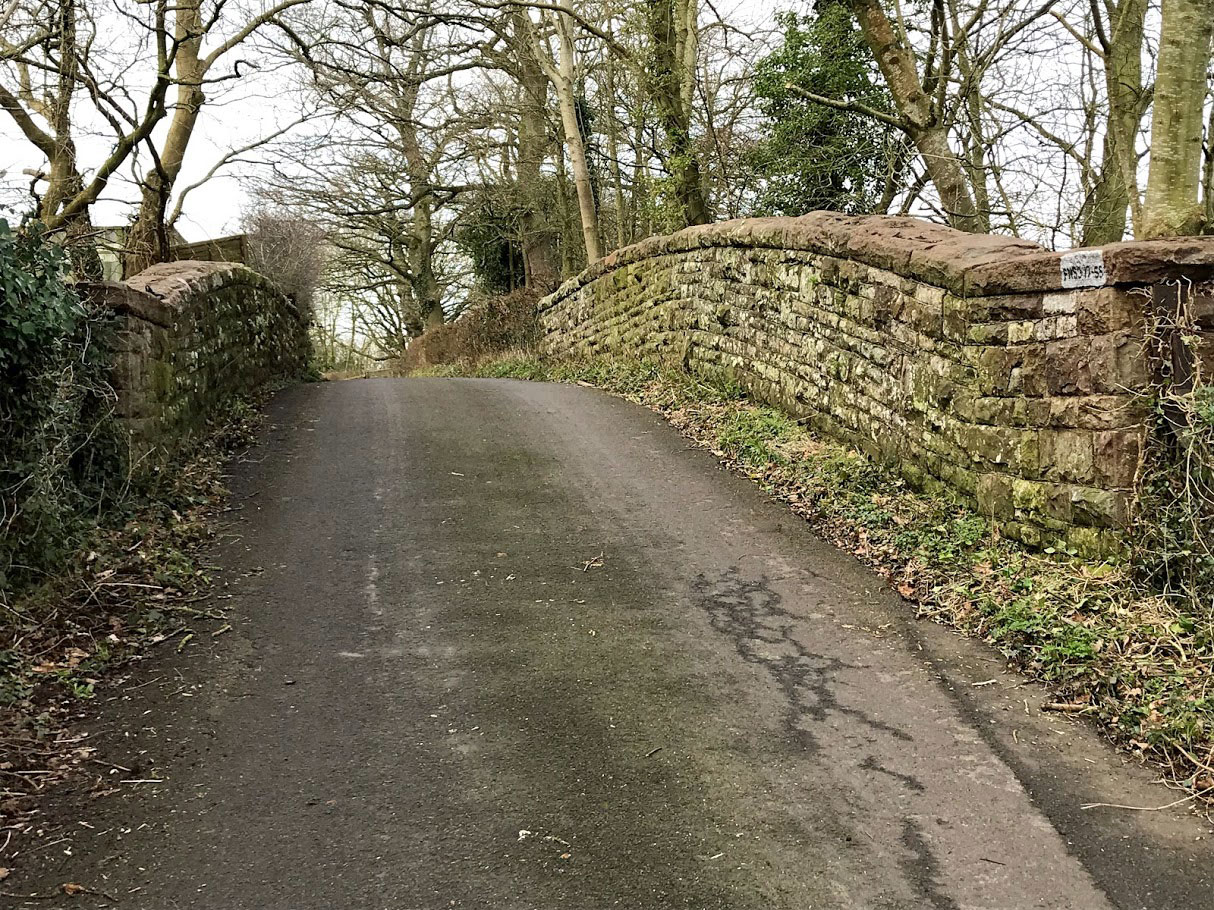
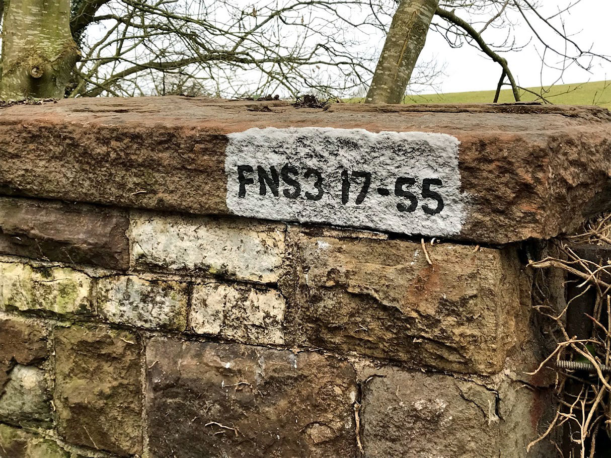
Nearing journeys end, just past the village of Publow, was the second B&NSR railway bridge that I wanted to see. This one is labelled FNS3 17-55. I don’t know what these labels mean, or how old they are – but I’m going to keep collecting them!
This one did have a handy nearby gate that facilitated a sneaky peak from the side. I realise this is a slightly singular pursuit, but I am enjoying visiting these half forgotton relics. Even these small bridges must have taken a fair amount of effort, planning and financing – and yet now they serve very little purpose. I find this a sobering thought.
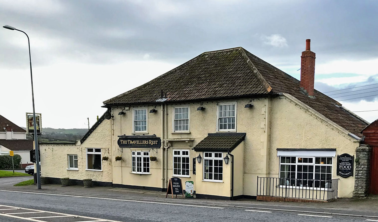
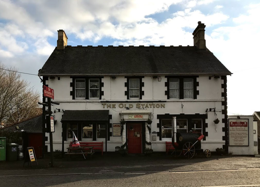
And finally – a walk that finishes (well nearly) at a pub! I’ve been meaning to visit the Traveller’s Rest for years but have never previously made an excuse. It was before noon when I arrived, so I wasn’t surprised to find it empty – but I was pleasantly surprised to find a reasonable range of beers on offer. I had a decent pint of Travellers Ale from Box Brewery (an obviously re-badged version of one of their core range). A pub that definitely warrants a return visit.
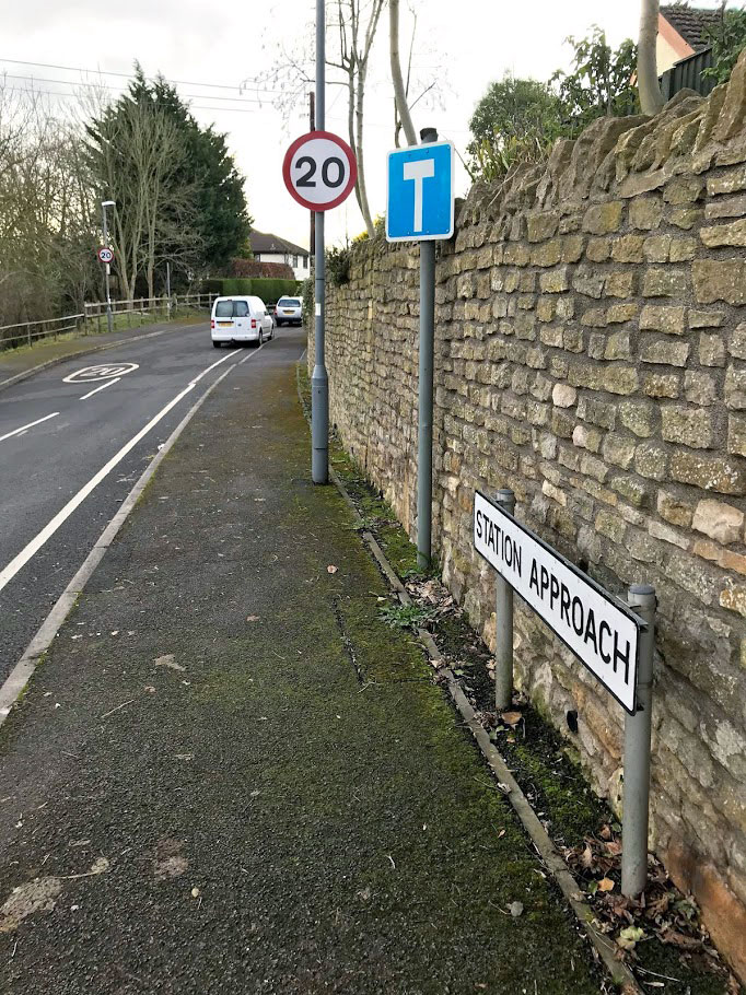
On old OS maps the Traveller’s Rest is called the Railway Hotel and indeed it is located close to where Pensford Station used to be. Pensford was apparently the least used station on the line despite being intended to serve the whole of the Chew Valley. There is nothing left now to mark the location of the station, other than the name of the road.
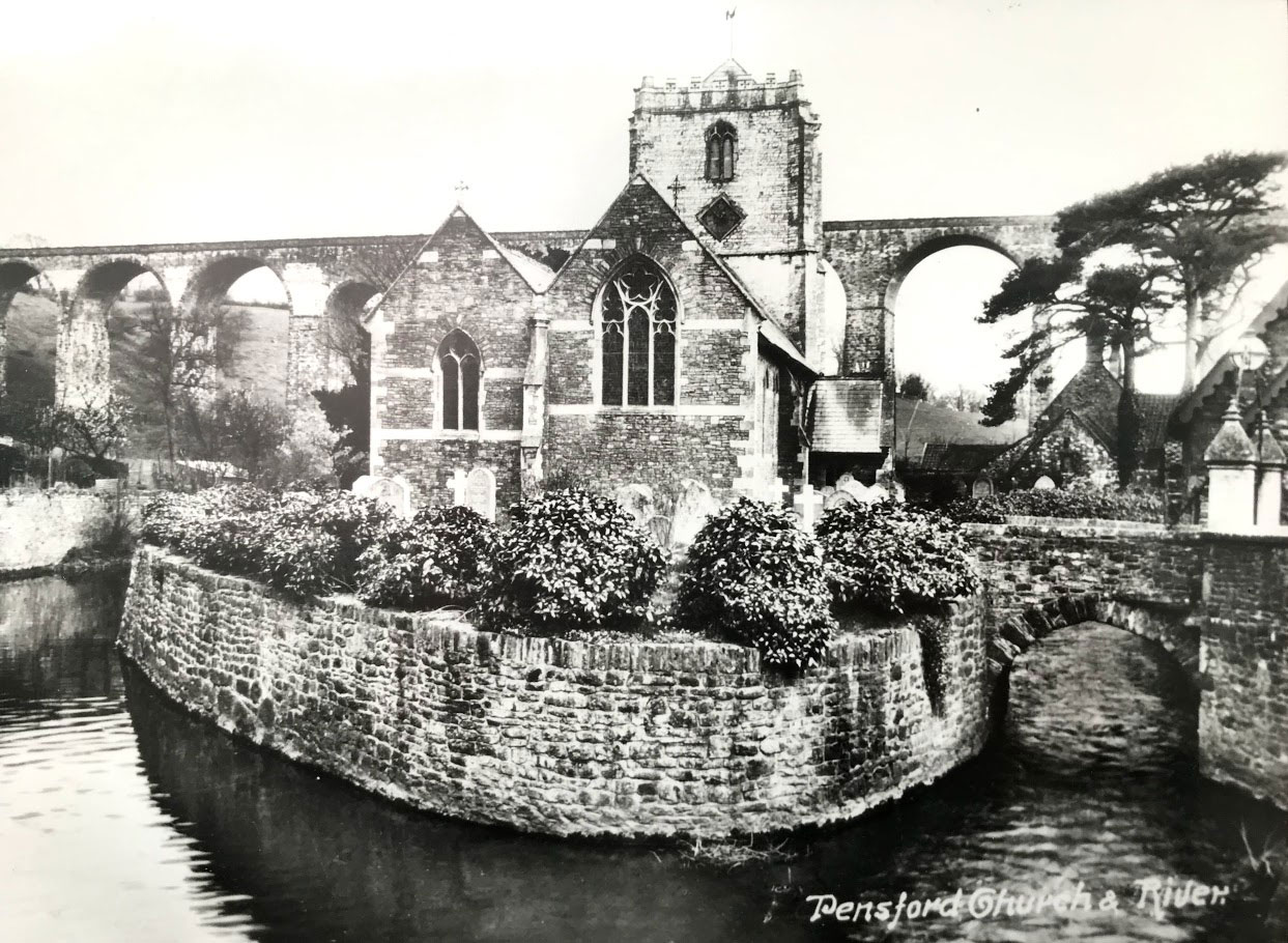
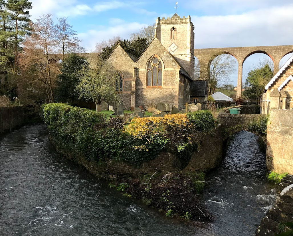
A bonus at the end of the walk – I popped in to the cafe in the centre of Pensford for a coffee since I had 20 minutes to wait for my bus. On the wall were some old photos of the village, including the view above which is a remarkably similar photo to the one I had coincidentally taken 2 hours previously. It is (and always has been) a lovely view!
[1] Western Daily Press, Thursday Feb 2nd 1865