Mendip Way Circular #5

I’ve let my blogging slip, so I have a few walks to catch up on. Rather than leave them undocumented, I’m going to do a few fairly short posts to get up to date.

This walk was another pleasant stretch of the Mendip Way, starting and ending in Shepton Mallet. Setting off across Barren Down, I soon emerged onto the main road via some steps that I have long wondered where they led. Another mystery solved!

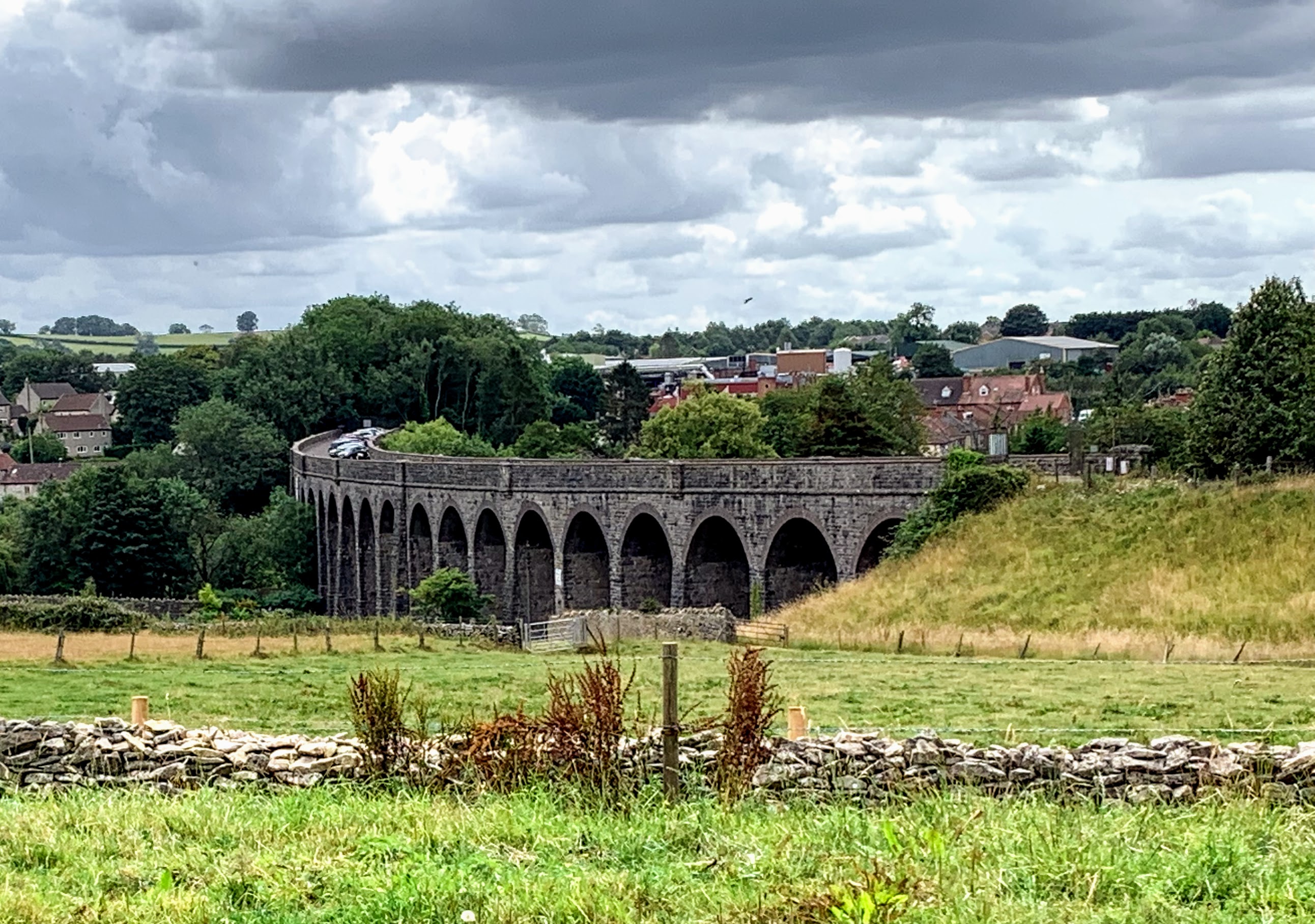
Crossing over the road, the Mendip Way leads behind Kilver Court and into sight of the wonderful Charlton Viaduct. It used to carry the Somerset & Dorset Railway over the River Sheppey. The curve makes it really beautiful in my eyes. Still clearly serving a practical use as a car park, it is a shame walking over it is not allowed.

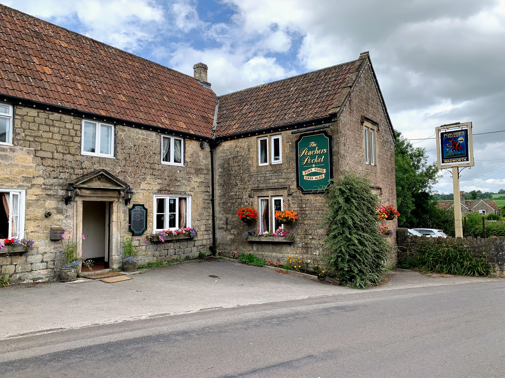
After a climb up Ingsdons Hill, the path drops down into Chelynch where I called into the Poachers Pocket for a pint and pickled egg. The welcome was friendly and the beer was good, and on this occasion I could take advantage of the beer garden. Browsing the internet I discovered that permission had been turned down a few years previously for a sizable solar farm on Ingsdons Hill. I mention this because I find this a difficult subject to resolve my thinking on. Ingsdons Hill is beautiful as it is, but without space being given over to renewables, this isn’t going to matter before long. The same can be said for housing of course – people need homes. But they also need life to be worth living, and for many of us that means having access to unspoilt countryside. I’m glad I don’t have to make these decisions.

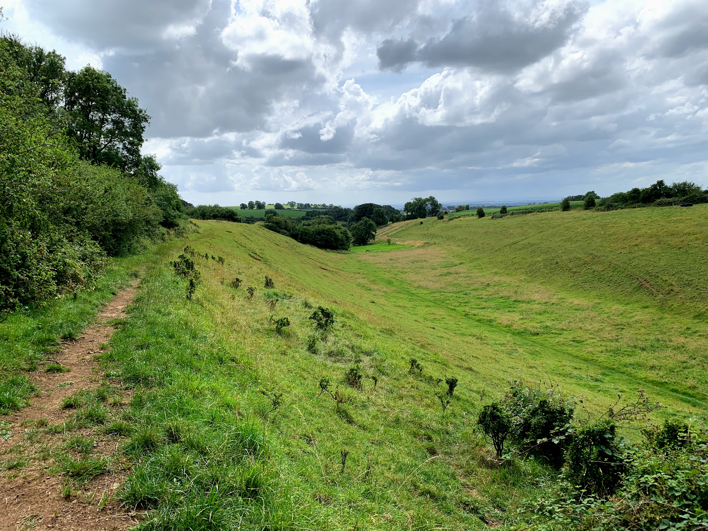
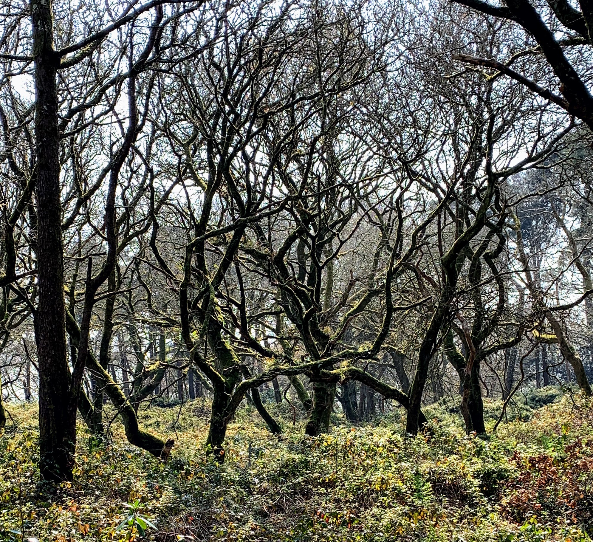
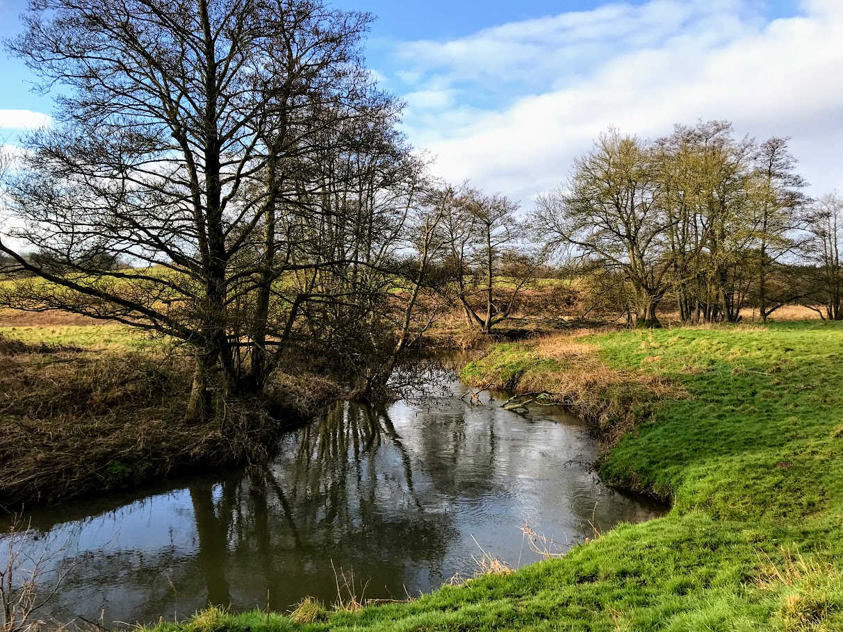
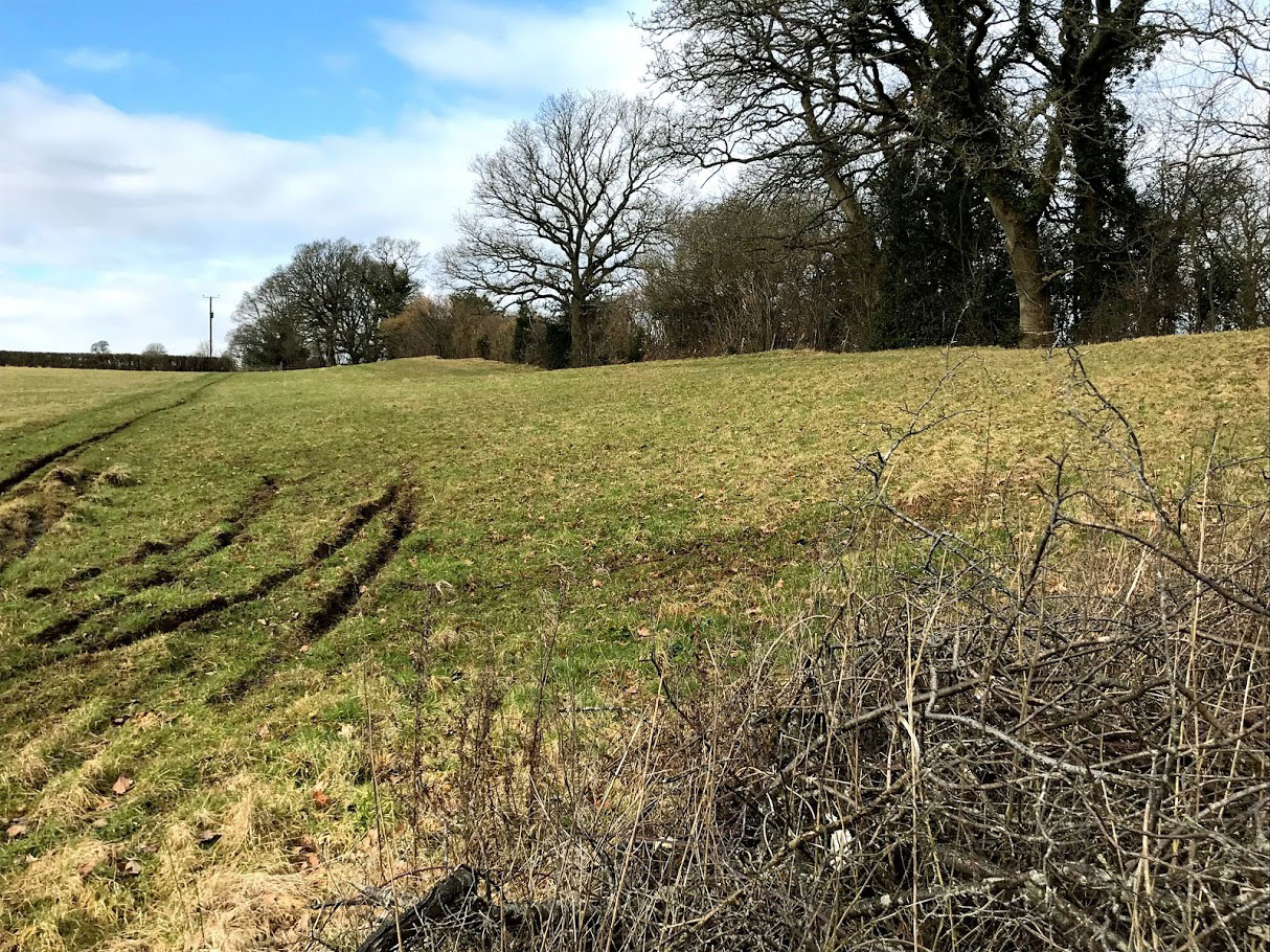
I enjoyed this valley on the way between Chelynch and Doulting. It doesn’t look natural to me, but there is no hint on the map that it is anything other.

The Church of St. Aldhem

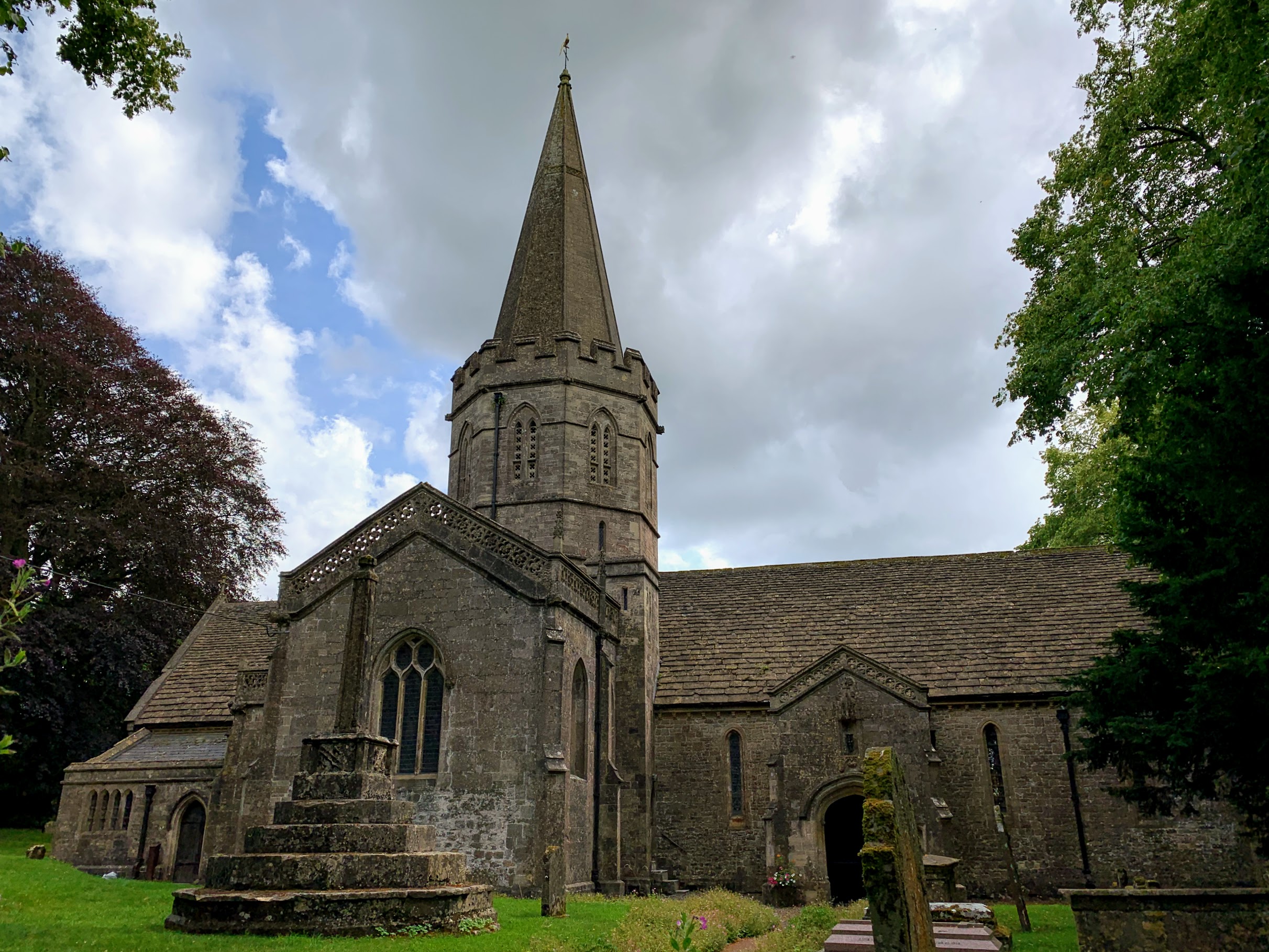
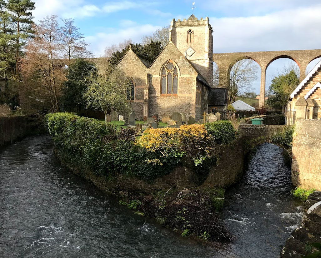
Doulting itself is full of amazing old buildings. The Church of St Aldhem is named for the nephew of King Ine of Wessex, who died in the village in 709. It has a very grand spire, and apparently there is a Green Man in the vaulting of the porch – a definite reason to return. There is a natural spring here, called St. Aldhem’s Well, which is the source of the aforementioned River Sheppey.

View from the top of Whitstone Hill

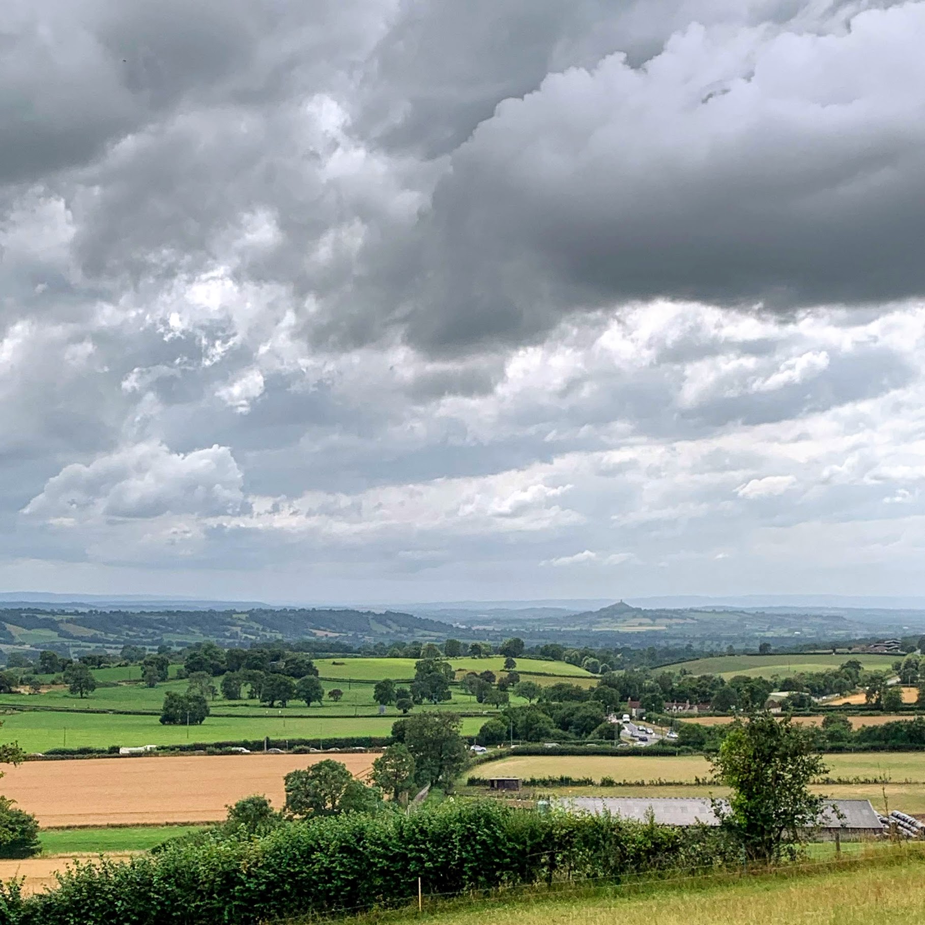
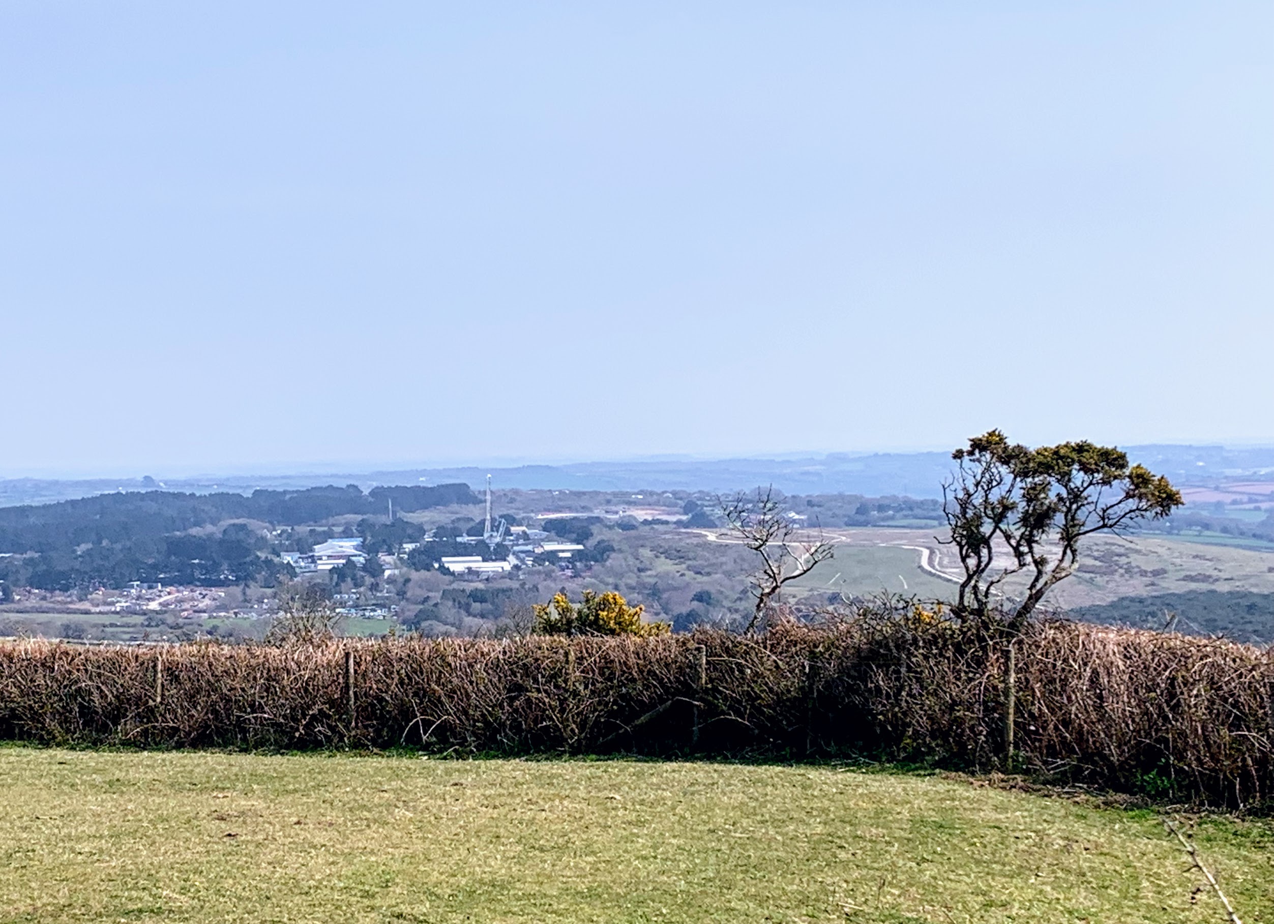
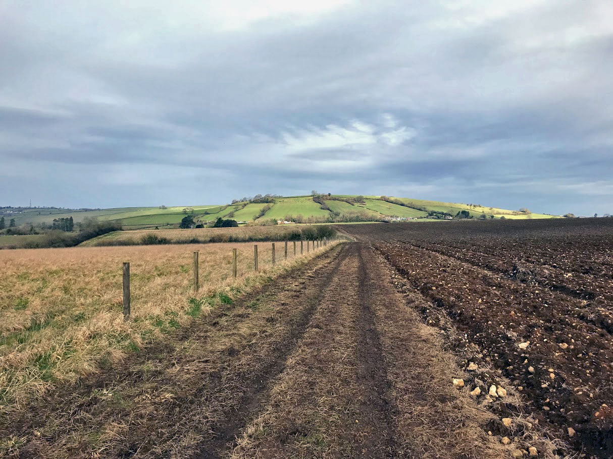
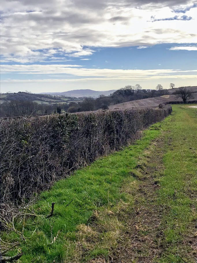
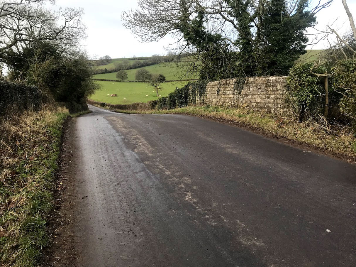
From Doulting I took a south-westerly route across Doulting Sheep Sleight and up to the top of Whitstone Hill. I have looked longingly at this hill almost every morning as I drive past on my way to work. It doesn’t disappoint. It is not a spectacular hill in and of itself, but the view from the top is everything you could ask for in this part of Somerset. I sat and ate some lunch while watching a helicopter land and take off again from the direction of Worthy Farm. I hope whoever was in it was not too busy to notice the spectacular vista laid out before them.

Distance: 7.7 miles

Station to Station: Redruth to Perranwell

I’ve had this one planned for quite a while, and a weekend away in Falmouth provided the opportuntity to get boots on the ground. It was also another occasion when I was walking with company – one of my oldest friends David. The weather looked good, but we hadn’t bargained for the strength of the wind! The start of this walk was quite exposed. If you follow in our footsteps, wrap up warmer than we did!

We caught the train from Falmouth Docks, changing at Truro and heading south west to Redruth. The Penzance train was about 40 minutes late at Truro, but we were in no rush so for us this was just a minor irritation. We grabbed a coffee in the heated waiting room.

Once at Redruth, we headed out of the town via Sea View Terrace. It seemed unlikely that the the sea really could be viewed. However, as we climbed up the hill we were proved wrong. Although the weather today was not going allow us to actually see the sea, the radome covering the air defence radar at RRH Portreath was clearly visible.

Our first planned destination was Gwennap Pit. This is a grass covered amphitheatre where John Wesley preached eighteen times between 1762 and 1789. The present form came about after his death, when locals remodelled it as a memorial. Originally, it seems to have been a hollow caused by subsidence from mining activities, and presumably appeared less regular than it did now. It was larger originally too. Wesley himself claimed to have preached to 22,000 people there. Pevsner is sceptical of this, saying he “either mis-remembered or exaggerated”, but I am not so sure. Certainly there is no way that that many people could fit in the pit itself, but as this report from The Graphic on 17 June 1876 points out, there is room for large numbers in the surrounding area and large crowds still gathered even then:

But whatever Gwennap Pit was, it is now an insignificant hollow in a hill side; “looks nothing in itself, sir when it’s empty you might easily pass by and not notice it,” said a man of whom we asked our road. And he was right so that any one who expects to find the chasm, like the crater of a huge volcano, in which the engraving, so popular in West Cornwall, represents Wesley, perched on a jutting rock, preaching to assembled thousands, will be sadly disappointed. So far from being a grand chasm, “the Pit” makes no break in the unmitigated ugliness of the Redruth neighbourhood. The print, like many other prints of the kind, is untrue in every point, except in the matter of the assembled thousands. These may be seen every Whit-Monday– a great day everywhere among the Cornish Methodists. Crowded trains run at single fare, hundreds tramp in afoot, every sort of conveyance brings its quota, and, by the afternoon, when the services’ begin, there are sometimes 20,000 people gathered in and about the Pit.”

The Graphic – 17 June 1876

From Gwennap Pit, we descended into Carharrack. The view from the path above Carharrack is terrific, if (like me) you enjoy a slightly industrial landscape. The pub in Carharrack was not open, and indeed has slightly restrictive (and unusual!) opening hours scrawled on the blackboard outside – “Monday – Closed all day, Tuesday – closed, Wednesday Thursday – Closed all day, Friday Saturday Sunday, 7pm to 12:00.” I guess they know they their local market! According to the sign outside, this was “Cap’n Blood’s Tavern”. He must have been away during the week.

We then walked through Outer Wood, accompanied by increasingly severe warnings not to stray off the path. Danger of Death was enough to keep us firmly out of the trees. The dangers arise from the old mine workings of Wheal Squire, part of United Mines, which produced 20,000 tons of copper from 1816-1853. Some of my ancestors were copper miners at the time in this general area, so it is fascinating to imagine what the world was like for them. I suppose there were fewer health and safety warnings…

From here, the route was across the fields to Frogpool. I went to Frogpool just once as a child, and for some reason all I can remember is that it seemed very white! It still does – the buildings seem almost universally to be painted white. We were pleased to arrive at the (white) pub before it closed, with minutes to spare, and stopped for a pint. The clientele and bar staff seemed very friendly, and the beer was good.

From here it is a short walk along roads and byways into Perranwell. The path we choose took us via Bargus and under the railway line. It also meant that we had no choice but to go past the pub, and since it was open it would clearly have been rude not to. This was another fine pub, with good beer and an exceptionally tasty looking menu. One for another day.

From the pub to the station is only a few minutes, but we misread the timetable and the last few hundred metres were more of a rush then expected. In the end though our timing was perfect and we were soon back in Falmouth planning some more beers for the evening.

Distance: 8.2 miles


Pensford and the Bristol and North Somerset Railway

A walk starting and ending in Pensford taking in the Medieval Wasndyke and the more modern remains of the Bristol and North Somerset Railway.

This walk was basically a 6 mile circular route around Pensford, although on my route map below you’ll see that I stopped recording at the pub in Belluton. Can’t imagine what happened there…

For anyone that knows Pensford at all, there is one very obvious and very impressive relic of the old B&NSR – Pensford Viaduct. At 995 feet long and 95 feet tall it dominates the local scenery. It was the most expensive and difficult part of the construction of line. It was reported at the shareholders meeting in January 1865 that the piers needed excavations of 20 feet to reach any sort of foundation [1]. Sadly there is no access to the viaduct itself these days, but even walking underneath is awe-inspiring.

The walk heads under the viaduct towards Norton Malreward – one of my favourite local place names – taking in some terrific views of the Chew Valley along the way, especially after the steep climb up Guy’s Hill.

Norton Malreward sits below the hill of Maes Knoll, an iron-age hill fort. Maes Knoll also marks one end of the Wansdyke, a medieval linear defensive earth work which (possibly) ran from here to Morgan’s Hill in Wiltshire. I say possibly – there is some debate about whether it used to extend further west, but if so there is very little if anything left of it . Also, it is not clear at all that it was one contiguous feature – the West Wansdyke from here to Monkton Combe and the (more impressive) East Wansdyke in Wiltshire may or may not have been connected.

Either way, I tried to pick out what remains of the dyke can be seen on the ground. The answer, at least in the first site I visited, is “not much”. In the photo above the Wansdyke follows the route of the hedge. There is a scar of green grass highlighted against the ploughed field in the middle distance that may mark it out. The hill on the horizon is Stantonbury – the site of another hill-fort on the route of the Wansdyke and no doubt the target of another day’s walk.

After the super impressive remains of the viaduct, the next encounter with the B&NSR is a little underwhelming. Still, the road-bridge near to New Barn Farm in the photo above is actually what I came to see. There was no obvious way to get a shot of the arch itself without leaning perilously out over the edge. Maybe I should get a selfie stick for this sort of thing!

The rest of the walk was along minor roads – it turns out that I find this quite tedious, and after a few miles I was really missing the muddy fields! Nevertheless there were some interesting things to see along the way. Walking down Blackrock Lane I passed another section of the Wansdyke, which by eye was rather more obvious, but which I struggled to capture with the camera.

Nearing journeys end, just past the village of Publow, was the second B&NSR railway bridge that I wanted to see. This one is labelled FNS3 17-55. I don’t know what these labels mean, or how old they are – but I’m going to keep collecting them!

This one did have a handy nearby gate that facilitated a sneaky peak from the side. I realise this is a slightly singular pursuit, but I am enjoying visiting these half forgotton relics. Even these small bridges must have taken a fair amount of effort, planning and financing – and yet now they serve very little purpose. I find this a sobering thought.

And finally – a walk that finishes (well nearly) at a pub! I’ve been meaning to visit the Traveller’s Rest for years but have never previously made an excuse. It was before noon when I arrived, so I wasn’t surprised to find it empty – but I was pleasantly surprised to find a reasonable range of beers on offer. I had a decent pint of Travellers Ale from Box Brewery (an obviously re-badged version of one of their core range). A pub that definitely warrants a return visit.

On old OS maps the Traveller’s Rest is called the Railway Hotel and indeed it is located close to where Pensford Station used to be. Pensford was apparently the least used station on the line despite being intended to serve the whole of the Chew Valley. There is nothing left now to mark the location of the station, other than the name of the road.

A bonus at the end of the walk – I popped in to the cafe in the centre of Pensford for a coffee since I had 20 minutes to wait for my bus. On the wall were some old photos of the village, including the view above which is a remarkably similar photo to the one I had coincidentally taken 2 hours previously. It is (and always has been) a lovely view!

[1] Western Daily Press, Thursday Feb 2nd 1865