Mendip Way Circular #4

Another Mendip Way walk starting and ending in Wells, picking up where my previous walk ended and ticking off the beginning of East Mendip Way. I say that, but it’s not clear that the distinction between East and West Mendip Way will be around much longer. The Mendip Society are planning to have the whole route called simply “The Mendip Way” as part of their 50th anniversary. Makes sense to me!

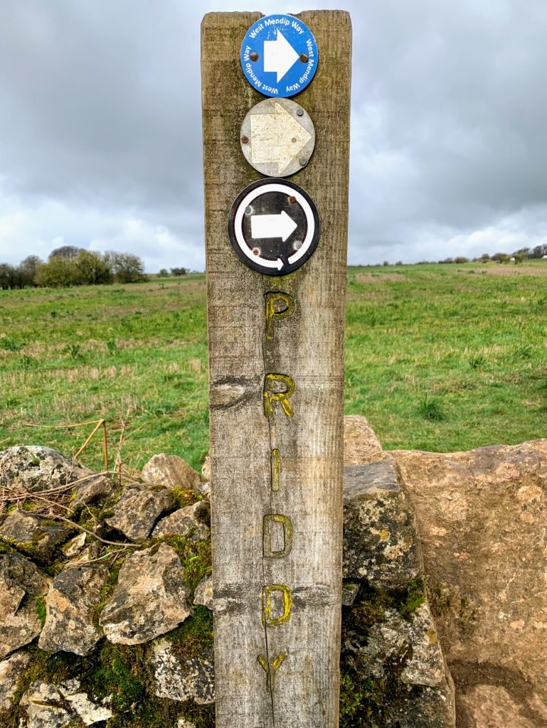
This walk starts at the Bishop’s Palace in Wells and heads up the hill through Tor Hill Woods, a national trust owned woodland. The path takes you pretty rapidly to the top of the hill and out into surprisingly wide open spaces.

One thing that caught my eye was a boundary wall made of very large blocks of stone. I presume these came from the nearby (disused) Torhill Quarry. It certainly made for an unusual sight, although my photo above doesn’t really do it justice.

The path next passes through King’s Castle Woods. The woods are named after the iron age hill fort that resides withing them. More than just a fort, there seems to have been a larger settlement here. The remains of ancient field walls are fairly obvious as you pass out of the woods and onto the Lyatt. According to wikipedia, it has never been excavated and relatively little is known about it, although Lidar images show three enclosures along with the field system. There is speculation that it was a precursor to the city of Wells itself.

The path then passes on to the wonderfully named Furzy Sleight. According to The A-Z of Yeovil’s History the word sleight derives from the Old English slœget meaning a sheep pasture . Furzy presumably simply means covered with furze (or gorse), though it wasn’t so covered today.

It wasn’t sheep that concerned me today, but cows. In the distance I could see a large herd, so decided to walk along the edge of the sleight rather than follow the path through the middle of them. Fortunately, this also brought me to the Furzy Sleight Pillbox, which I otherwise might have missed. This, of course, is evidence of more recent history. This pill-box was part of the “stop-line green”, one of 50 defensive lines built to defend against the expected German invasion in World War II. This line was part of the defenses of Bristol, and you can see where it ran on Google Maps.

I negotiated the cows without too much trouble, although there were a number of bulls amongst the herd. Fortunately, they had other things than me on their minds, although it did make my heart beat slightly faster! The Mendip Way then passes along Sleight Lane and across the fields to the point of West Lane where I joined it in Walk 1. I then walked down West Lane and into Croscombe. My original plan was to walk back up the hills on the other side and return to Wells via Dulcote Hill. However, I had a change of heart and decide to head back through the valley via Dinder.

Dinder is an impossibly quaint village. I cannot imagine how anyone can afford to live there. There are many beautiful and interesting buildings, but the one that particularly caught my imagination was the vine covered house above. It looks to me like something from Annihilation – the house and tree are so symbiotically linked. I guess it will look very different in the summer.

The walk back from Dinder to Wells is a pleasant stroll along easy paths through the fields. I made good time and was pleased with how much energy I still had left. I am definitely getting fitter. Along the way was another pill box, presumably part of the same defensive line as the previous one. The views out across the levels would probably be stunning on a less hazy day than today. Before long, I was back where I started and was heading back to the car for the drive home.

Today was another really enjoyable walk – and for a change, not too hilly either. So far, I have walked from Priddy to Shepton Mallet along the Mendip Way, and my planned walks have worked really well. Can’t wait for the next one!

Distance: 8.0 miles

Mendip Way Circular #3

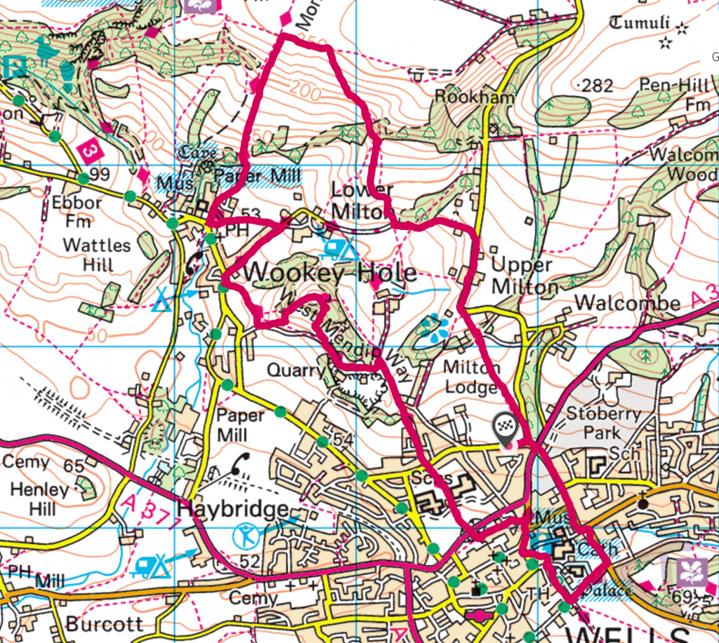
I took advantage of a warm and sunny afternoon to do another of my Mendip Way Circular walks – the third one I have done, but number 9 in the sequence. The walk begins and ends in Wells, climbing up and down the Mendip hills before rejoining the Mendip Way at Wookey Hole.

The first part of the ascent out of Wells is relatively gentle and takes you through the gardens of Milton Lodge. The views over Wells would be spectacular on a bright and clear day. Today, however, there was quite a thick haze. While this means that details are obscured, it adds to the mysterious feel of the landscape.
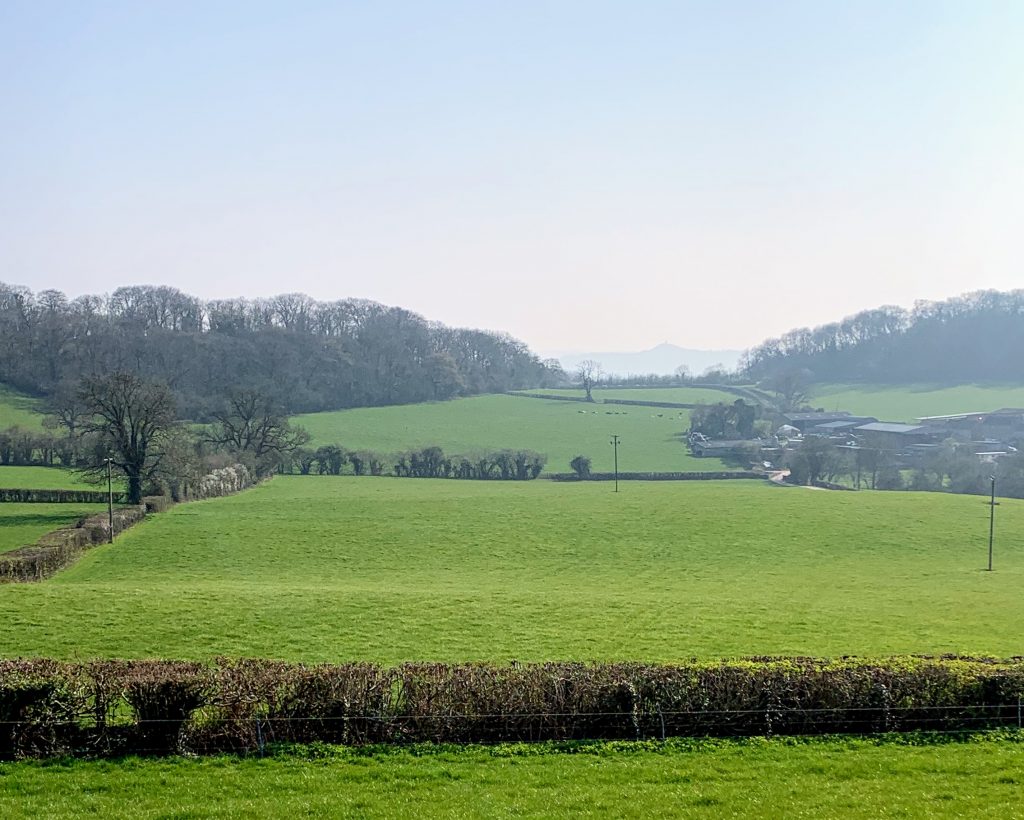
After that initial climb, and knowing how steep the final ascent would be, it was a little disconcerting that the road descended sharply. It did lead to some very pretty views across the very spring-like green fields to a somewhat greyed-out Glastonbury.

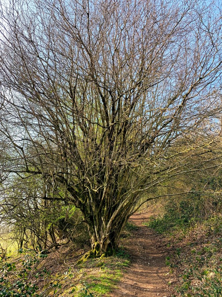
From then on the hill was much steeper. Much like on the last walk, I struggled and got very hot and sweaty. Passing under the tree in the picture above, I met two hikers coming down the hill. They were dressed in full on hiking gear, including hats and coats. We are all so different.

In fact the climb was less steep than in the previous walk and after a couple of recovery pauses I soon reached the top. The view from here is amazing and well worth the climb. As already mentioned, the haze reduced the detail and distance but it was still beautiful.
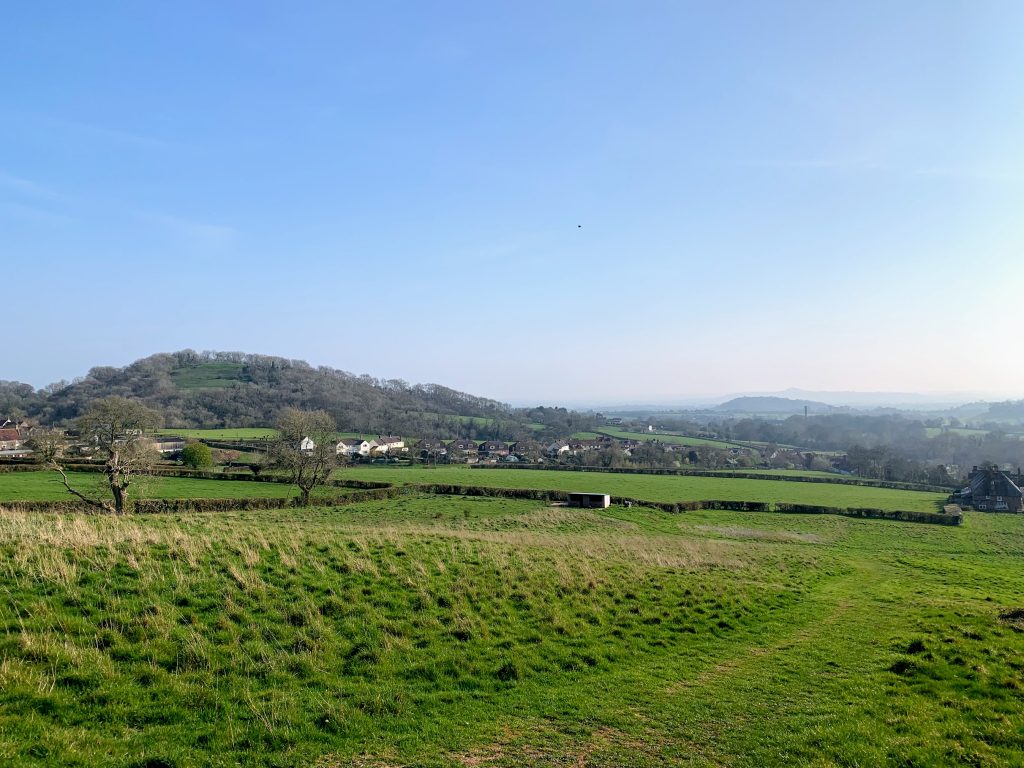
My walk then descended the slope that I struggled so much to climb in the my last walk. And boy, it really is steep. It was hard on the legs even going down. Just like last time, I was passed (three times!) by a runner – carrying ballast. Amazing. Near the bottom, the view opens up nicely and I could see my next destination – Arthur’s Point. I wasn’t sure I really wanted to climb another hill, but it’s only a small one (the 3450th tallest in England…).

Clearly the name Arthur’s Point is interesting! I am not sure what modern scholarship would say, but there is a facinating letter in the Wells Journal which discusses the name. It is a wonderful vantage point, and I am sure it would indeed have been useful for reconnaisance. Quite how it came to have Arthur’s name attached we will never know of course.

If we accept King Arthur (as all true Somersetshire men would gladly do) then let us associate the Point with his glorious name and deeds; if not we can fall back upon what seems to be the historic truth, that there was a great British leader named Arthur, who would probably guard the western coasts from invading Northmen, and select a site so suitable for his military observations as Arthur’s Point.

Wells Journal – Thursday 15 October 1896
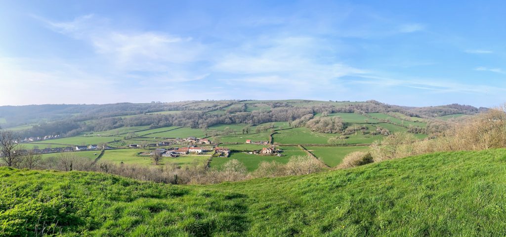
These days the trees rather block the view towards Glastonbury and the ‘western coasts’, but it is a marvellous place to stop for a snack and admire the view back towards the hills. I could trace out almost the whole of my walk so far.

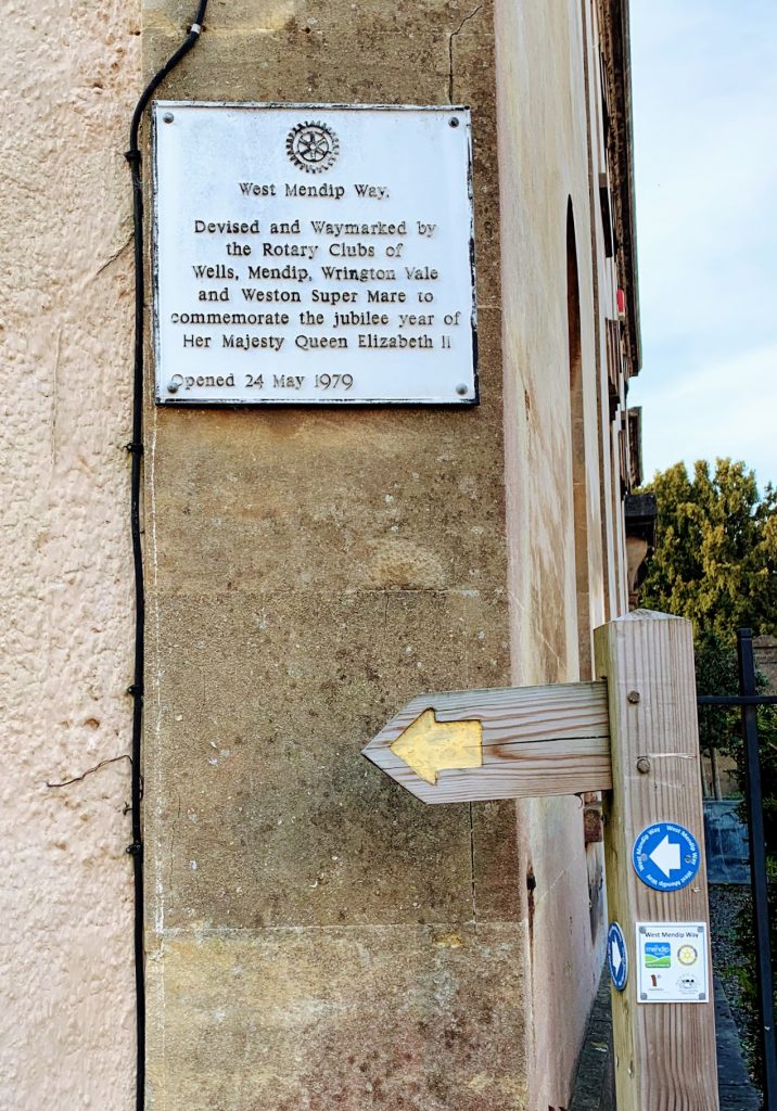
The path from Arthur’s Point back down into Wells is pleasant, but unremarkable. When I used to do this walk many years ago it was possible to see down into the depths of Underwood Quarry, but these days (very sensibly) you can’t get so close to the edge. The path also passes directly through the grounds of the Blue School, which would be interesting on a school day! There is a plaque in Wells to mark the start of the West Mendip Way. I am very grateful to the various Rotary Clubs involved.

My day ended with a stroll around the incredibly impressive Wells Cathedral and the nearby Bishop’s Palace. These are obviously well worth a visit. I am particularly enamoured of the clock. Wells is also a great city for pubs (and I should know, I once did a pub crawl of all 11). On another occasion I would have popped into the White Hart, but today I had forgotten my wallet!

Distance: 6.4 miles

Mendip Way Circular #2

I had a free morning today. I’d taken leave from work to finish an essay, but made much more progress over the weekend than I planned. So what better reward than a stroll along The Mendip Way. I chose to walk from Priddy, since for some reason I’ve never been and it felt like time to put that right.

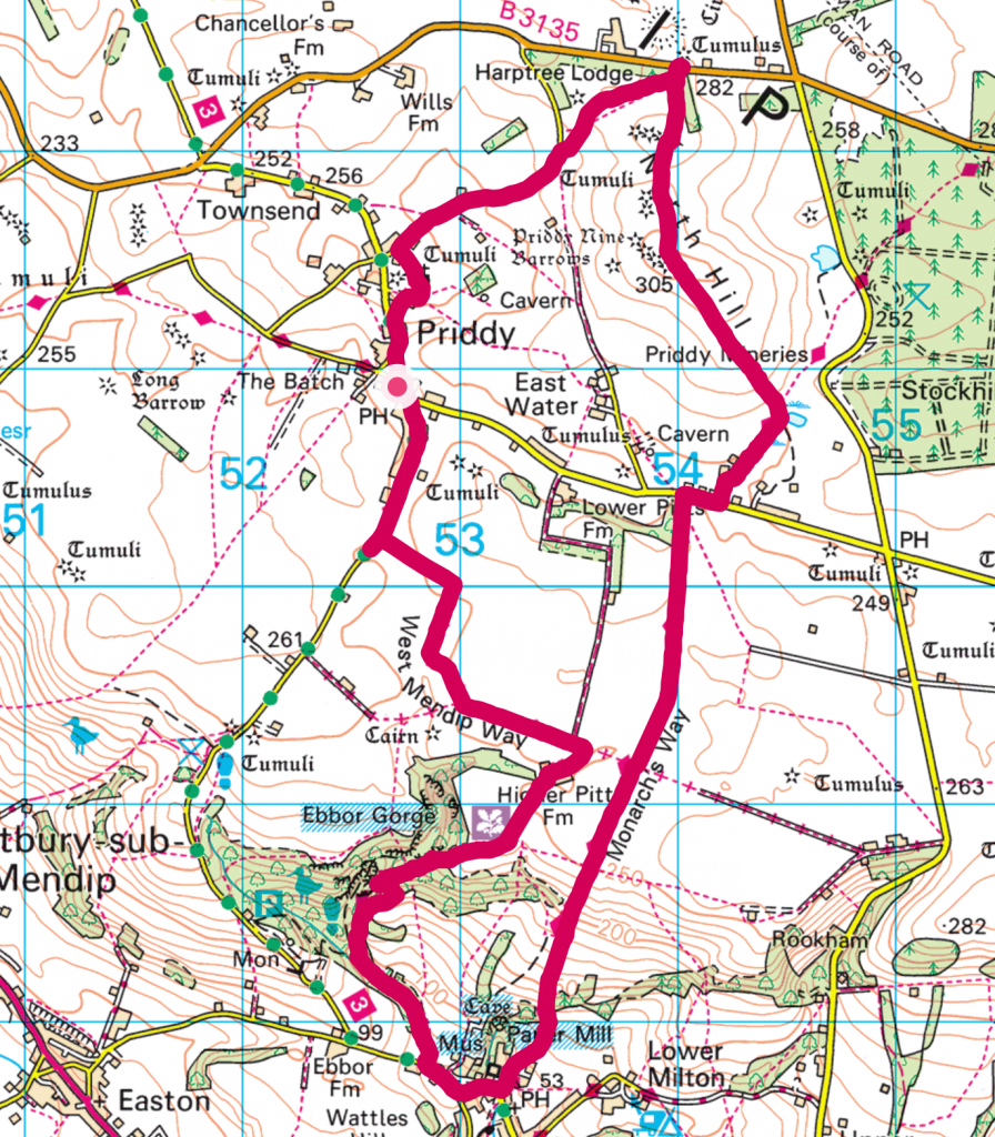
The plan was to start by following the West Mendip Way down through Ebbor Gorge to Wookey Hole. Next was a steep climb back up the hill along the Monarch’s Way followed by a much gentler climb up North Hill to take in the Priddy Nine Barrows. The weather was not great, a chilly wind and rain, but bearable.

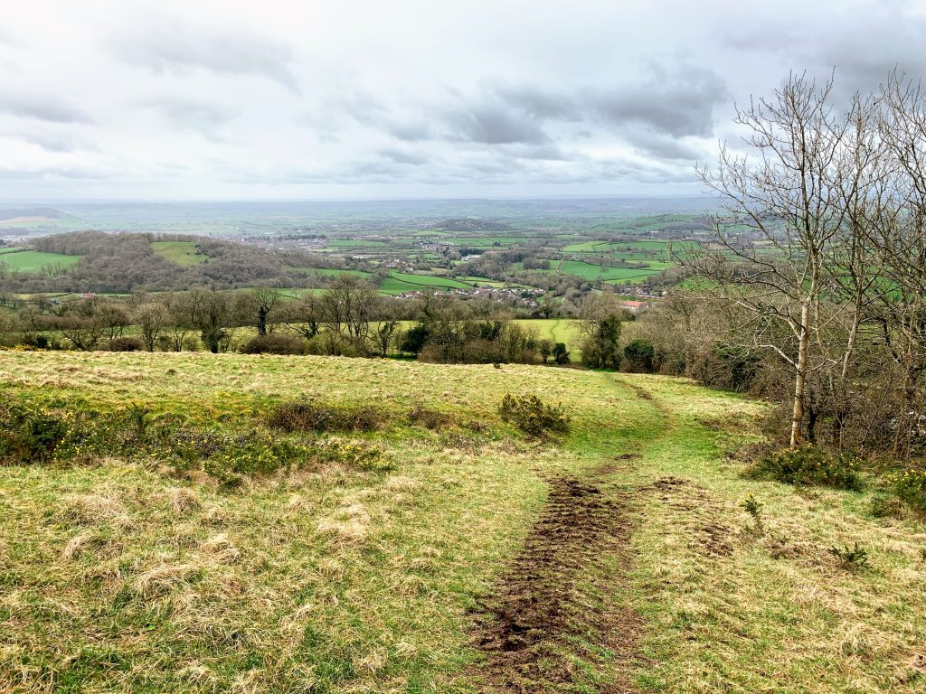
I parked up outside the Old New Inn (re-opening this year) and picked up the Mendip Way as it passed through Priddy. The start of this walk is well way marked, and is an easy stroll through the fields. The views across Somerset towards Glastonbury Tor are amazing and I really must come back in better conditions.

The Mendip Way runs for a short period along Dursdon Drove. It seems to be pretty well used by both walkers and vehicles, presumably because it provides access to Higher Pitts Farm. It is a pleasant walk inbetween the verdant green moss covered dry stone walls.

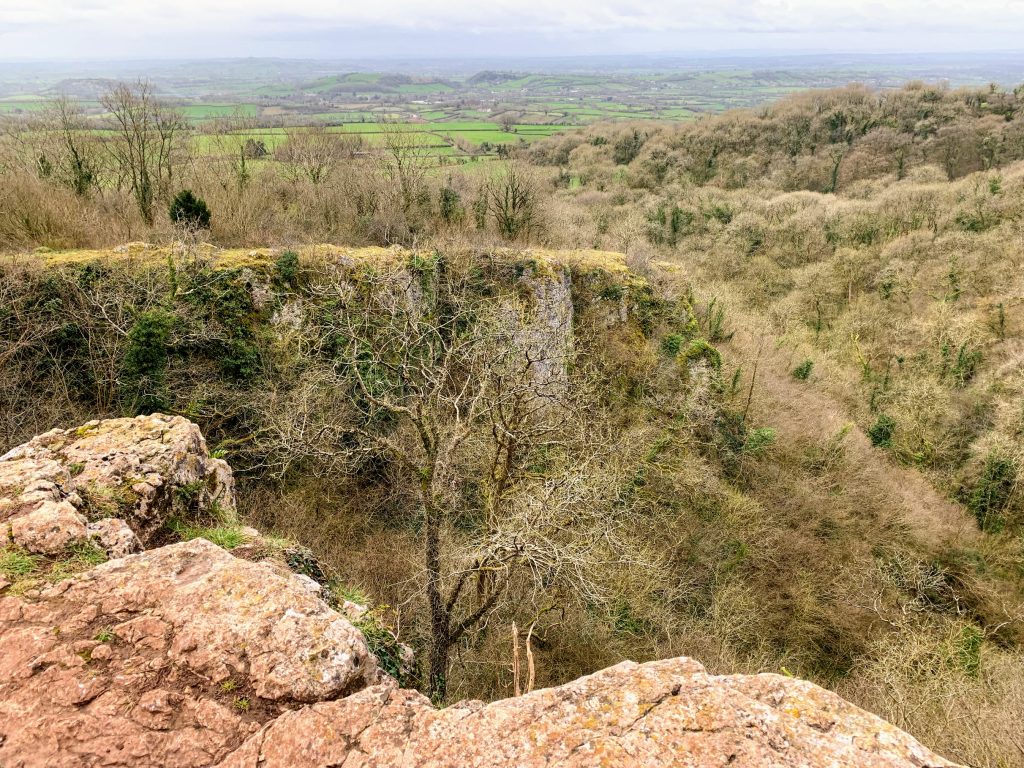
Everything gets a touch more dramatic as the path descends into Ebbor Woods. The rain and wind picked up at this point too. A helpful sign warned off a “Cliff ahead”. A warning we should all take seriously. And sure enough, there really was a big cliff. Stood near the edge in the wind and rain, the stone slightly slippery underfoot, I felt both awed and slightly quesy! It is a stunning place.

I guess it is not Mendip’s most dramatic gorge (Cheddar), but the surrounding woods make it a very different place. I realise I keep saying this in these blogs, but I will be back. It would be interesting to wander through at ground level. There followed a very steep and muddy descent, and the mud got much worse at the bottom. I was coated almost up to my knees, which rather changed my view about whether I was going to visit the pub at Priddy at the end!

There is not much to say about Wookey Hole. The Wookey Hole Caves attraction was very quiet, perhaps not open. I passed their resident Reindeer on the way up the hill, I guess they have a quiet life outside of Christmas. I used to regularly frequent the Wookey Hole Inn when I worked nearby (including an infamous afternoon session on a lethal beer called Fruit Bat – far too easy to drink for it’s strength!) but it was too early today and I was too muddy.

There is something to say about the walk back up the hill, however. I was right to be worried on the way down – it was very steep and very long. Steep hills expose my underlying lack of fitness and i could feel my heart beating very strongly in my chest. I genuinely wasn’t sure I would make it to the top. I was passed by a man running – training for an ultramarathon he told me. Fourth time he’d done the hill today. In a way that made me feel better. This hill is the sort of thing ultramarathon runners do to test themselves. When I *did* reach the top, I was elated. Genuinely. I guess that was the dopamine hit people talk about. The view, as you would expect, was special too.

Even though I was only about half way, I felt I was on the homeward stretch after that. The walking from then on was easy and flat. The countryside around the Priddy Mineries reminds me, a bit anyway, of Dartmoor. The colours and wetness have that feel to them, and the intrerruption of old mine workings is reminiscent too. I even had to jump between divets of grass on a boggy section.

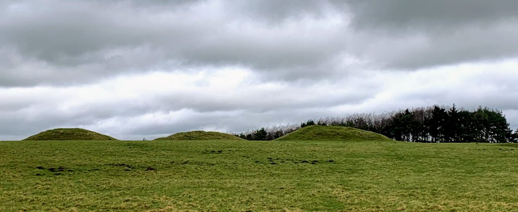
This feeling is further enhanced by the presence of Bronze Age monuments. Priddy Nine Barrows and the Ashton Hill Tumuli are a spectacular group of ancient burial mounds. I struggled to take a good picture. You really need to be there surrounded by them. They are not dramatic like Stanton Drew circle, but they are a stark reminder of our history and how little we really understand of the past. Definitely worth a visit. Priddy Circles, however, have lost whatever glory they once had. It is almost impossible to make anything out on the ground now. Presumably this bleak, barren, windy spot was once a significant place. Folklore has it, by the way, that one of the barrows contains a gold coffin.

It was now just a short walk along Nine Barrows Lane back to Priddy. I took a brief detour to visit the church, but it didn’t seem to be open. As I mentioned, I felt too muddy to visit the pub on this occasion. So there is at least one reason to go back! But there are plenty more. A very beautiful part of the world.

Distance: 8.3 miles

Station to Station: Freshford to Avoncliff

That rarest of rare things – an afternoon without the kids. A beautiful crisp sunny February afternoon at that. So what could be better than a short stroll along the canal? A short stroll along the canal that also takes in two stations – that’s what!

This was intended to be a longer walk, but we started a bit later than planned. Oh yes, we. On this occasion I was walking with my wife – something we don’t get the opportunity to do on our own very often. Walking with the kids is fun too, but this was a proper treat.

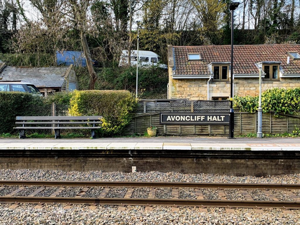
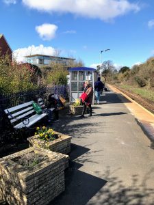
We parked up at Avoncliff Station – kinda. We tucked in on a verge alongside the narrow road some distance from the station in fact. Avoncliff is a tiny station, that well deserves its original title of Avoncliff Halt. Judging from how full the car park is it is a popular place for starting a walk . We caught the train to Freshford, a 3 minute journey.

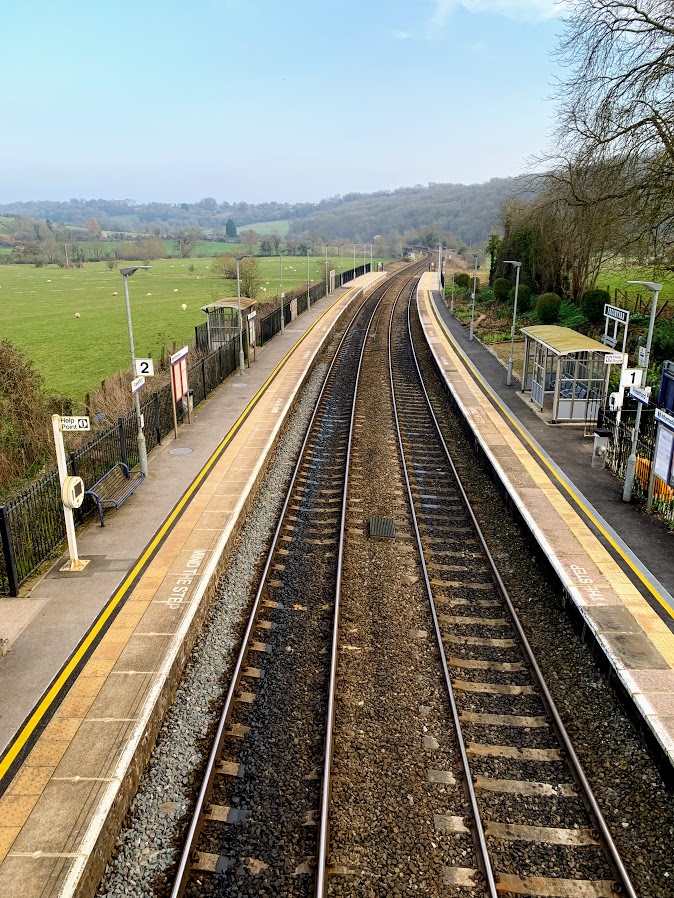
Freshford is an altogether different affair, the long sweeping platforms seem vast after the diminutive Avoncliff. But it is still pretty. There is a garden that for years was maintained by the Vaisey sisters, daughters of the village doctor. When it was restored by local villagers in 2007, Network Rail reportedly swept in and chopped it all down! It was looking pleasant when we were there, so I suppose it has now been re-restored. You can read about the incident here: https://www.independent.co.uk/voices/columnists/miles-kington/miles-kington-the-railway-station-garden-that-set-a-rival-village-apart-464377.html

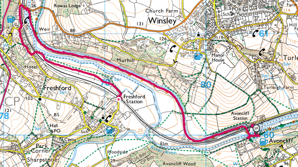
We then walked through the fields, crossing under the railway line at Limpley Stoke. This was the decision point. The original plan was to walk up the hill and through the woods to Monkton Combe before heading down to Dundas Aqueduct. But time was already ticking on, so instead we crossed the Avon via the road bridge and joined the Kennet & Avon Canal.

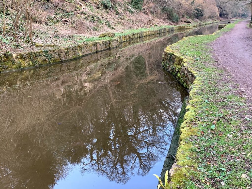
The walk back along the canal was perfectly peaceful – apart from the occasional interruption from the trains. It was, as all walks along canals are, easy going. Other than that, there isn’t actually much to say about it. We walked past a sign describing the history of Murhill Wharf and Tramway, where stone was transported from the nearby quarry. There are apparently some GWR remnants to be seen, but we missed them this time.

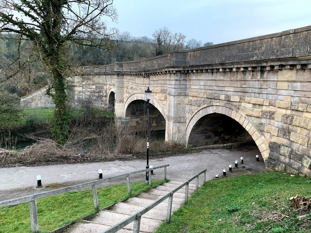
Before long we were back at Avoncliff, walking over the impressive aqueduct. If you look carefully, you can see that the central section has a pronounced sag. This happened shortly after the aqueduct was completed in 1801, and it has had to be repaired many times since.

All walks that end at a pub are worth doing, and this one was no exception. It says something about the peculiarity of the weather at the moment, that we sat outside with our drinks. In February. In our coats, of course, but even so. A perfect end to a pleasant walk.

Mendip Way Circular #1

This year I have decided to explore The Mendips since they are right on my doorstep. I spend a fair bit of time driving through and over them, but haven’t spent any time exploring on foot for years. To this end, I have planned a series of 17 Circular walks of between 6 and 9 miles (ish) which cover the whole of The Mendip Way.
The Mendip Way runs almost 50 miles from Uphill, near Weston-super-Mare, to Frome. It is divided into the West and East Mendip Ways, with the join in Wells. It seems a pretty good way to see a good range of what The Mendips has to offer. There is lots more information here http://www.mendiphillsaonb.org.uk/walks/

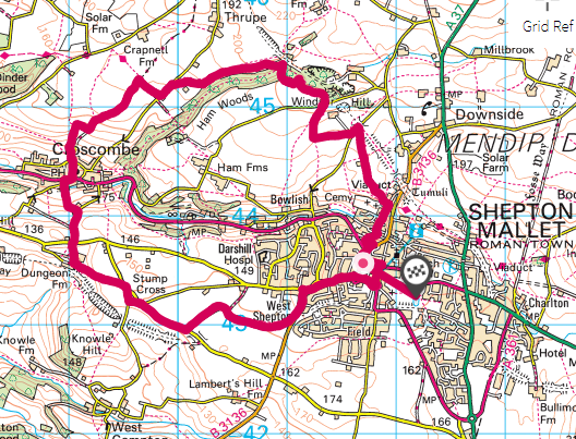
I’m not going to do my walks in order, and this first one is actually #12 in the series. It starts and ends in Shepton Mallet, which makes parking easy. The walk starts by heading west out of Shepton to pick up a footpath alongside the old Wells and Witham branch of the East Somerset Railway. There is a wealth of impressive old railway infrastructure in this part of the world (of more later) and here the remains of the road bridge and the route of the trackbed are obvious.

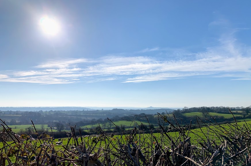
The route is then via the wonderfully named Dungeon Lane and Dungeon Farm. I’m nervous when a footpath leads through a farm, and today I could hear dogs barking in the distance. I needn’t have worried though, the farm seemed deserted and the route up the hill was clear. The view from the top was worth the effort of the climb – showing off this part of Somerset particularly well on a crisp February afternoon.

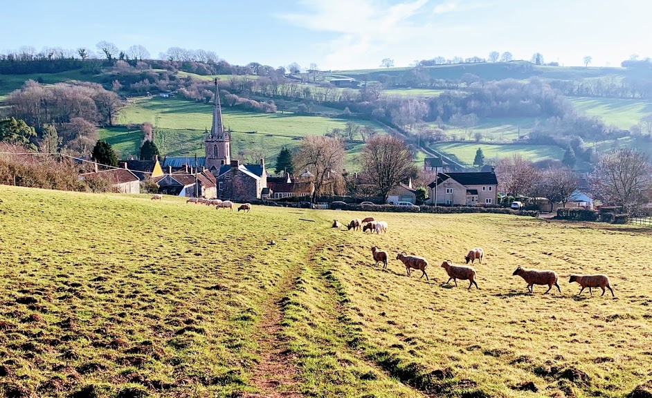
Next was a steep drop down to Croscombe. I avoided the temptation of the pub on this occasion (only because I had started a lot later in the day than intended) and headed straight up the hill on the other side. After the steep drop, I was anticipating a steep climb and I certainly got one. A reminder that I have a long way to go with my fitness! I also had to negotiate a field full of angry, aggressive, large horned sheep. Sheep usually move out of the way, so I was surprised when they all ran towards me, bleating loudly and stamping their hooves. I took a circuitous route which seemed to satisfy them.

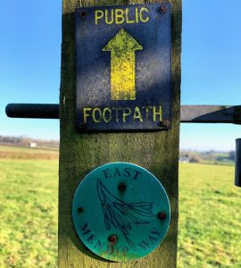
From the top of the hill, it was a quick jaunt along West Lane before finally picking up the East Mendip Way. This part of the Mendip Way takes you across fields and farmland towards Ham Woods, and is very pleasant walking. It is well waymarked and I could put the map away and just follow the signs.

I was looking forward to Ham Woods, not least because of the tantalising word “Viaduct” on the map. I was not disappointed. The woods themselves were very atmospheric, full of winding, ancient looking, moss covered trees. And then the viaduct appeared, the sun came out and everything was simply stunning. The viaduct used to carry the Somerset & Dorset railway over this secluded valley – it probably has one of those SAD numbers that I had started to collect previously, but I couldn’t get close enough to see. There are other footpaths which lead close to the top. I will definitely be back.

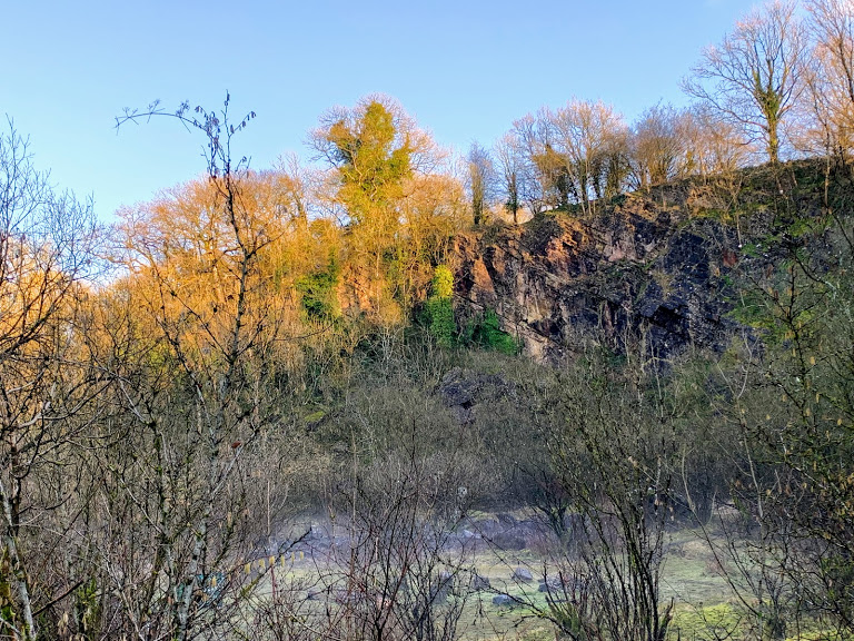
Ham Woods was not done with me yet, though. The path meanders through the woods, over some steep banks which required proper scrambling. This part of the Mendip Way is not “accessible”. The effort was really rewarded by Ham Wood Quarry. It suddenly got cold, there was crunchy frost underfoot and really eerie mist rising from the ground. I think I caught it at exactly the right moment. The dying sun peeking over the top of the cliffs and waking the ground. It was beautiful, and my photo does not do it any justice at all.

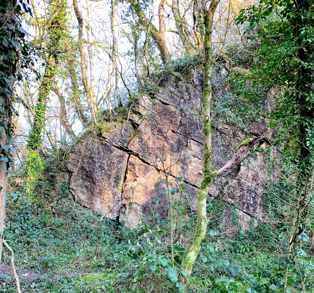
This was also my first encounter with the famous Mendip geology, as you can see in the top right of my photo of the quarry and the one directly above. I know very little about geology, so I’ve bought myself a couple of books on the area to educate myself. I believe this is Downside Stone, but I may be entirely wrong!

The walk from here, after ascending some steep steps to the top of the quarry, drops gently down across the fields and through the lanes back into Shepton Mallet. There are some more examples of disused railway infrastructure, although on this route you don’t get to see the other two even more impressive viaducts. All in all, this was a fantastic start to my Mendip adventures. I can thoroughly recommend this section of the Mendip Way.

Station to Station: Thornford to Yetminster

A quick jaunt after work on a pleasant winters day, taking in two small Dorset request stop stations, a pub and (a new obsession) a place called Beer.

I started by catching the train at Castle Cary to Thornford. I knew I had to ask the guard to let me off at Thornford, but I struggled to get any of the train staffs attention. It turned out this was because they were discussing a man who had left the train at Castle Cary – after urinating out of the train doors. Alcohol can be a bad thing!

I was not the only request stopper at Thornford, which was not a complete surprise. According to the usage figures there are roughly 10 entries and/or exits a day (3,448 a year). It would be a very nice place to live and commute from, and I suspect that was the reason for my fellow traveller’s departure.
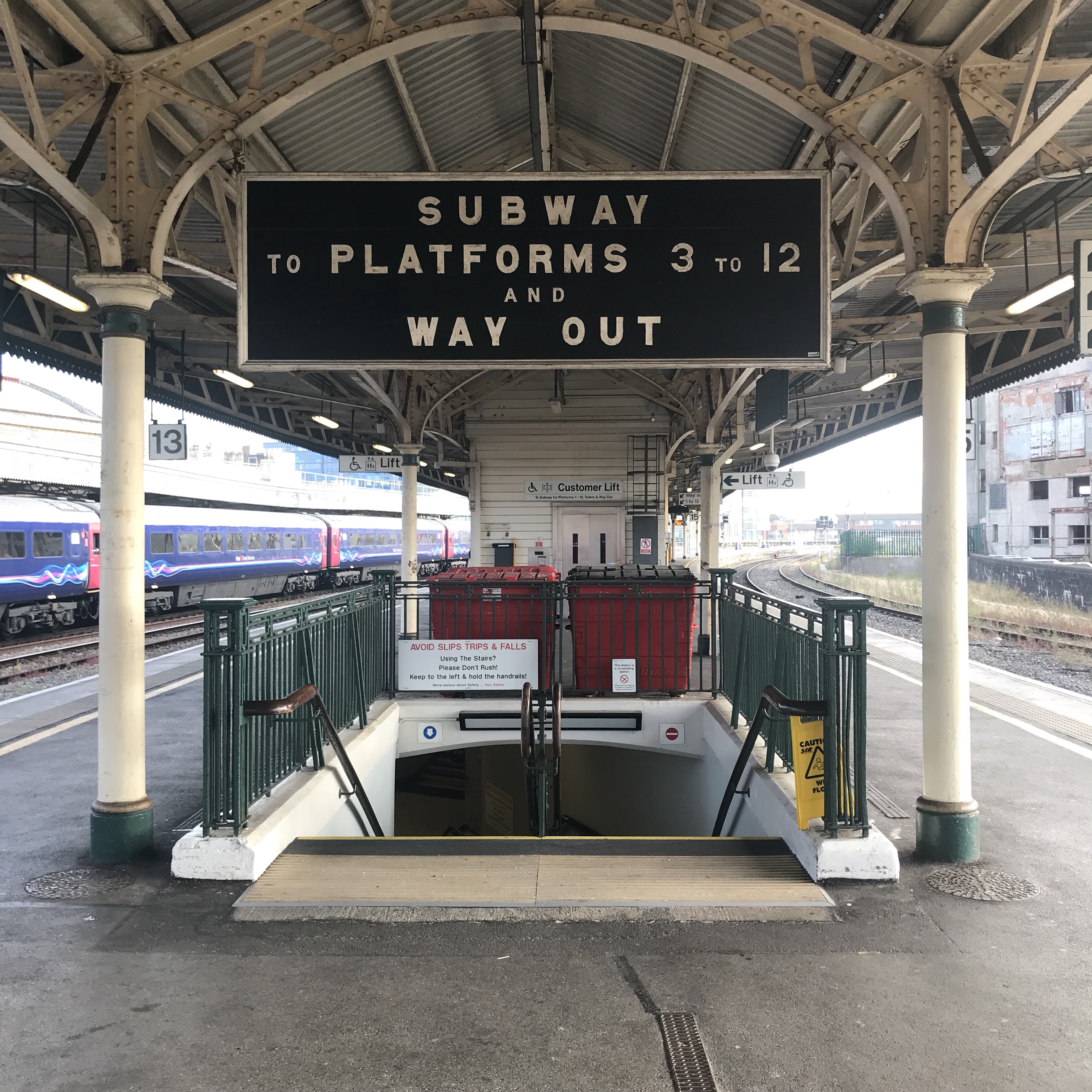
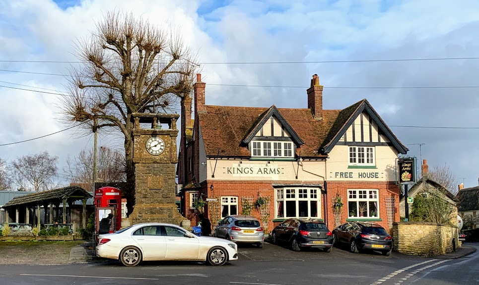
The station is about a mile from the village itself, but there is a dedicated footpath and it is a very simple walk. I only saw a small section of the village, so any judgement I make about it would be unfair. I’ll still do it though. There were lots of Range Rovers and even a Maserati. I doubt there is much affordable housing. But it was very pretty, and the pub (The Kings Arms) was very good. I had a tasty pint of Dorset Rogue by Piddle Brewery.

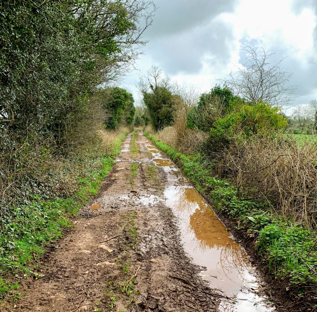
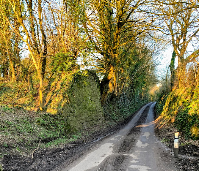
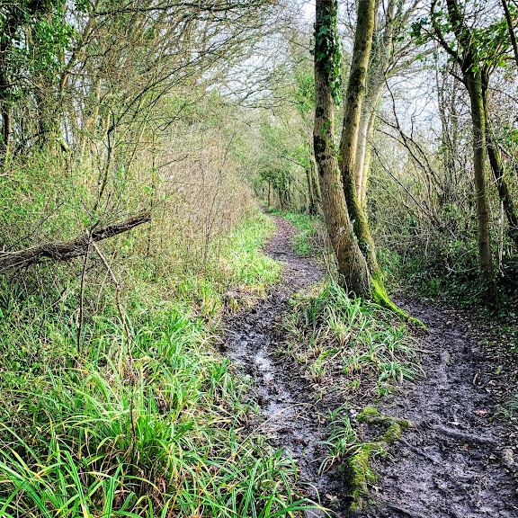
My next port of call was Beer Hackett. The route there was via two connected lanes – Horsepool Lane and Claypits Lane. I love walking along tree lined lanes like this. It is easy to imagine people tramping along them for generations, essentially unchanged now from then. Even though many modern roads follow traditional routes, they have lost that feeling. On this particular day, however, it was very soggy underfoot and the benefits of modern metalled roads were obvious.

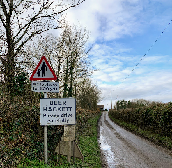
The lanes eventually lead me back to the road, just outside the village of Beer Hackett. Me being me, I immediately started wondering how many places there are called “Beer” and can I visit them all? I don’t know the answers to these questions – but expect occasional pictures of signs as I add to my collection!

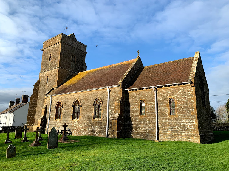
I didn’t hang around long in Beer Hackett, but I did visit the churchyard. The sun had come out, and the church looked splendid. I had to hurry on to catch the train, so I didn’t explore inside. Something for another day.

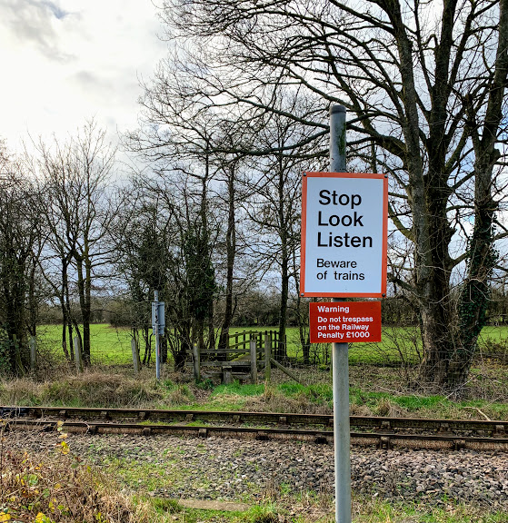
The footpath from Beer Hackett to Yetminster crosses the railway line. I am always childishly excited at these crossings. On this occasion, I could be fairly certain there would not be any trains – the next one due would be the one I was on. Nevertheless, I sense a certain very low level danger when actually stepping over the rails, which is crazy!

I arrived at Yetminster with no time left to explore the intriguing looking antiques shop and cafe near the station, let alone time to venture into the village or find the pub. I am planning a walk from Chetnole to Yetminster, so hopefully I may have more opportunity next time. I did get to hear the distinctive chime of the church clock. Every three hours, it plays the national anthem!

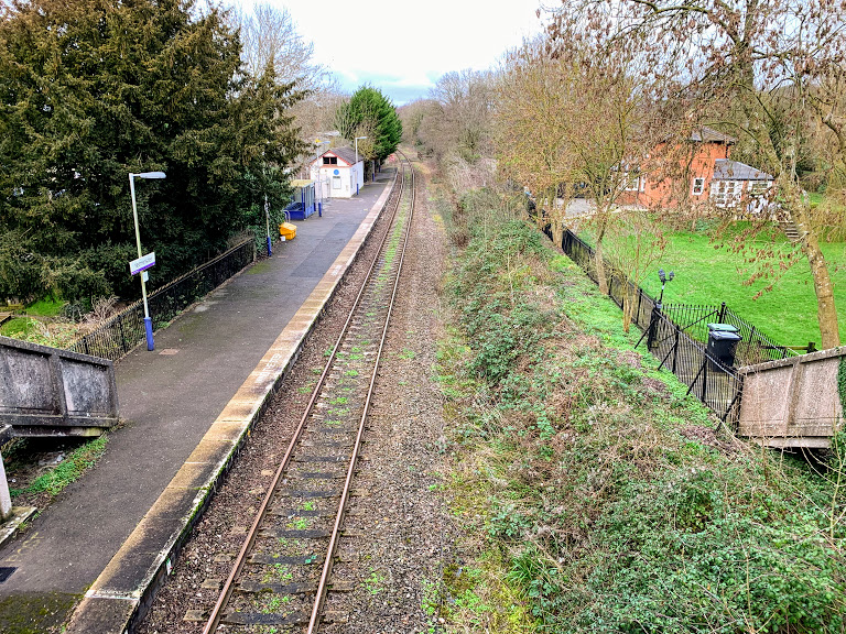
Yetminster station itself is small and lacking in facilities, but was clearly larger in the past. I don’t know when the second platform closed, nor the enormous derelict Railway Inn right beside the platform. I rather like the concrete stairways down to the platform from the road. Yetminster is another request stop, twice as well used as Thornford. Yet again, I was not alone in signalling clearly to the driver.

All in all, a very pleasant walk, although I wish I had not dawdled so much at the beginning to give me more time in Yetminster.

Station to Station: Lawrence Hill to Bristol Temple Meads

A quick post this morning while waiting for a train in Bristol. I arrived at Temple Meads way earlier than I needed to so decided I might as well visit a station I’ve not been to before. The nearest one is Lawrence Hill, so I bought a ticket and hopped on the early train to Cardiff.

The trip to Lawrence Hill is only a few minutes. The train was fairly busy – presumably mostly with commuters. A few got on at Lawrence Hill, but I think I was the only one to get off. There isn’t much to say about the station itself. It sits in a cutting nestled below the A420. Two platforms, basic facilities. Exactly what’s needed in a location like this.

The walk back is about a mile, and is mostly along the Bristol and Bath cycle path. It was busy with bikes so wits need to be kept! Honestly, the walk is not hugely picturesque or anything like that, although the Railway Passage murals are worth a look.

So now I’m back at Temple Meads – still with over an hour before my train!

Studying Study and Researching Research

A Hole

A recent existential crisis (which I am, of course, deliberately overstating for effect) prompted me to wonder “What is missing from my life?” After much agonised introspection, it turns out that the answer for me is “study”. I have an academic mindset and when I am not engaged in studying and researching I grow bored and restless. It also seems that, for me to really engage, there needs to be something at stake. It is not enough for me to just be studying for interest – I need some pressure and deadlines!

In my younger days I studied Mathematics, got a first in my BSc and went on to study for a PhD. For reasons I wont go in to here, I didn’t get my doctorate. Although I don’t regret the decisions I made at the time (I got a good job and have gone on to have a satisfying career without it) it does niggle. I have a personal goal to put it right.

I have recently finished a BA in Humanites with Philosophy with the Open University. This started out as an attempt to broaden my thinking and move away from Mathematics and Engineering. It worked. Although Pure Mathematics will always be my first love, these days I consider myself more a Philosopher than a Mathematician.

Stop Finding Reasons Why Not

After I finished my OU degree, I was sure that I could never do any more study. I had found making the time was getting increasingly difficult and stressful – with a growing family and a stressful job. Moreover, OU courses are now *way* more expensive than they were when I started. I don’t know that I would ever have started if they cost what they do now.

I was set in this thought: there is no way I can find the time or the money to do any more study, so don’t even think about it. But I had to think about. It sounds absurd, but studying feels like my calling. So instead of finding reasons why not, I started looking for ways to break down the barriers.

Financially – there are options. I am (I think) eligible for postgraduate loans that can cover the course fees. Even if not, I am sufficiently financially stable that other loans can be considered. For now, I have decided to worry about this aspect later since solutions exist.

The harder problem is time. I sat down and tried to work out how to carve out the 16-18 hours that the OU suggest is required. Anyone who knows me wont be surprised to know I made a spreadsheet to help…  I quickly realised this was not going to be possible without making some changes to my working pattern. I nervously broached the idea of working Compressed Hours at work – freeing up a day a week by working longer hours on other days. To my amazement, they not only agreed but couldn’t be more supportive.  I only have an informal arrangement at the moment, and am trialling this pattern for a period to make sure it works for both of us.

Giant Leaps or Small Steps

So now I know it’s possible. The next question is what to study – both subject and level. Given my goal of achieving a PhD, should I keep my eyes on the prize and try to jump straight into postgraduate research?

I have struggled to make this decision, swinging wildly between ambition and caution. In the end, I have decided to study for a Master’s degree first. While this puts off the end goal by a couple of years (and adds many thousands of pounds to the total cost!)  it nevertheless addresses the immediate hole in my life and that is what started this whole darn thing off in the first place. It does move me towards my goal – just in smaller steps.

The other consideration is that to put a credible research proposal together for a PhD, I need to have a credible research question in mind. I do not. Although I could probably work something up over the next few months, realistically I am not close enough to the cutting edge of research in any area to do this – nor do I have any contacts, or access to libraries. As long as I keep the prize in mind, I can address all of this while studying my Masters.

The broad topic is obvious to me – I will continue my Philosophy studies. Relearning all my mathematics from 20 years ago would be a struggle (an interesting one of course). However, there are other topics that I find fascinating and would love to incorporate – not least Artificial Intelligence. If I *do* end up studying something around AI, work have hinted there may even be some sponsorship available.

As to mode of study, Distance Learning is the obvious fit for me. I am used to, and enjoy, studying this way having been a student with the Open University for many years. The downside is that, for Masters level study at least, this severely limits my options.

It is possible that I may be able to study Part Time at a local university. There are not many realistic candidates: University of Bristol, University of Bath, University of the West of England, Bath Spa. Of these, only Bristol has a philosophy department in the right sort of area. I plan to contact them for more details,  but I think I would prefer to maintain the flexibility that distance learning brings. Work may well give me the opportunity to build up some relationships with researchers at Bristol, and I have a sneaky eye on studying for my PhD there.

Conclusions

I will study for a Philosophy Masters by distance learning, with an eye to moving on to a PhD afterwards – perhaps ideally at the University of Bristol.

I plan to document my learning and journey on this blog – so stay tuned.

Note - I consider my study as a mental peregrination. If you only want to read my physical peregrinations, ignore posts with the category of Study. Thanks!

Station to Station: Buckenham to Cantley

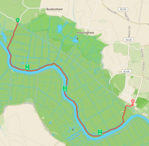
I took the opportunity of a family holiday visiting friends in Norwich to get in a stroll along the River Yare between two stations on the Wherry Line – Buckenham and Cantley.

Buckenham is one of the country’s least used stations – the tenth least used in 2016/17 – with only 122 Entries and Exits. This is partly at least due to its remoteness. There is literally nothing else around. But this is also its appeal. Being right by RSPB Strumpshaw Fen must surely make it a useful stop for birdwatchers? Not being one myself, perhaps there are other better places nearby.

The low usage numbers are not helped by the paucity of services of course – 1 each way on a Saturday, 5 each way on a Sunday and none at all in the week. It is also a request stop. Given all this, I was slightly surprised to find 2 other people got off at the same time as me. One of whom had a swish camera and took pictures of the station sign. There is at least one person as pointlessly obsessed with doing this as me!

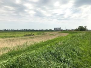
I didn’t have long to hang around at Buckenham since I needed to be sure of catching the train at Cantley. The route is pretty straightforward following an obvious path along the banks of the Yare. It is also stunningly beautiful on a sunny Sunday morning.

I was intrigued by The Beauchamp Arms on the other side of the river. These days there is no easy way to get across, although it seems there used to be a ferry. Now that could make this into an even more appealing walk!

Other than the stunning scenery, the profusion of Azure Damselflies and the pleasantness of the weather there isn’t much more to say about the walk through the Cantley Marshes. It is easygoing  although the heat of this particularly morning sapped my energy faster than I was anticipating.

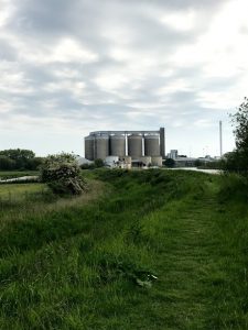
The sugar factory is an impressive human intervention on the landscape. I always enjoy the counterpoint. For a sense of scale, the Reedcutter pub can be seen just beneath the tanks.

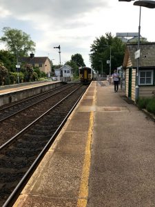
Cantley station is another wonderful small station, although significantly better used than Buckenham, with a correspondingly higher level of service. It also has a traditional manually controlled gate level crossing. The signalman physically leaves the signal box and closes the gates across the road. This is wonderful and feels like a direct connection to a bygone age. I don’t know how much longer this will be here – I presume there must be plans to upgrade the signalling along this line  and the level crossing would probably be a casualty of that – so catch it while you can!

The journey back to Norwich was less pleasant than the journey out – a single carriage train which was full to bursting. Passengers were even turned away at Brundall station. Still, this did not detract from a wonderful morning walk through the Norfolk countryside.

All the Plymouth Stations

Finding myself in Plymouth over the Easter weekend, I took the opportunity to do something I have been wanting to do for ages – embark or disembark at all the stations in Plymouth. These days, in this denuded railway age, there are 6 stations: Plymouth, Devonport, Dockyard, Keyham, St Budeaux Ferry Road and St Budeaux Victoria Road.

Of course, there used to be many more stations in Plymouth. Wikipedia lists 29, although some of these are outside my mental map of what counts as Plymouth. Nevertheless, that leaves ample opportunity to seek out remains and remnants in the future – perhaps following in the footsteps of  Hidden Plymouth. Even in my own lifetime, some very impressive pieces of railway infrastructure have gone – such as the Ford Viaduct which was demolished in the 1980s. In theory, I should remember it but I don’t.

Plymouth to St Budeaux Ferry Road

I started on a Saturday evening by taking a train from Plymouth station itself to St Budeaux Ferry Road. Not many services stop at St Budeaux Ferry Road – 4 a day each way on a weekday, 2 on a Saturday and only 1 on a Sunday. This station is on the main line between Plymouth and Penzance, and the services to and from this station are the stoppers which service this route.

There isn’t much to say about the station itself – 2 platforms, reached by taking the road bridge. This is the least used Plymouth Station – 3976 entries and exits in 2016-17 (so about 11 a day). This is not surprising given the low level of service.

St Budeaux Victoria Road to Devonport

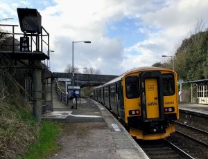
The next day (Easter Sunday itself) I walked along Wolseley road from my in-laws house to the other St Budeaux station – St Budeaux Victoria Road. This is literally across the road from Ferry Road, but is the first stop on the Tamar Valley Line between Plymouth and Gunnislake.

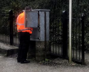
These days the Tamar Valley Line is single track, but there is a long disused second platform here – a remnant of when this formed part of the route into Plymouth from London via Okehampton. The other consequence of the single track running is that the driver has to leave the train here to either pick up or replace a physical token stored in a secure cabinet on the platform. Without the token, the train is not allowed to proceed onto the line.

The journey to Devonport station does not take long. The guard seemed rather surprised by my ticket – yes, I am geeky enough to want a ticket naming each of the stations I visit.

Devonport station was my local station when I lived in Plymouth, but I rarely used it.

Dockyard to Keyham

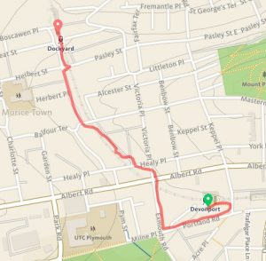
Next step was to stroll between Devonport and Dockyard stations – not a very long walk, but it took me along streets that I haven’t had cause to visit for many many years.

Much to my delight I discovered a new (to me at least) record shop on Albert Road – Dockyard Discs. I will definitely be paying a visit next time I am down.

Dockyard station is the smallest of the Plymouth Stations. It is also a request stop, which is always exciting. Much to my surprise, there was someone else waiting. We both stuck our arms out. The guard by now I think had twigged what I was up to and gave me a wry smile. I got a slightly sarcastic wave  when I got off again about 1 minute later at Keyham!

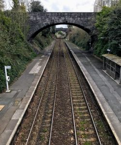
Keyham is a much larger station than seems necessary these days, with two long platforms linked by a substantial footbridge, which leads all the way out via the houses on Admiralty Street. The footbridge passes over what used to be the marshalling yard, which still contains one siding. It looks like it is occasionally used – presumably in relation to the branch in to the dockyard which is just around the corner. There are occasional nuclear waste trains in and out which I would like to catch one of these days.

And that was it! Just a short walk home. All the Plymouth Stations visited (and named tickets stuck in the scrapbook).