This walk is something I have wanted to do for a long time, and at last both my ability and an opportunity have come together. For me there is something special about walking home, from anywhere. I always planned to walk home from work, when my workplace was just about close enough for that to be possible. Indeed, I had vivid dreams about doing so. I never managed it, and now I work far too far away. So I am pleased to realise this particular ambition.
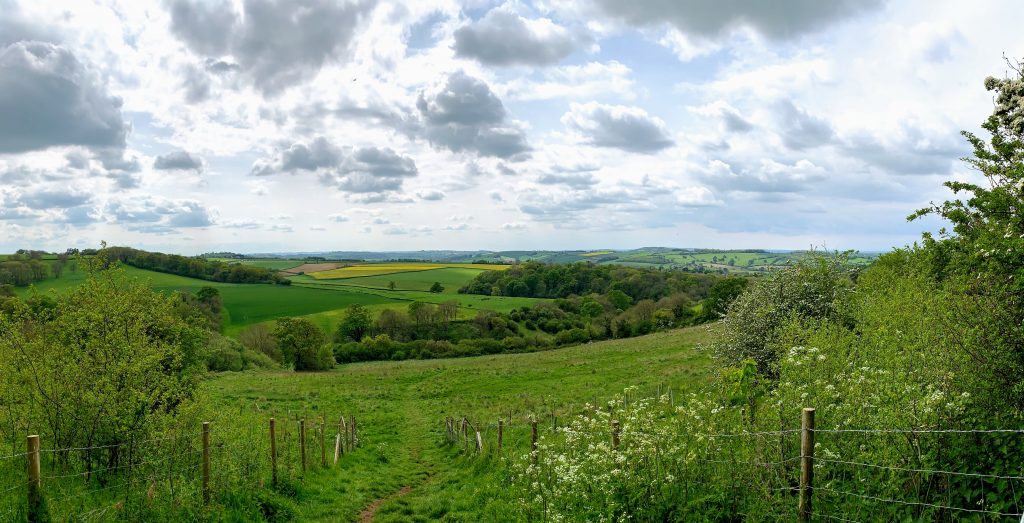
I walked from the outskirts of Bath. This cut out the climb from the city centre and leaves another challenge for another day! The route I chose is a fairly obvious one from a browse of the OS maps – via Englishcombe, Inglesbatch, Priston and Timsbury. The start of my walk, along the edge of Odd Down towards Rush Hill, afforded a beautiful view looking West across the hills and valleys that I would soon be walking through.
The first port of call was Englishcombe, an historic and interesting place. I was looking forward in particular to seeing what remained of Culverhay Castle. The honest answer is not much. The earthworks are clearly visible, but overgrown and it is hard to make anything out, at least when seen from the paths I was walking along. I will be passing this way again, so I’ll check it out from some different angles.
The castle has an interesting history. Built in stages between the 11th and 13th century, it was part of the Gournay estate. It met it’s demise after Thomas de Gournay was indicted for his part in the murder of Edward II and all his estates were confiscated by the crown. This included the other villages in this area called “Gurney”, including for example Farrington Gurney and Barrow Gurney. The castle was razed to the ground and the stones used by Bath Abbey to build the nearby Tithe Barn, a subject for another walk.
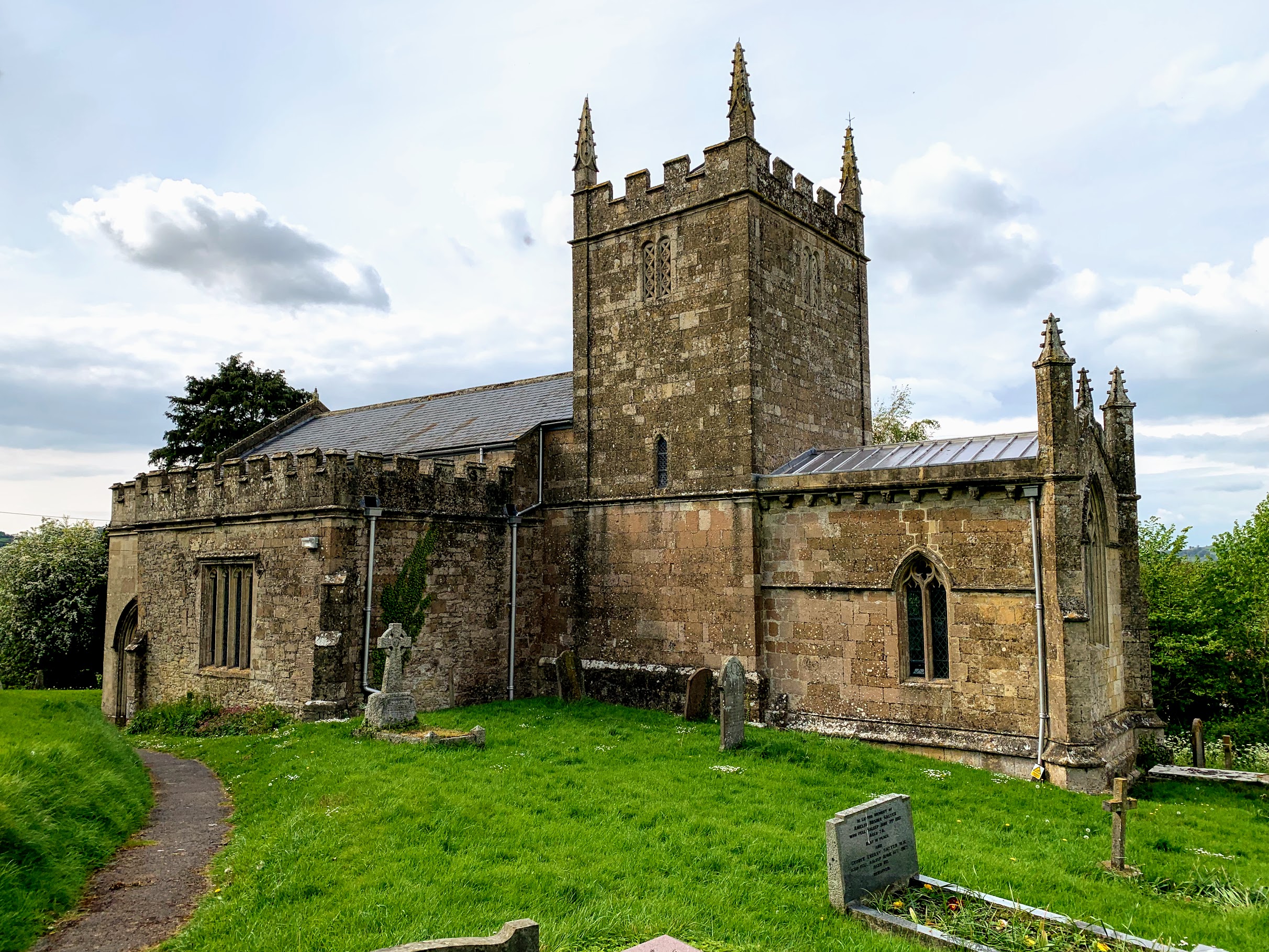
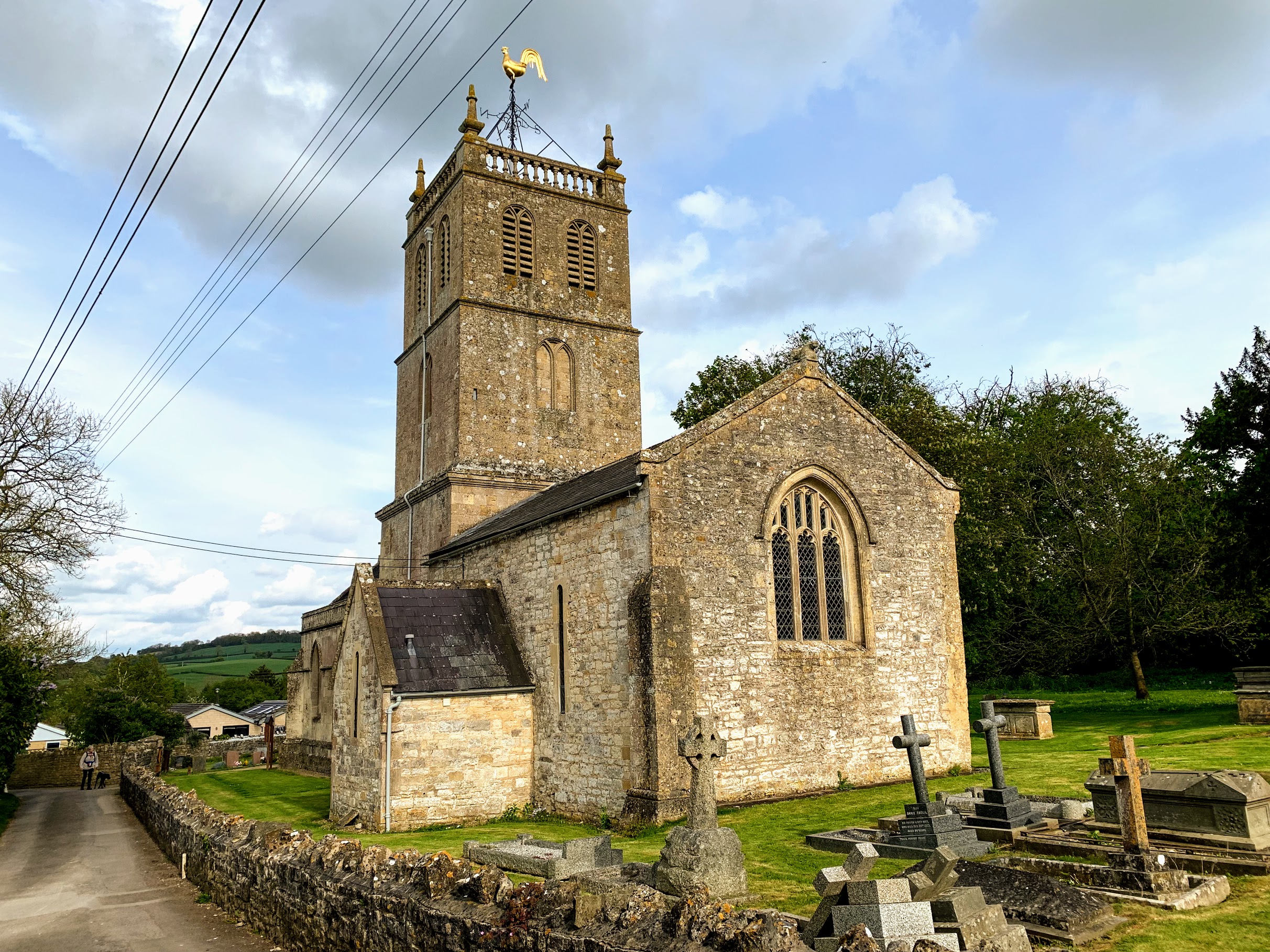
I had also intended to visit Englishcombe church, but it was not open (there was a notice giving numbers to call to gain access). Still, even from the outside, it is a very pleasing building. Pevsner has lots to say about it, but mostly about the inside. Apparently the Tower and part of the chancel are Norman, and indeed Wikipedia says it was built in the 12th Century by Robert de Gournay.
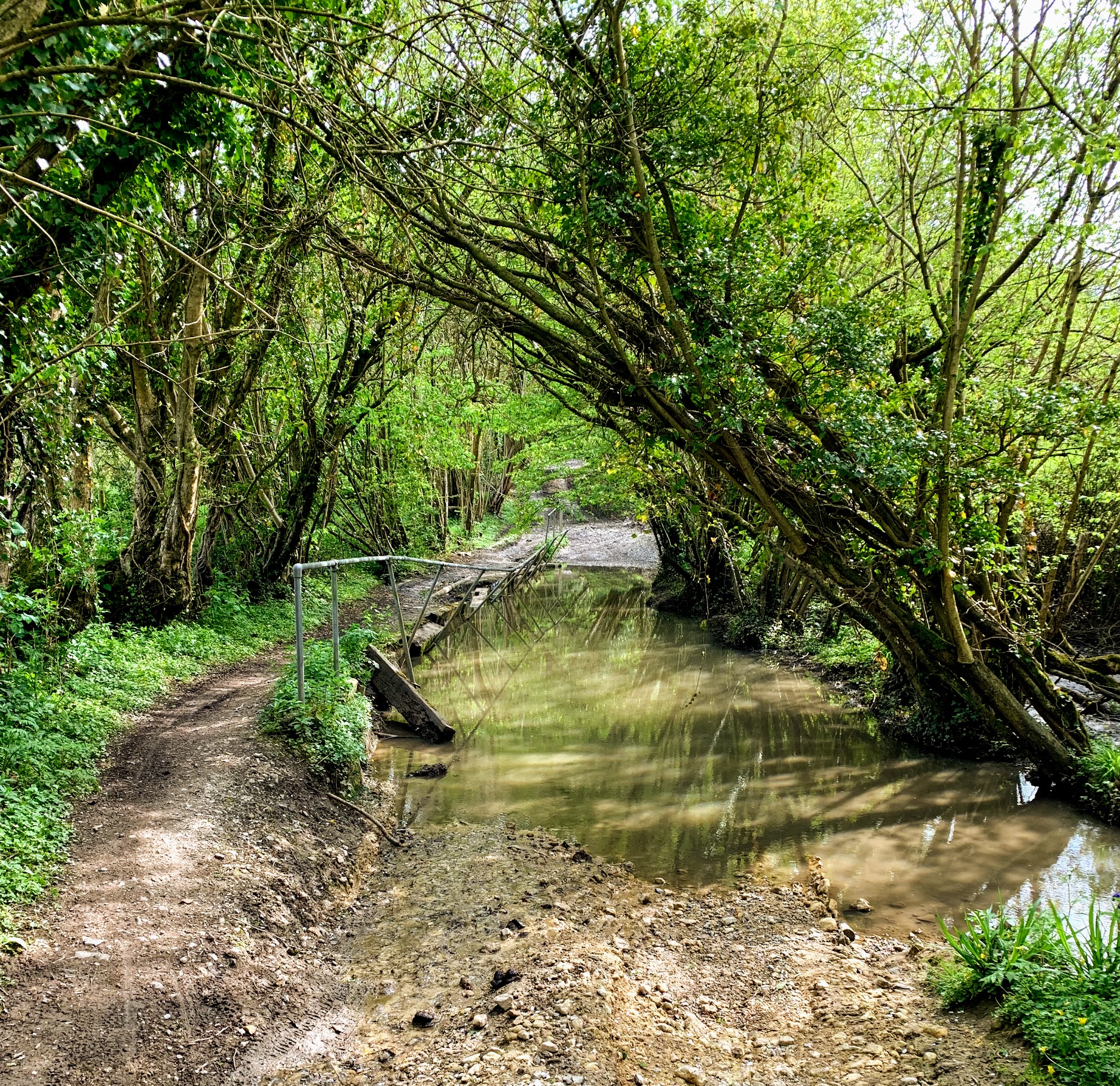
I then followed the byway to Inglesbatch (or English Batch as it is called on the early OS maps). This was easy, if slightly muddy, walking. It looked like it would be much more fun in a 4×4! If you follow me on Instagram, you will know that I am collecting pictures of named lanes, and I felt sure this would be one to add to the collection. But there is no trace of the name on recent or early OS maps, much to my disappointment.
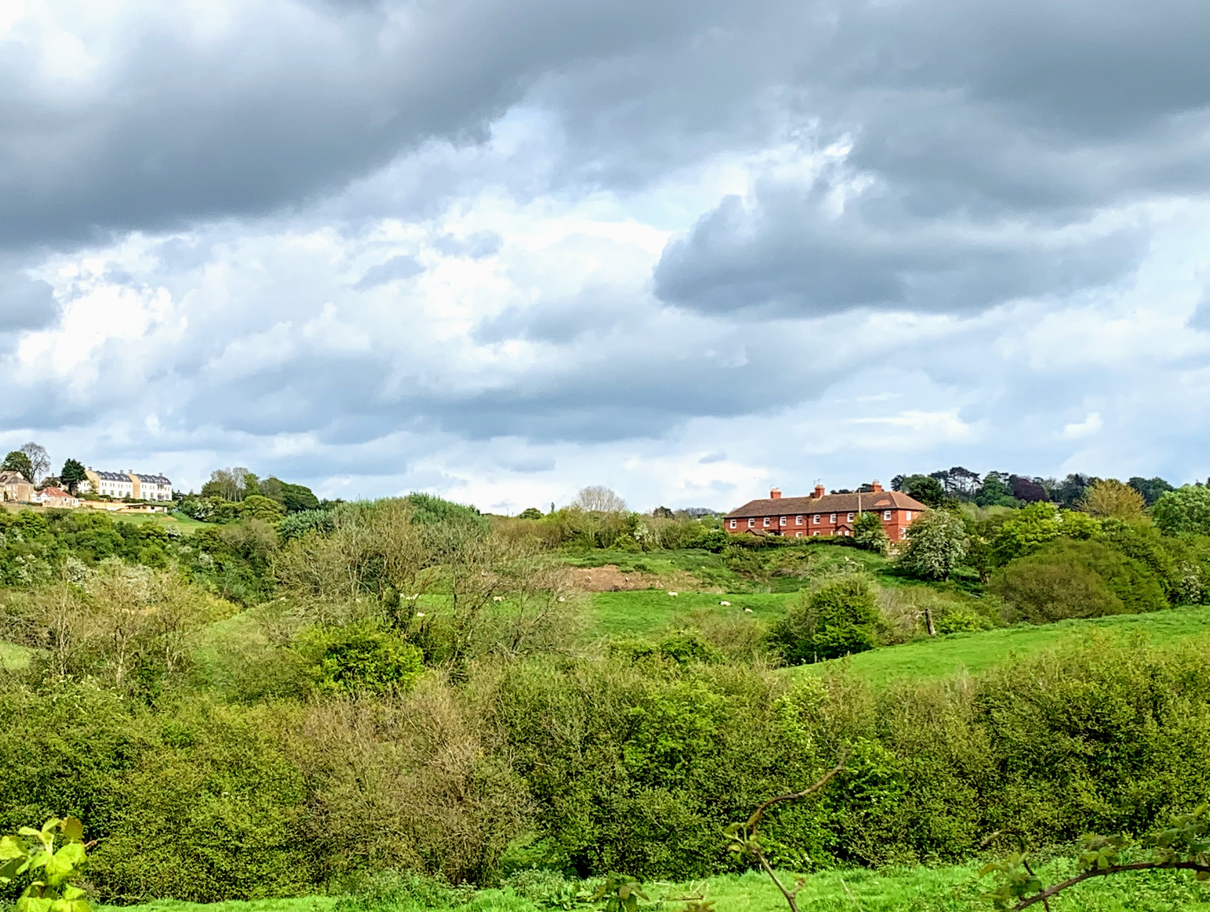
Inglesbatch itself is an incredibly pretty place. Another example of a place it is impossible to imagine affording to live in. I don’t imagine property comes up for sale very often in any case. There is absolutely nothing there, however, and it would take a stomp through the fields to get to the nearest pub.
Talking of which, my next stop was Priston, where I had intended to call in for a swift half. However, I had reckoned without the May Day Fair. The whole village was very busy and I didnt fancy my chances at the bar, so that treat will have to wait for another day. I didnt stop at the church either on this occasion, but hurried on to escape the crowds.
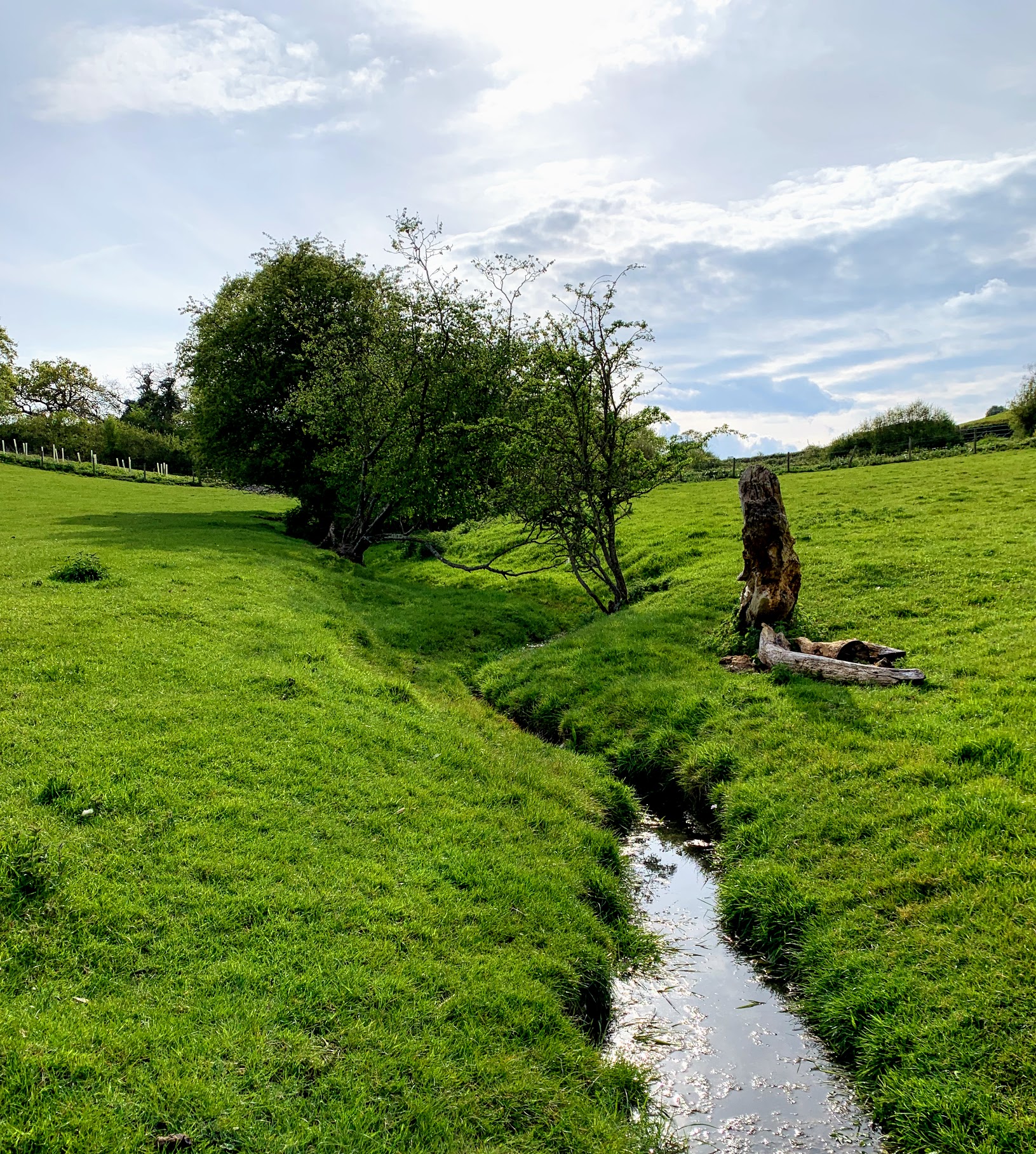
In fact, I swapped crowds of people for flocks of sheep and lambs. A good trade. The walk to Timsbury is through a valley of lush green fields, populated with the aforementioned ruminants. The slowly setting sun really made the spring-like colours pop and sheep are amusing when they nonchalantly but urgently get out of your way, so although this section was short on views I really enjoyed it.
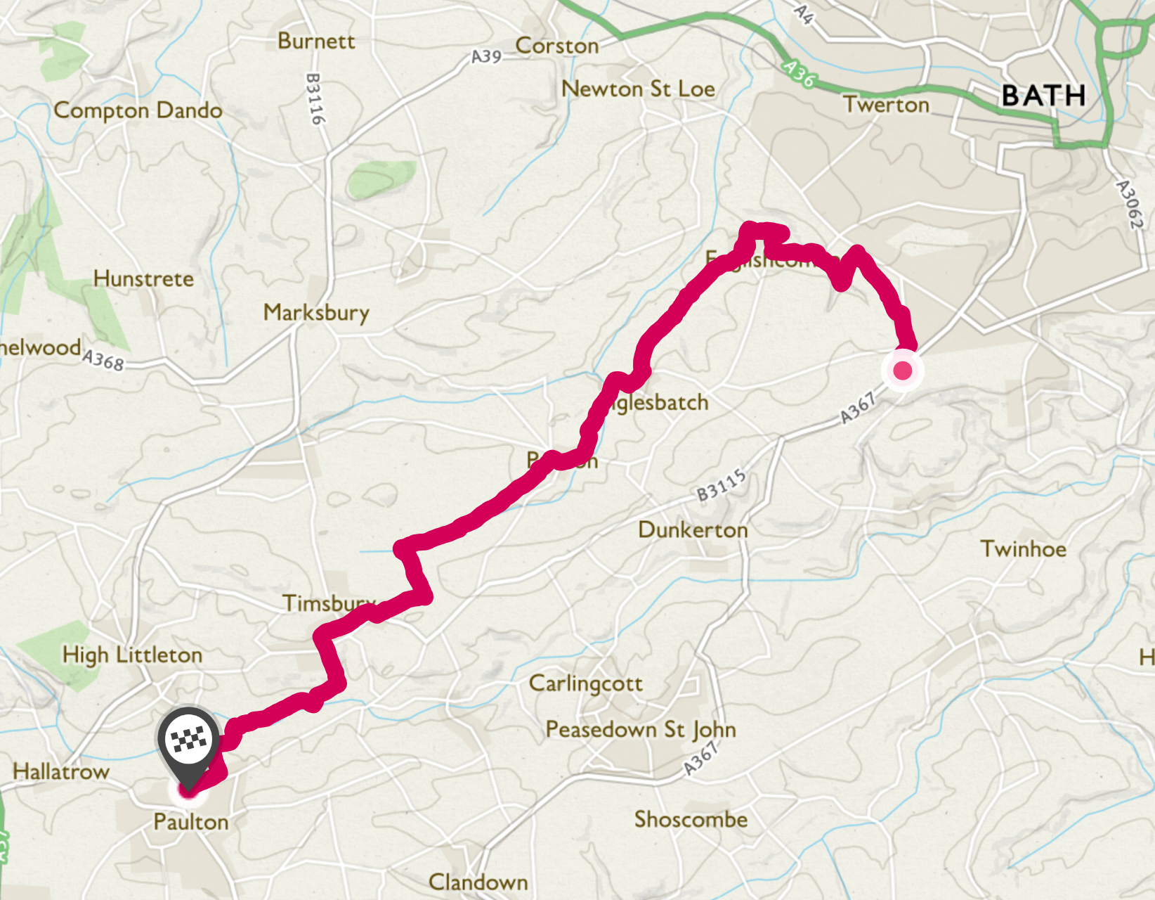
The final part of the walk, from Timsbury to home, takes me through my usual stomping ground. It drops down from Timsbury via Mill Lane and heads along the old Somerset Coal Canal towards Paulton Basin. I’ll write a post about my local paths on another day, but today I was just relieved to be coming to the end. Overall, I had a wonderful few hours achieving an ambition I’ve long harboured.
Distance: 9.35 miles