A visit from a good friend provided an excuse for walking another stretch of the Mendip Way, this time covering the section from Draycott to Priddy. This was originally planned as a circular walk, but instead of turning back at Priddy we carried on to reach Pen Hill, and caught the bus home from there.
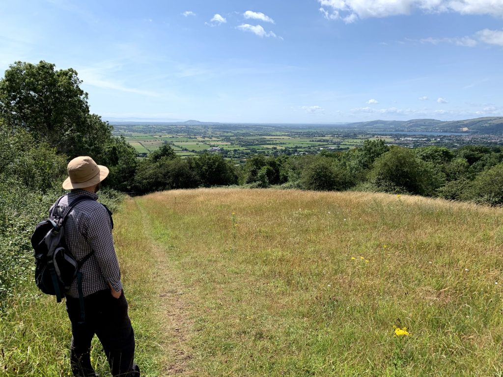
The walk started with a relatively steep climb, taking the appropriately named “Hill Lane” and emerging onto the slopes next to Draycott Sleights. The view gets progressively better as you climb. It really is pretty wonderful. It was a slightly hazy day for us, but even so we could see across the whole length of the Mendips, out to Steep Holm and across to South Wales. I intend to make an early morning trek to this point later in the year to watch the sun come up.
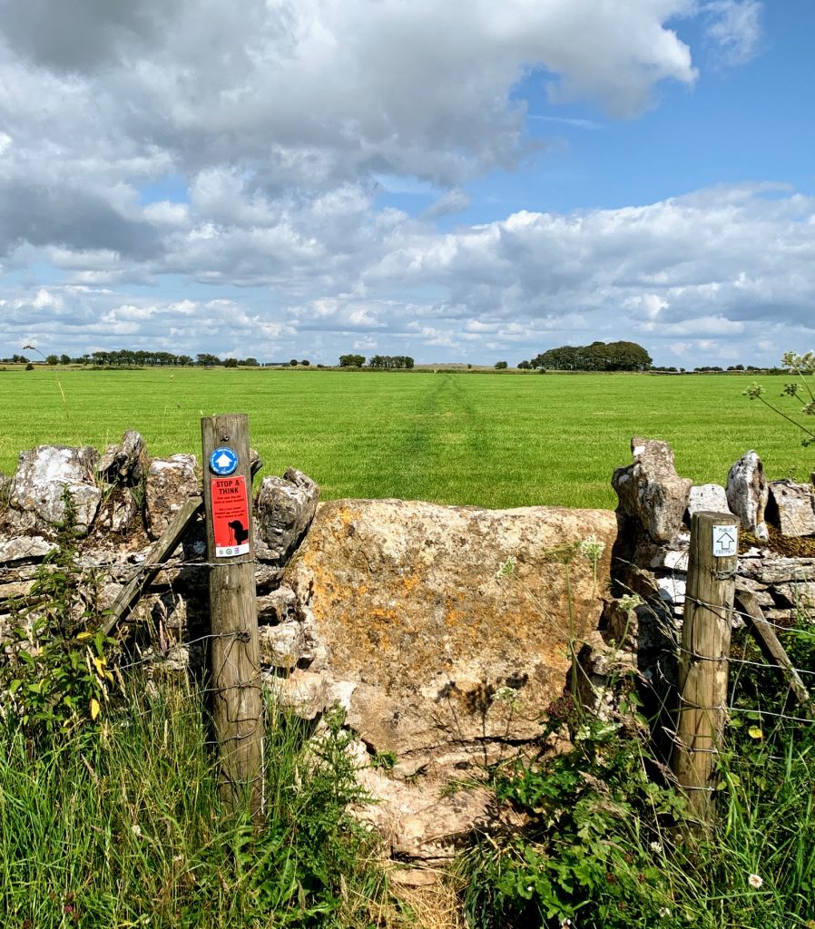
Once you’re up onto the Mendip Plataeu, things flatten out significantly. The rest of the walk is almost entirely flat. It’s a gentle stroll over to Priddy, and we were looking forward to a pint at the pub. Priddy was a lot busier than usual because it was the first day of the annual Folk Festival. The centre of the village was closed to traffic and marquees and food stalls were in place to entertain and sustain. It looks like the pub is effectively the “beer tent”, so it must be a bumper weekend for them! In practice, this meant that our pint was delivered in a plastic glass, which didn’t dent our enjoyment of a refreshing Butcombe Bohemia.
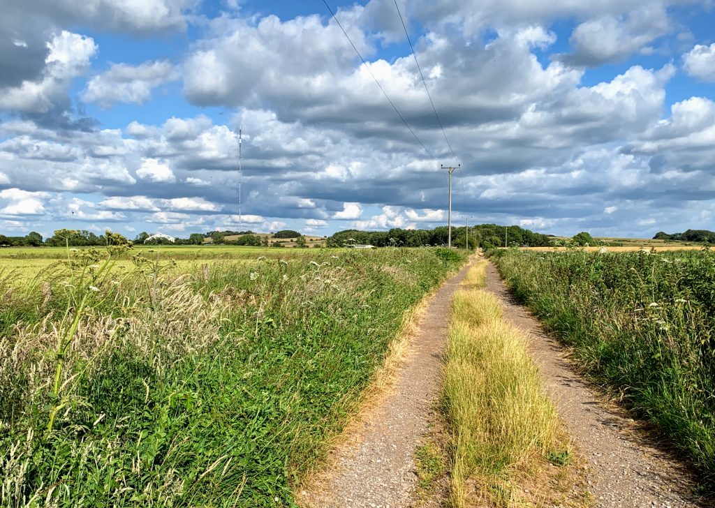
Moving on from Priddy, we followed the Mendip Way along Dursdon Drove, but instead of turning towards Ebbor Gorge (as I did here http://panifex.co.uk/2019/03/18/mendip-way-circular-2/ ) we carried straight on towards Pen Hill.
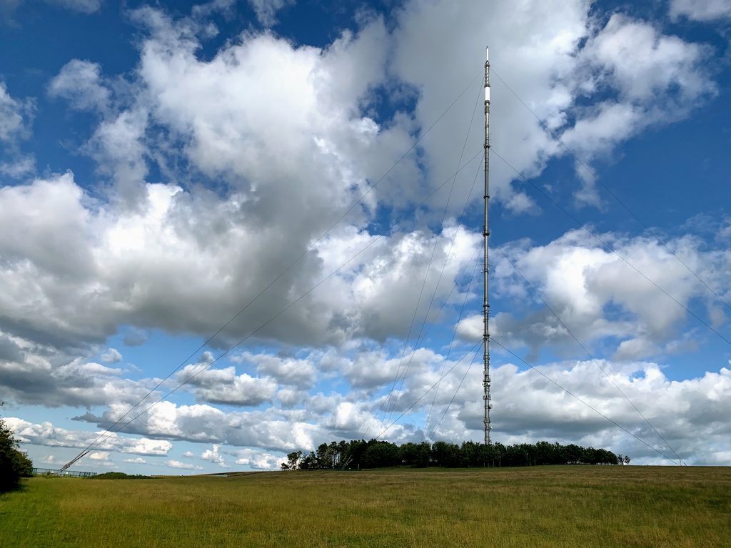
Pen Hill is the second highest point in the Mendips, the highest being Beacon Batch on Black Down. However, it is the Mendip Transmitting Station that is the key feature. Built in 1967, and coming into operation in late 1969, it is the tallest structure in the South West of England (293 metres including antennas. It was 305 metres until the removal of the analogue transmitter in 2010 ). It is thoroughly impressive. It must have been quite an undertaking to erect. The choice of site was mildly controversial at the time, with concerns raised about how it would impact on the landscape, “dwarfing Wells and its Cathedral into insignificance” as one letter writer in the Cheddar Valley Gazette put it. It is now a prominent local landmark, an integral part of the landscape, visible from wherever you are. I have loved it for all of my 20 years living in sight of it.
Another letter writer had a more practical concern.
Sir, Living within a few hundred yards of the Pen Hill television mast I am chiefly concerned with its ability to stand up. The Melton Mowbray prototype, it will be remembered, collapsed in what the BBC. itself described as “a freak wind of 70 m.p.h.” and it scattered over a considerable area.
Now it happens that I have lived for some years in Leicestershire and know the Melton site and have been living for for more than a year almost within bowshot of the Pen Hill site. Hence I can testify that whilst a 70 m.p.h. wind is certainly a freak in Melton Mowbray, it is nothing out of the ordinary on Pen Hill, where gusts of up to 100 m.p.h. have occurred even within my short experience. Have the designers of the mast any real knowledge of the local weather conditions. If so where, when and how did they get it?
T.S. Air
Cheddar Valley Gazette – Friday 13 October 1967
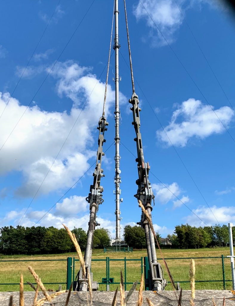
Well, no need to worry T.S. Air, the mast is still standing proud 52 years after it went up, and has clearly withstood whatever the Mendip winds have thrown at it.
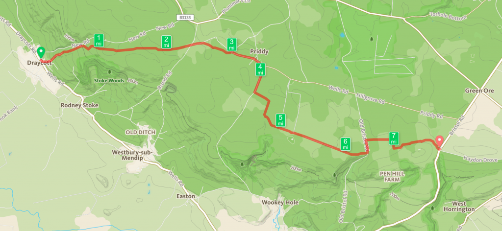
This was another really enjoyable walk. However, walking it in the opposite direction would perhaps be even better. It would be mostly flat, with a steep descent at the end, and the view would be forever in front of you. I’m already starting on persuading my kids!
Distance: 7.73 miles
