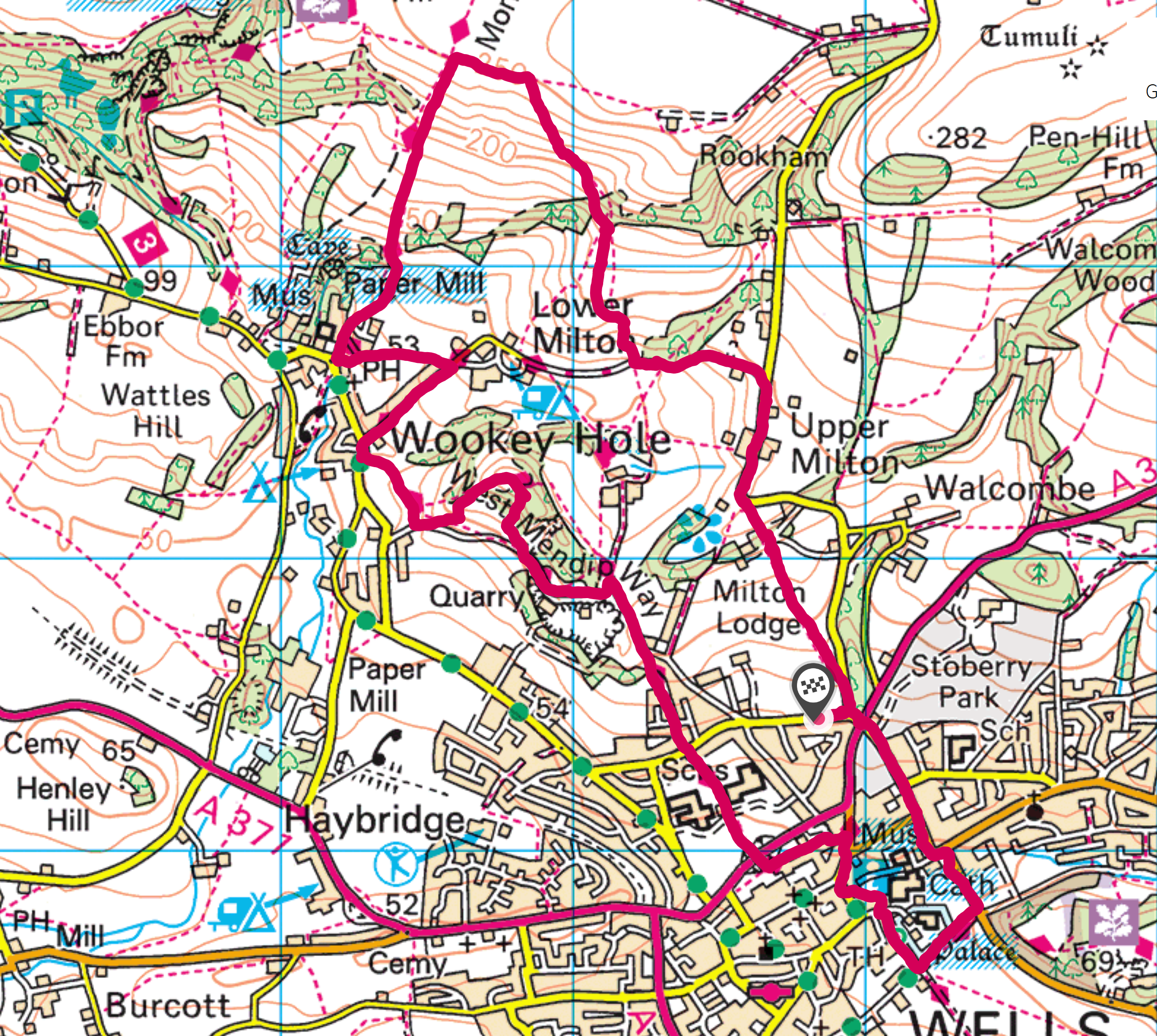
I took advantage of a warm and sunny afternoon to do another of my Mendip Way Circular walks – the third one I have done, but number 9 in the sequence. The walk begins and ends in Wells, climbing up and down the Mendip hills before rejoining the Mendip Way at Wookey Hole.
The first part of the ascent out of Wells is relatively gentle and takes you through the gardens of Milton Lodge. The views over Wells would be spectacular on a bright and clear day. Today, however, there was quite a thick haze. While this means that details are obscured, it adds to the mysterious feel of the landscape.
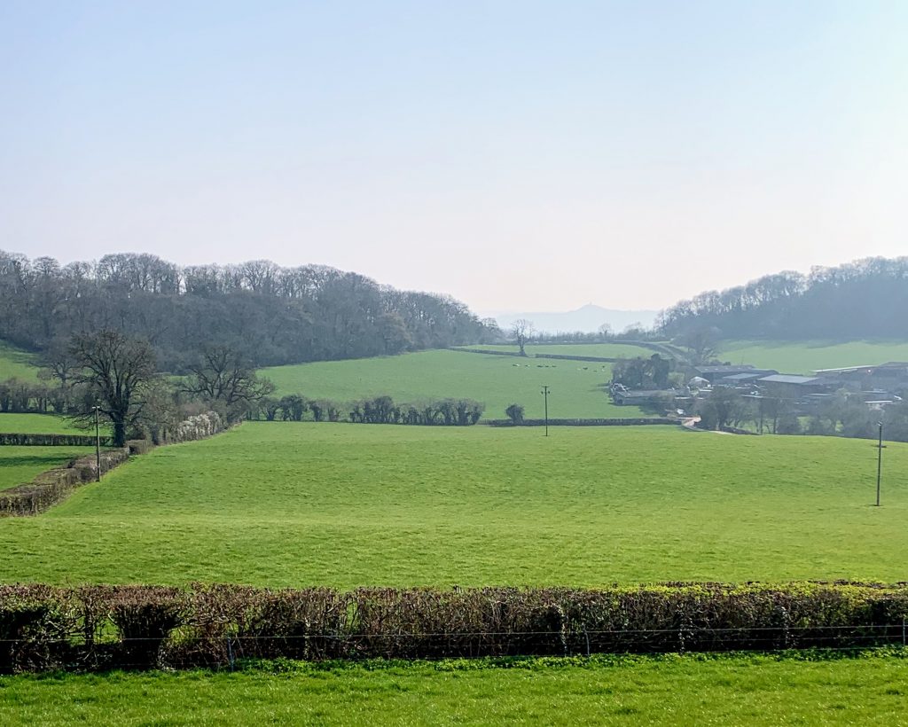
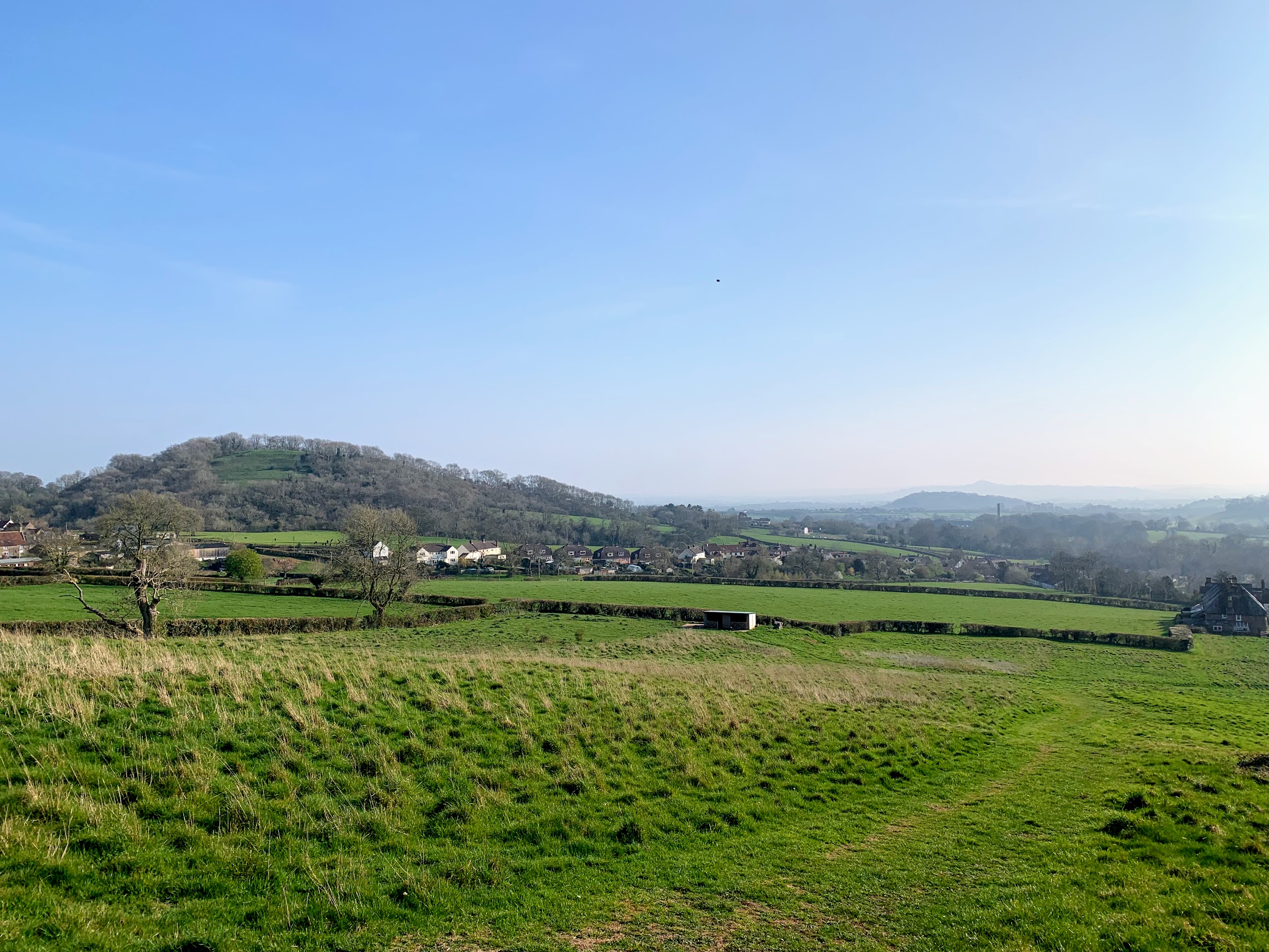
After that initial climb, and knowing how steep the final ascent would be, it was a little disconcerting that the road descended sharply. It did lead to some very pretty views across the very spring-like green fields to a somewhat greyed-out Glastonbury.
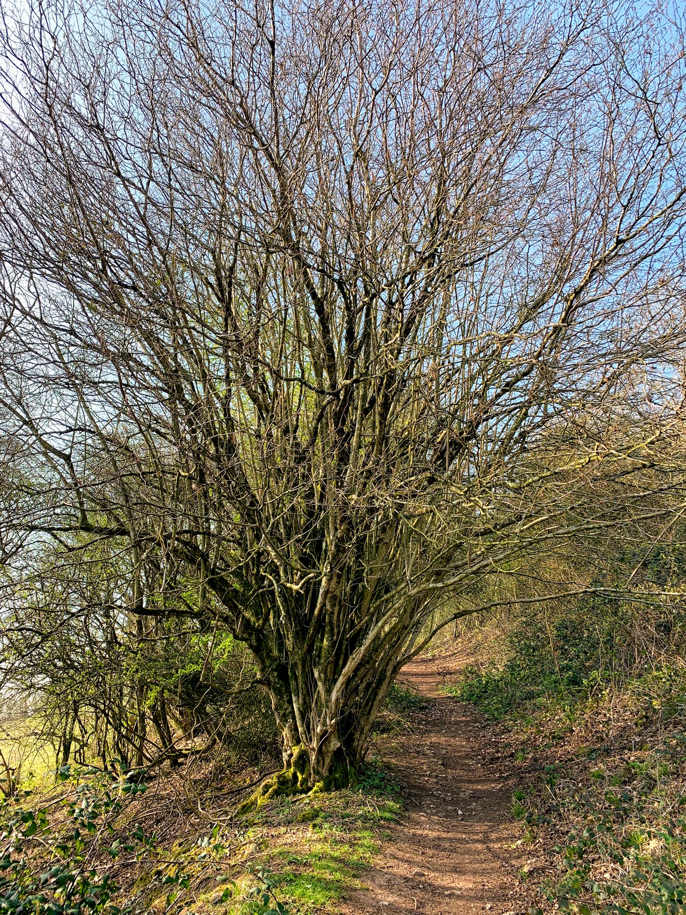
From then on the hill was much steeper. Much like on the last walk, I struggled and got very hot and sweaty. Passing under the tree in the picture above, I met two hikers coming down the hill. They were dressed in full on hiking gear, including hats and coats. We are all so different.
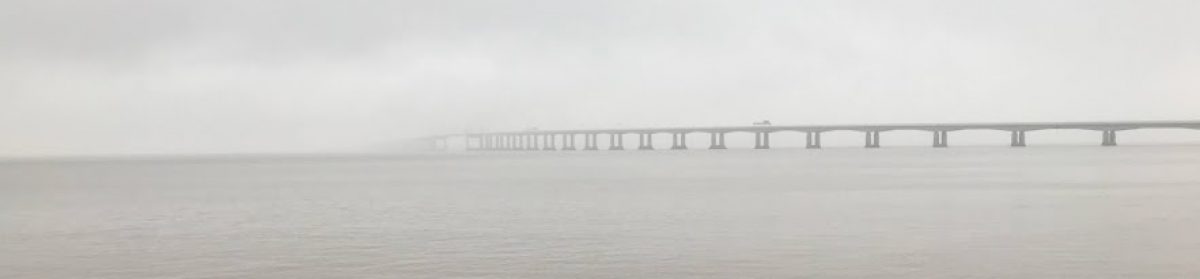
In fact the climb was less steep than in the previous walk and after a couple of recovery pauses I soon reached the top. The view from here is amazing and well worth the climb. As already mentioned, the haze reduced the detail and distance but it was still beautiful.
My walk then descended the slope that I struggled so much to climb in the my last walk. And boy, it really is steep. It was hard on the legs even going down. Just like last time, I was passed (three times!) by a runner – carrying ballast. Amazing. Near the bottom, the view opens up nicely and I could see my next destination – Arthur’s Point. I wasn’t sure I really wanted to climb another hill, but it’s only a small one (the 3450th tallest in England…).
Clearly the name Arthur’s Point is interesting! I am not sure what modern scholarship would say, but there is a facinating letter in the Wells Journal which discusses the name. It is a wonderful vantage point, and I am sure it would indeed have been useful for reconnaisance. Quite how it came to have Arthur’s name attached we will never know of course.
If we accept King Arthur (as all true Somersetshire men would gladly do) then let us associate the Point with his glorious name and deeds; if not we can fall back upon what seems to be the historic truth, that there was a great British leader named Arthur, who would probably guard the western coasts from invading Northmen, and select a site so suitable for his military observations as Arthur’s Point.
Wells Journal – Thursday 15 October 1896
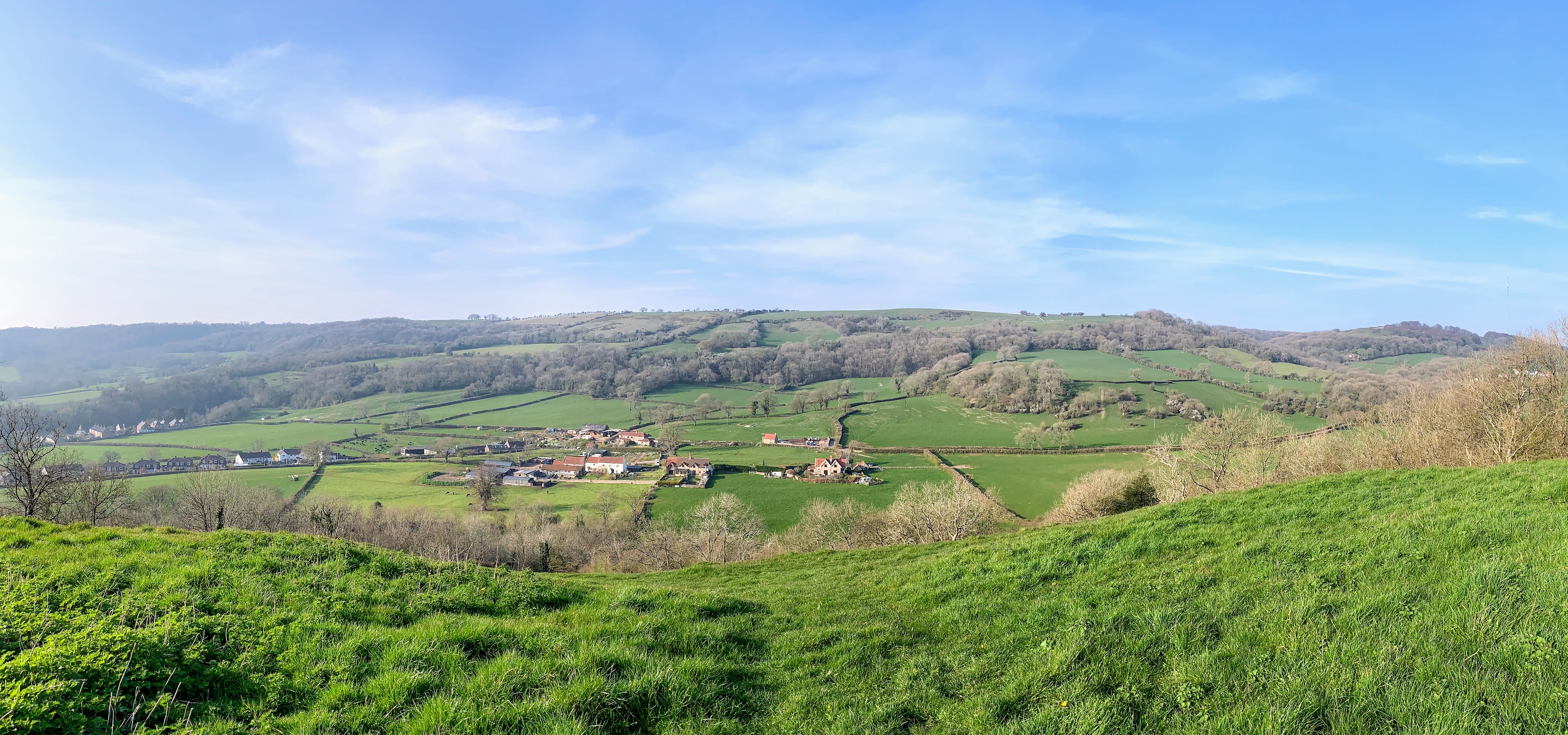
These days the trees rather block the view towards Glastonbury and the ‘western coasts’, but it is a marvellous place to stop for a snack and admire the view back towards the hills. I could trace out almost the whole of my walk so far.
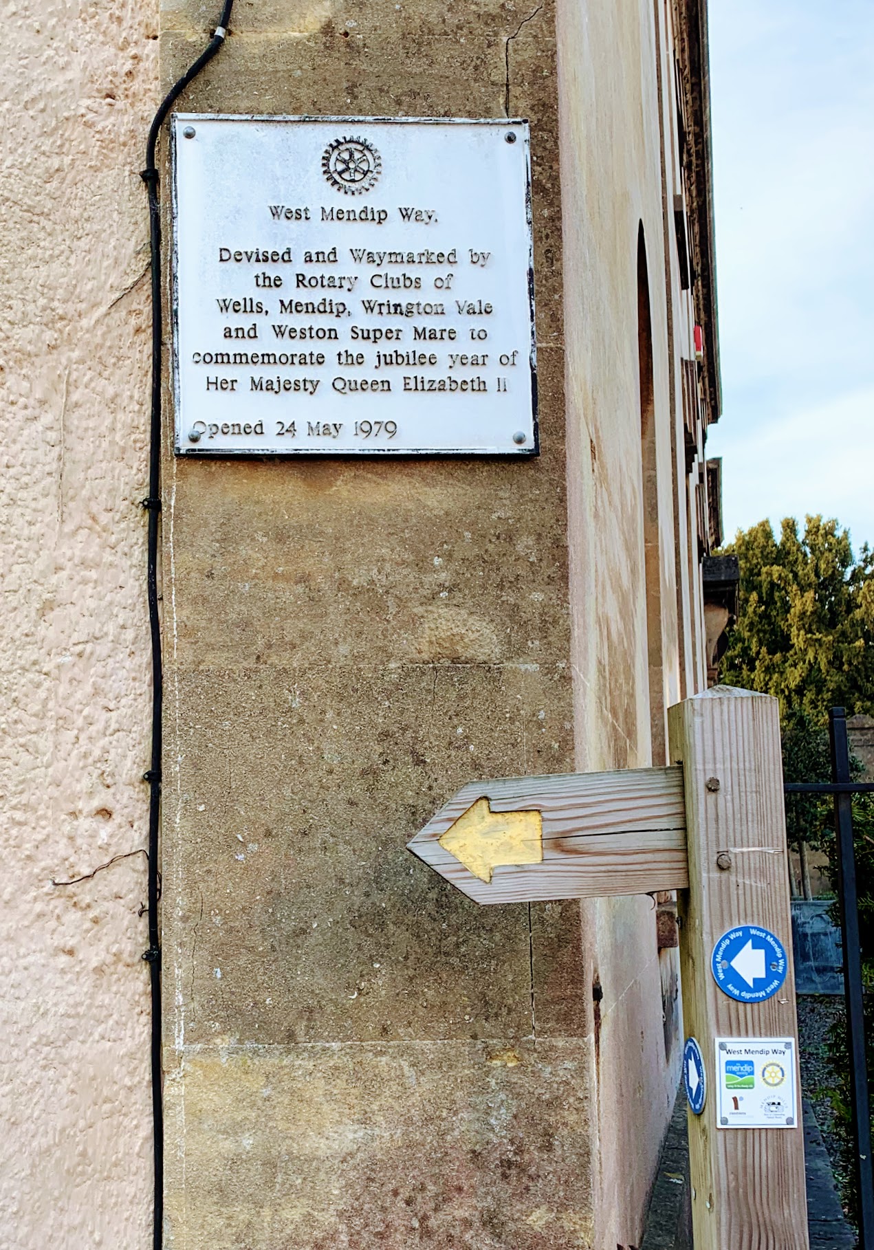
The path from Arthur’s Point back down into Wells is pleasant, but unremarkable. When I used to do this walk many years ago it was possible to see down into the depths of Underwood Quarry, but these days (very sensibly) you can’t get so close to the edge. The path also passes directly through the grounds of the Blue School, which would be interesting on a school day! There is a plaque in Wells to mark the start of the West Mendip Way. I am very grateful to the various Rotary Clubs involved.
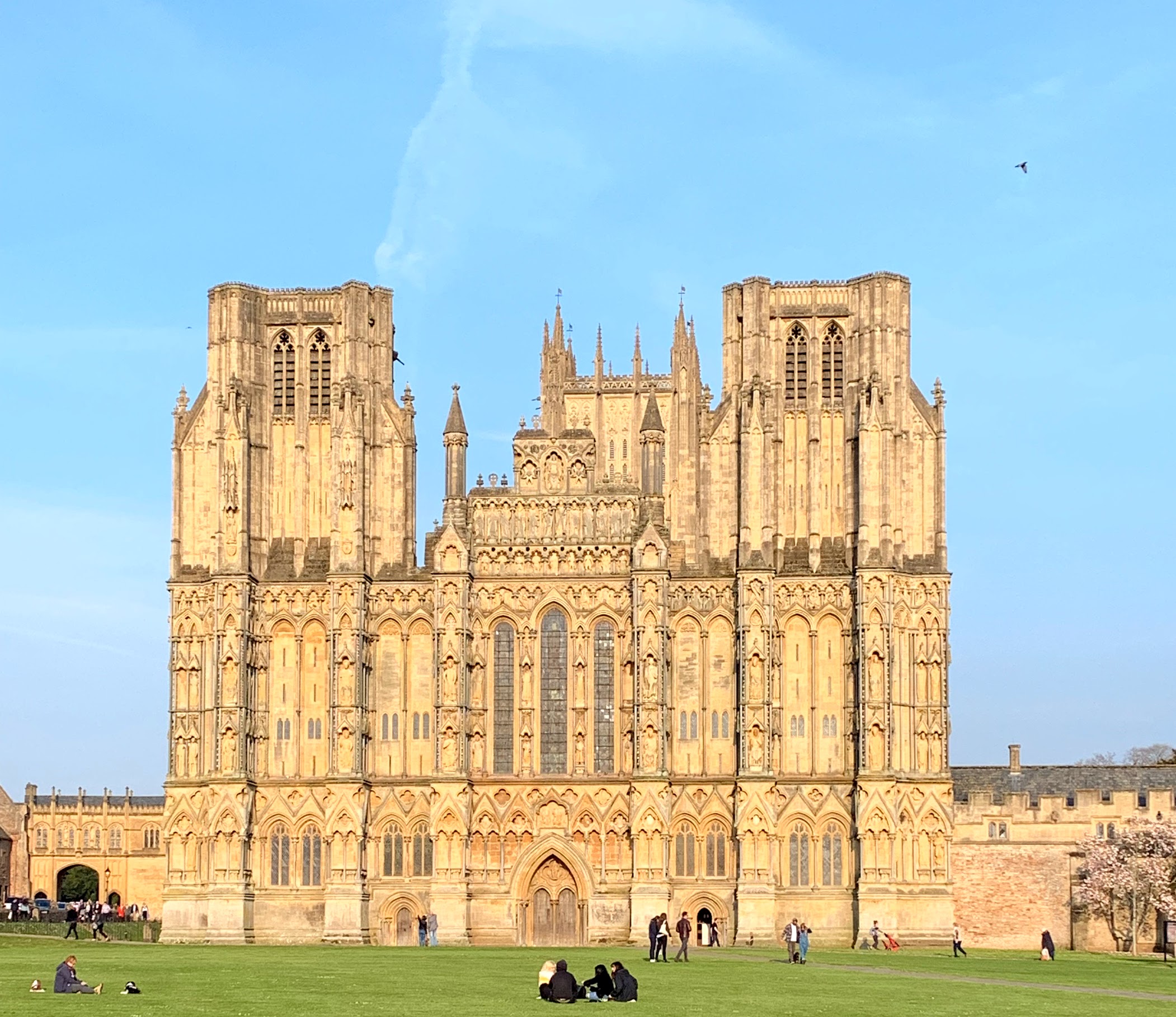
My day ended with a stroll around the incredibly impressive Wells Cathedral and the nearby Bishop’s Palace. These are obviously well worth a visit. I am particularly enamoured of the clock. Wells is also a great city for pubs (and I should know, I once did a pub crawl of all 11). On another occasion I would have popped into the White Hart, but today I had forgotten my wallet!
Distance: 6.4 miles